
| Memorials | : | 1 |
| Location | : | Skinner, Audrain County, USA |
| Coordinate | : | 39.2193400, -92.0098700 |
frequently asked questions (FAQ):
-
Where is Liberty Christian Church Cemetery?
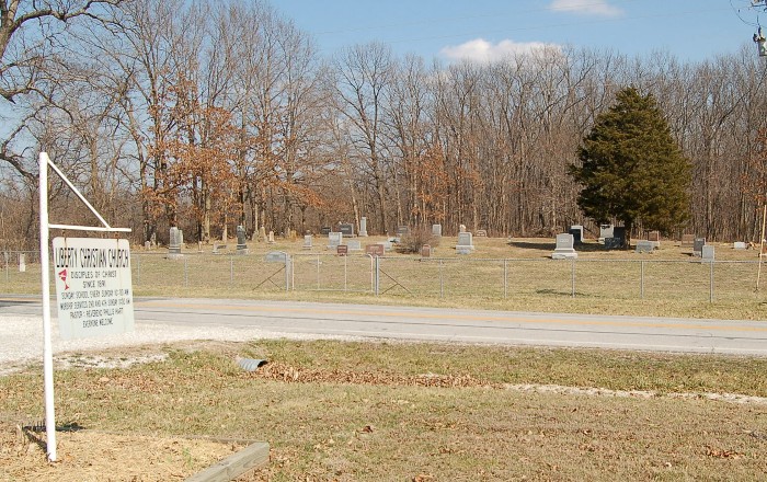
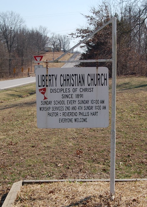
Liberty Christian Church Cemetery is located at Skinner, Audrain County ,Missouri ,USA.
-
Liberty Christian Church Cemetery cemetery's updated grave count on graveviews.com?
1 memorials
-
Where are the coordinates of the Liberty Christian Church Cemetery?
Latitude: 39.2193400
Longitude: -92.0098700
Nearby Cemetories:
1. Skull Lick Cemetery
Audrain County, USA
Coordinate: 39.2186012, -92.0524979
2. Pool Family Cemetery
Audrain County, USA
Coordinate: 39.2151900, -92.0544000
3. New Hope Cemetery
Mexico, Audrain County, USA
Coordinate: 39.1726420, -92.0498890
4. Bethlehem Cemetery
Audrain County, USA
Coordinate: 39.2680964, -92.0629515
5. Jesse Cemetery
Mexico, Audrain County, USA
Coordinate: 39.1683900, -91.9384800
6. Trinity Cemetery
Audrain County, USA
Coordinate: 39.2392006, -91.9141998
7. Salt River Christian Church Cemetery
Mexico, Audrain County, USA
Coordinate: 39.1300200, -92.0340400
8. Saint Brendans Cemetery
Mexico, Audrain County, USA
Coordinate: 39.1727982, -91.9047012
9. Sunrise Christian Cemetery
Audrain County, USA
Coordinate: 39.2475320, -91.8926930
10. Saint Johns Lutheran Columbarium
Mexico, Audrain County, USA
Coordinate: 39.1800300, -91.8971600
11. Centralia Cemetery
Centralia, Boone County, USA
Coordinate: 39.2175400, -92.1340400
12. Glendale Memorial Gardens
Centralia, Boone County, USA
Coordinate: 39.2200012, -92.1342010
13. Elmwood Cemetery
Mexico, Audrain County, USA
Coordinate: 39.1685982, -91.9039001
14. Old Village Cemetery
Mexico, Audrain County, USA
Coordinate: 39.1757545, -91.8867722
15. Saint Matthew Columbarium
Mexico, Audrain County, USA
Coordinate: 39.1628400, -91.8906900
16. Maple Grove United Methodist Church Cemetery
Rowena, Audrain County, USA
Coordinate: 39.3252430, -92.0521150
17. German Cemetery
Boone County, USA
Coordinate: 39.1418991, -92.1121979
18. First Presbyterian Columbarium
Mexico, Audrain County, USA
Coordinate: 39.1555900, -91.8880600
19. Mount Zion Cemetery
Audrain County, USA
Coordinate: 39.2933006, -91.8933029
20. Midway Christian Church Cemetery
Mexico, Audrain County, USA
Coordinate: 39.3244500, -91.9397200
21. Pleasant Grove Cemetery
Boone County, USA
Coordinate: 39.1514015, -92.1436005
22. Antioch Christian Church Cemetery
Rowena, Audrain County, USA
Coordinate: 39.3401500, -92.0461700
23. Union Church Cemetery
Centralia, Boone County, USA
Coordinate: 39.1749992, -92.1635971
24. Beaver Dam Cemetery
Audrain County, USA
Coordinate: 39.1004600, -91.9480300