
| Memorials | : | 26 |
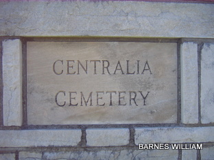
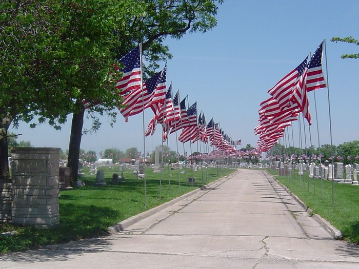
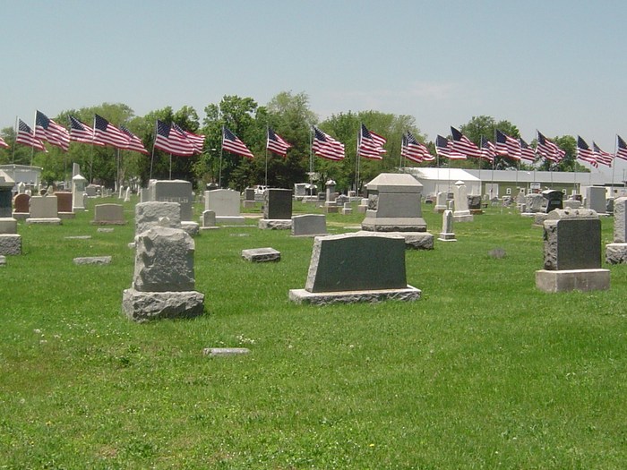
| Location | : | Centralia, Boone County, USA |
| Coordinate | : | 39.2175400, -92.1340400 |
frequently asked questions (FAQ):
-
Where is Centralia Cemetery?
Centralia Cemetery is located at Centralia, Boone County ,Missouri ,USA.
-
Centralia Cemetery cemetery's updated grave count on graveviews.com?
24 memorials
-
Where are the coordinates of the Centralia Cemetery?
Latitude: 39.2175400
Longitude: -92.1340400
Nearby Cemetories:
1. Glendale Memorial Gardens
Centralia, Boone County, USA
Coordinate: 39.2200012, -92.1342010
2. Union Church Cemetery
Centralia, Boone County, USA
Coordinate: 39.1749992, -92.1635971
3. Pool Family Cemetery
Audrain County, USA
Coordinate: 39.2151900, -92.0544000
4. Skull Lick Cemetery
Audrain County, USA
Coordinate: 39.2186012, -92.0524979
5. Fountain Cemetery
Boone County, USA
Coordinate: 39.1963997, -92.2118988
6. Pleasant Grove Cemetery
Boone County, USA
Coordinate: 39.1514015, -92.1436005
7. Applemans Chapel Cemetery
Saling, Audrain County, USA
Coordinate: 39.2646600, -92.1972400
8. Bethlehem Cemetery
Audrain County, USA
Coordinate: 39.2680964, -92.0629515
9. German Cemetery
Boone County, USA
Coordinate: 39.1418991, -92.1121979
10. New Hope Cemetery
Mexico, Audrain County, USA
Coordinate: 39.1726420, -92.0498890
11. Far West Cemetery
Sturgeon, Boone County, USA
Coordinate: 39.1986008, -92.2388992
12. Liberty Christian Church Cemetery
Skinner, Audrain County, USA
Coordinate: 39.2193400, -92.0098700
13. Mount Horeb Cemetery
Sturgeon, Boone County, USA
Coordinate: 39.2158012, -92.2842026
14. Salt River Christian Church Cemetery
Mexico, Audrain County, USA
Coordinate: 39.1300200, -92.0340400
15. Palmer Family Cemetery
Sturgeon, Boone County, USA
Coordinate: 39.1666718, -92.2712555
16. Palmer Cemetery
Bourbon Township, Boone County, USA
Coordinate: 39.1880989, -92.2833023
17. Sturgeon Cemetery
Sturgeon, Boone County, USA
Coordinate: 39.2331009, -92.2936020
18. Maple Grove United Methodist Church Cemetery
Rowena, Audrain County, USA
Coordinate: 39.3252430, -92.0521150
19. Brink-Gibson Cemetery
Sturgeon, Boone County, USA
Coordinate: 39.2195540, -92.2956280
20. Pleasant Grove Cemetery
Audrain County, USA
Coordinate: 39.3022900, -92.2536200
21. Red Top Cemetery
Hallsville, Boone County, USA
Coordinate: 39.1201400, -92.2419000
22. Ruth Nowell Burial
Sturgeon, Boone County, USA
Coordinate: 39.1734026, -92.2921461
23. Church of Christ Cemetery
Boone County, USA
Coordinate: 39.1183160, -92.2430560
24. Mount Pisgah Cemetery
Audrain County, USA
Coordinate: 39.2731500, -92.2908000