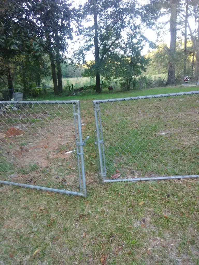
| Memorials | : | 0 |
| Location | : | Tunnel Springs, Monroe County, USA |
| Coordinate | : | 31.6360050, -87.2440810 |
frequently asked questions (FAQ):
-
Where is Liberty Church Cemetery?
Liberty Church Cemetery is located at Liberty Drive Tunnel Springs, Monroe County ,Alabama ,USA.
-
Liberty Church Cemetery cemetery's updated grave count on graveviews.com?
0 memorials
-
Where are the coordinates of the Liberty Church Cemetery?
Latitude: 31.6360050
Longitude: -87.2440810
Nearby Cemetories:
1. Philadelphia Baptist Church Cemetery
Tunnel Springs, Monroe County, USA
Coordinate: 31.6480060, -87.2394500
2. Amity Cemetery
Tunnel Springs, Monroe County, USA
Coordinate: 31.6394660, -87.2619360
3. Cunningham Cemetery
Tunnel Springs, Monroe County, USA
Coordinate: 31.6575090, -87.2601990
4. Fountain Cemetery
Tunnel Springs, Monroe County, USA
Coordinate: 31.6588600, -87.2219260
5. Old Scotland Presbyterian Church Cemetery
Monroeville, Monroe County, USA
Coordinate: 31.6673130, -87.2731460
6. Mount Olive Baptist Church Cemetery
Monroe County, USA
Coordinate: 31.6145950, -87.2941930
7. Antioch Baptist Church Cemetery
Tunnel Springs, Monroe County, USA
Coordinate: 31.6411430, -87.1867490
8. Davis Family Cemetery
Monroe County, USA
Coordinate: 31.5919940, -87.2112360
9. Davison-McMillan Cemetery
Tunnel Springs, Monroe County, USA
Coordinate: 31.6756630, -87.2869350
10. Mars Hill Baptist Church Cemetery
Peterman, Monroe County, USA
Coordinate: 31.5942320, -87.2849240
11. Davidson Cemetery
Monroe County, USA
Coordinate: 31.6749992, -87.2891998
12. Poindexter Cemetery
Peterman, Monroe County, USA
Coordinate: 31.5738500, -87.2314210
13. Rumbley Cemetery
Monroeville, Monroe County, USA
Coordinate: 31.5718994, -87.2463989
14. Rankin Cemetery
Monroe County, USA
Coordinate: 31.5763300, -87.2087900
15. McWilliams-Davison Cemetery
Axle, Monroe County, USA
Coordinate: 31.5956440, -87.3279620
16. Shiloh Baptist Church Cemetery
Natchez, Monroe County, USA
Coordinate: 31.7200670, -87.2763680
17. Old Duke Cemetery
Monroe County, USA
Coordinate: 31.5654000, -87.1807330
18. Pine Orchard Cemetery
Conecuh County, USA
Coordinate: 31.6408005, -87.1355972
19. Frye Cemetery
Axle, Monroe County, USA
Coordinate: 31.6180120, -87.3507500
20. Ramah Baptist Church Cemetery
Pine Orchard, Monroe County, USA
Coordinate: 31.6119003, -87.1386032
21. New Hope Cemetery
Beatrice, Monroe County, USA
Coordinate: 31.7285520, -87.2607740
22. Ridge Cemetery
Peterman, Monroe County, USA
Coordinate: 31.5967007, -87.3471985
23. Pilgrim Rest AME Zion Church Cemetery
Monroe County, USA
Coordinate: 31.5495110, -87.1933000
24. Stallworth Cemetery
Beatrice, Monroe County, USA
Coordinate: 31.7273250, -87.2001630

