
| Memorials | : | 16 |
| Location | : | Perry, Ralls County, USA |
| Coordinate | : | 39.4185982, -91.6774979 |
frequently asked questions (FAQ):
-
Where is Lick Creek Cemetery?
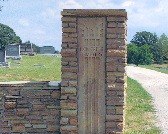
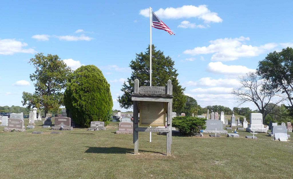
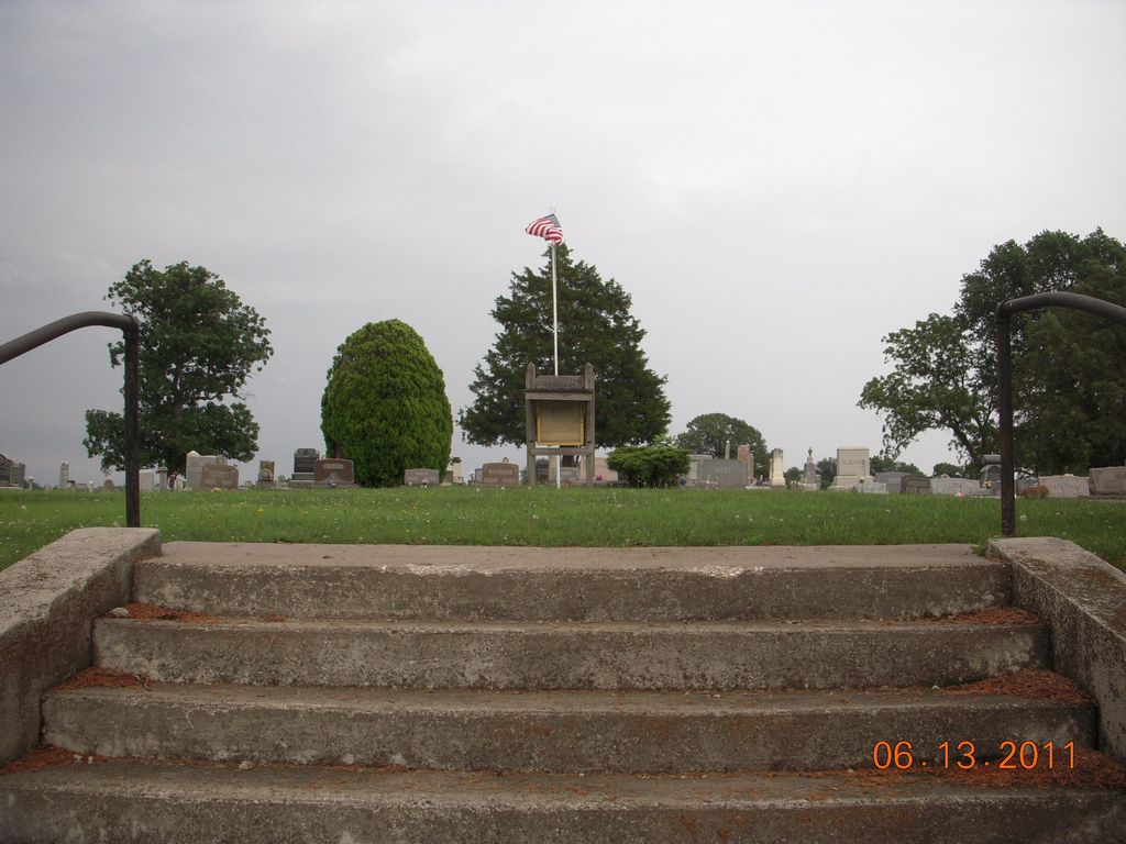
Lick Creek Cemetery is located at Perry, Ralls County ,Missouri ,USA.
-
Lick Creek Cemetery cemetery's updated grave count on graveviews.com?
16 memorials
-
Where are the coordinates of the Lick Creek Cemetery?
Latitude: 39.4185982
Longitude: -91.6774979
Nearby Cemetories:
1. Wolfe Cemetery
Perry, Ralls County, USA
Coordinate: 39.4392014, -91.6714020
2. Muldrow Cemetery
Salt River, Ralls County, USA
Coordinate: 39.3992004, -91.6408005
3. Old Mount Prairie Cemetery
Monroe County, USA
Coordinate: 39.4557991, -91.7241974
4. Mount Prairie Presbyterian Church Cemetery
Monroe County, USA
Coordinate: 39.4558590, -91.7242400
5. Fern Chapel Cemetery
Ralls County, USA
Coordinate: 39.4033500, -91.6070900
6. Scobee Cemetery
Ralls County, USA
Coordinate: 39.4688988, -91.7136002
7. Green Lawn Cemetery
Ralls County, USA
Coordinate: 39.4778100, -91.6861000
8. Mount Prairie Baptist Church Cemetery
Monroe County, USA
Coordinate: 39.4667700, -91.7355100
9. Corinth Cemetery
Ralls County, USA
Coordinate: 39.3422012, -91.6436005
10. Utterback Cemetery
Ralls County, USA
Coordinate: 39.5080986, -91.6917038
11. South Fork Cemetery
Santa Fe, Monroe County, USA
Coordinate: 39.3889000, -91.7903000
12. Union Chapel Cemetery
Perry, Ralls County, USA
Coordinate: 39.4176000, -91.5553000
13. Pleasant Grove Cemetery
Ralls County, USA
Coordinate: 39.5057500, -91.6298300
14. Saint Paul Cemetery
Center, Ralls County, USA
Coordinate: 39.5026300, -91.6056200
15. Crigler Cemetery
Florida, Monroe County, USA
Coordinate: 39.5121994, -91.7497025
16. Florida Cemetery
Florida, Monroe County, USA
Coordinate: 39.4947850, -91.7933250
17. Unity Cemetery
Audrain County, USA
Coordinate: 39.3106003, -91.7380981
18. Santa Fe Cemetery
Santa Fe, Monroe County, USA
Coordinate: 39.3689180, -91.8206540
19. Victor Cemetery
Monroe County, USA
Coordinate: 39.4547500, -91.8340800
20. Talley Cemetery I
Prairie Township, Audrain County, USA
Coordinate: 39.3166655, -91.7837607
21. Talley Cemetery
Salt River Township, Audrain County, USA
Coordinate: 39.3166666, -91.7839523
22. Yager Cemetery
The Landing, Ralls County, USA
Coordinate: 39.5600640, -91.6719080
23. Hays Creek Cemetery
Ralls County, USA
Coordinate: 39.4082000, -91.4881000
24. New Oakland Cemetery
The Landing, Ralls County, USA
Coordinate: 39.5660200, -91.6651200