
| Memorials | : | 6 |
| Location | : | Liberty, Clay County, USA |
| Coordinate | : | 39.2294500, -94.4056100 |
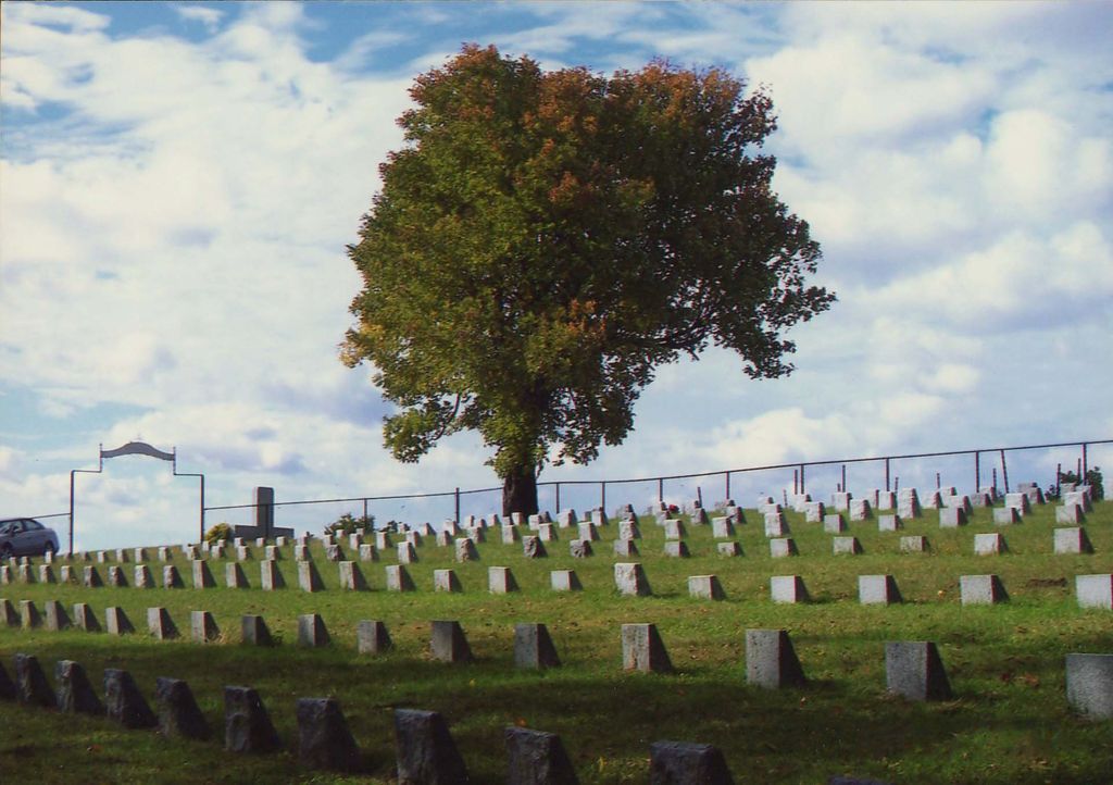
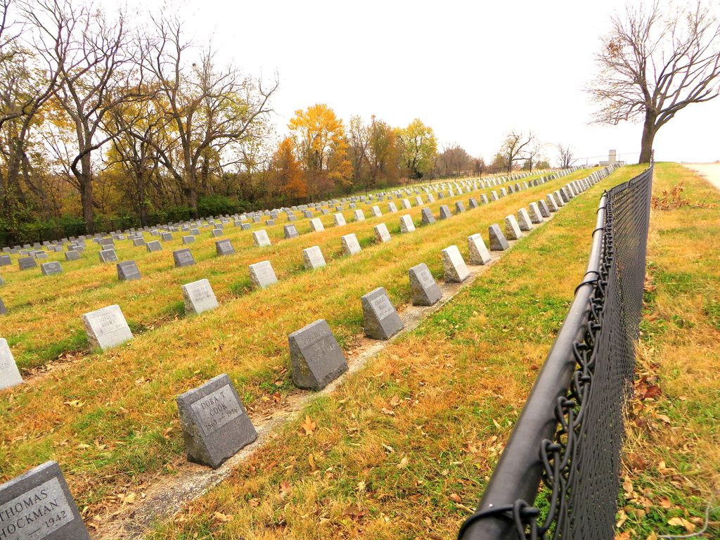
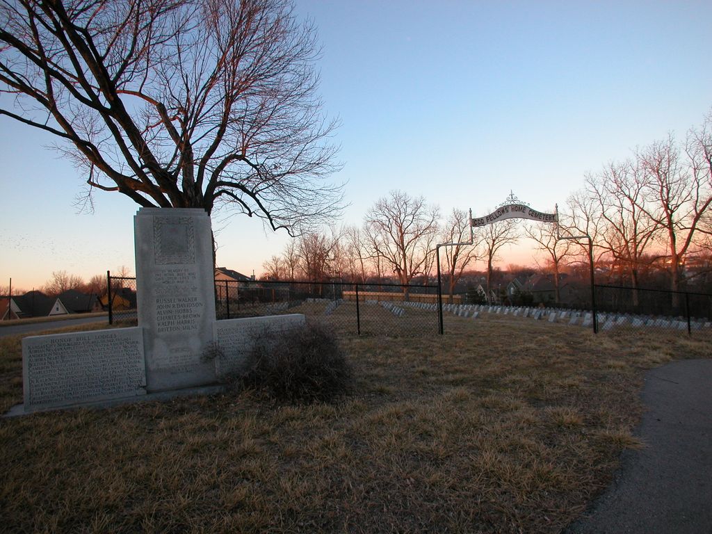
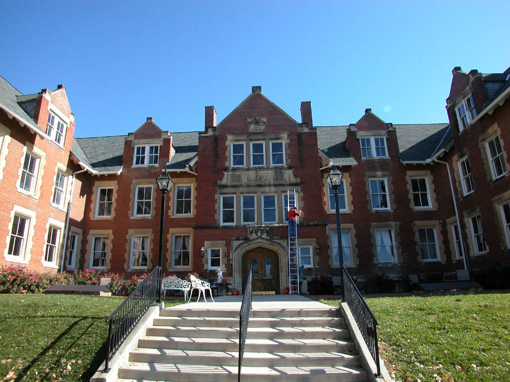
| Description | : | Originally the Reed Springs Hotel, a three-story frame building with three towers on the roof, occupied the site (on the present highway 291). A long oval racetrack was in front of the hotel. There were 108 rooms, with wall to wall carpeting. The dining room, with a seating capacity of 175, was equipped with sterling silver and linen tablecloths and napkins. The hotel was built in 1888 by financial interests in St. Louis. The site was chosen because of mineral springs there. They were discovered about the same time as those at Excelsior Springs, 15 miles away. Iron, sulphosaline, soda and... Read More |
frequently asked questions (FAQ):
-
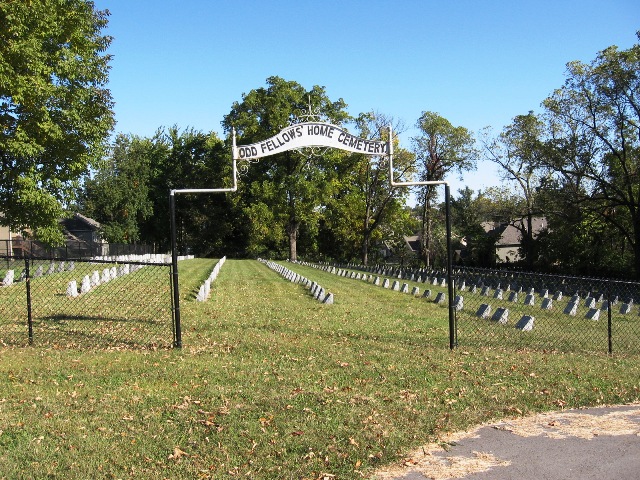
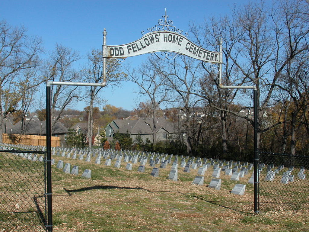
Where is Odd Fellows Cemetery?
Odd Fellows Cemetery is located at 1325 Odd Fellows Road Liberty, Clay County ,Missouri , 64068USA.
-
Odd Fellows Cemetery cemetery's updated grave count on graveviews.com?
5 memorials
-
Where are the coordinates of the Odd Fellows Cemetery?
Latitude: 39.2294500
Longitude: -94.4056100
Nearby Cemetories:
1. New Hope Cemetery
Liberty, Clay County, USA
Coordinate: 39.2392006, -94.4255981
2. Second Baptist Church Cemetery
Liberty, Clay County, USA
Coordinate: 39.2465860, -94.4172780
3. Fairview Cemetery
Liberty, Clay County, USA
Coordinate: 39.2428017, -94.4238968
4. Mount Memorial Cemetery
Liberty, Clay County, USA
Coordinate: 39.2489014, -94.4123383
5. George Wymore Gravesite
Clay County, USA
Coordinate: 39.2471100, -94.4191200
6. Keller Cemetery
Clay County, USA
Coordinate: 39.2415200, -94.3627900
7. Weber-Irminger Cemetery
Liberty, Clay County, USA
Coordinate: 39.2266400, -94.3573900
8. Baker Cemetery
Liberty, Clay County, USA
Coordinate: 39.2678700, -94.4171600
9. Nebo Cemetery
South Liberty, Clay County, USA
Coordinate: 39.2160072, -94.3571701
10. Arthur Cemetery
Liberty, Clay County, USA
Coordinate: 39.2083527, -94.4501364
11. Adkins Family Cemetery
Liberty, Callaway County, USA
Coordinate: 39.2206840, -94.4579870
12. Adkins Family Cemetery
Liberty, Clay County, USA
Coordinate: 39.2206840, -94.4579870
13. Glenridge Cemetery
Liberty, Clay County, USA
Coordinate: 39.2775002, -94.3927994
14. Lincoln Cemetery
Liberty, Clay County, USA
Coordinate: 39.2788600, -94.4198900
15. McQuiddy Cemetery
Kansas City, Clay County, USA
Coordinate: 39.2504437, -94.4658178
16. McQuiddy Family Cemetery
Liberty, Clay County, USA
Coordinate: 39.2639000, -94.3519000
17. Davidson Cemetery
Kansas City, Clay County, USA
Coordinate: 39.2332993, -94.4794006
18. Little Shoal Cemetery
Liberty, Clay County, USA
Coordinate: 39.2736015, -94.4646988
19. Pence Cemetery
Pleasant Valley, Clay County, USA
Coordinate: 39.2308006, -94.4899979
20. Robertson Cemetery
Clay County, USA
Coordinate: 39.2952995, -94.3964005
21. Pickett Cemetery
Liberty, Clay County, USA
Coordinate: 39.2963982, -94.4285965
22. Chandler Church Cemetery
Chandler, Clay County, USA
Coordinate: 39.2986412, -94.3818207
23. Minneville Cemetery
Minaville, Clay County, USA
Coordinate: 39.1671906, -94.4616928
24. Mann Cemetery
Sugar Creek, Jackson County, USA
Coordinate: 39.1511002, -94.4002991