
| Memorials | : | 130 |
| Location | : | Southwark, London Borough of Southwark, England |
| Coordinate | : | 51.4978590, -0.0825360 |
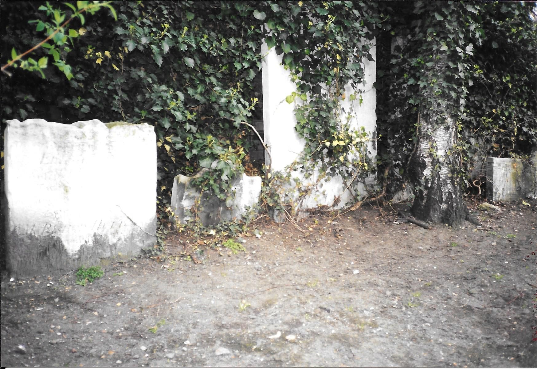
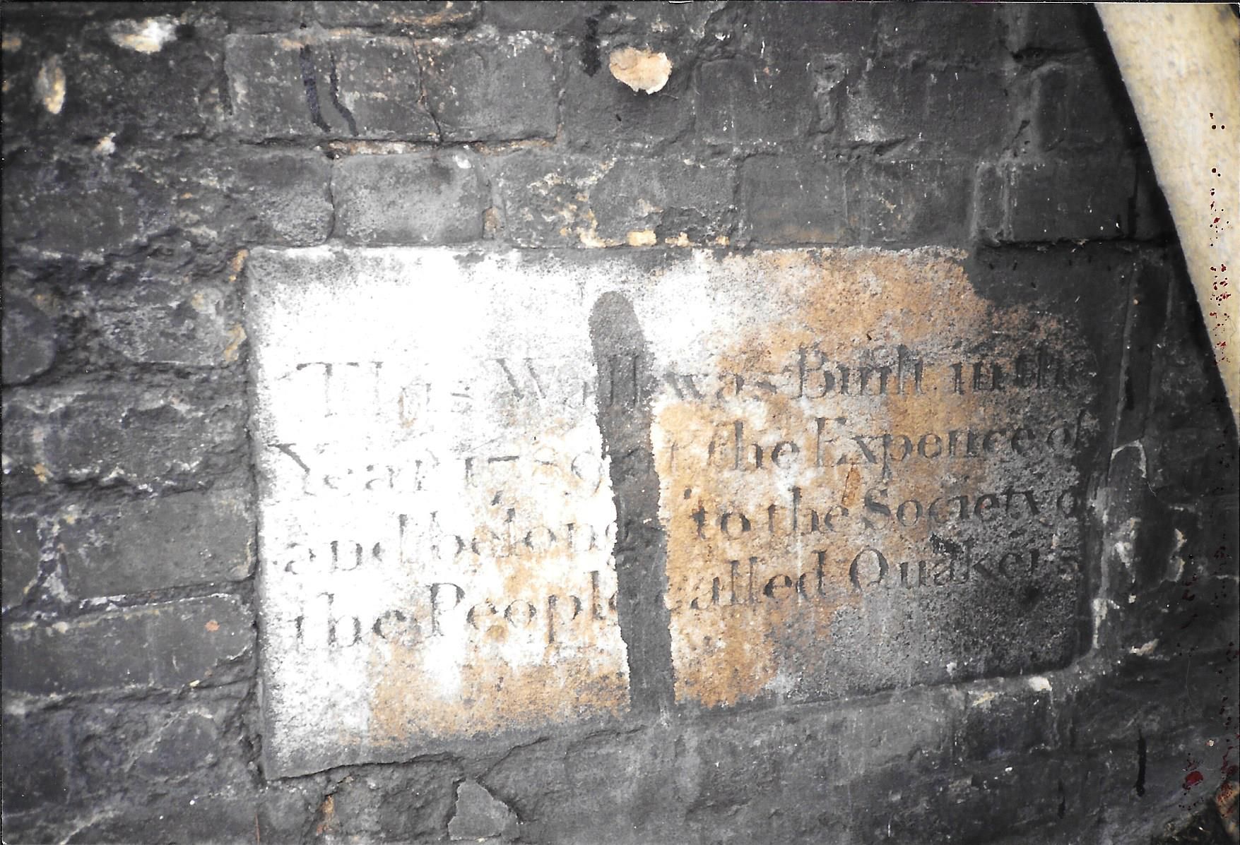
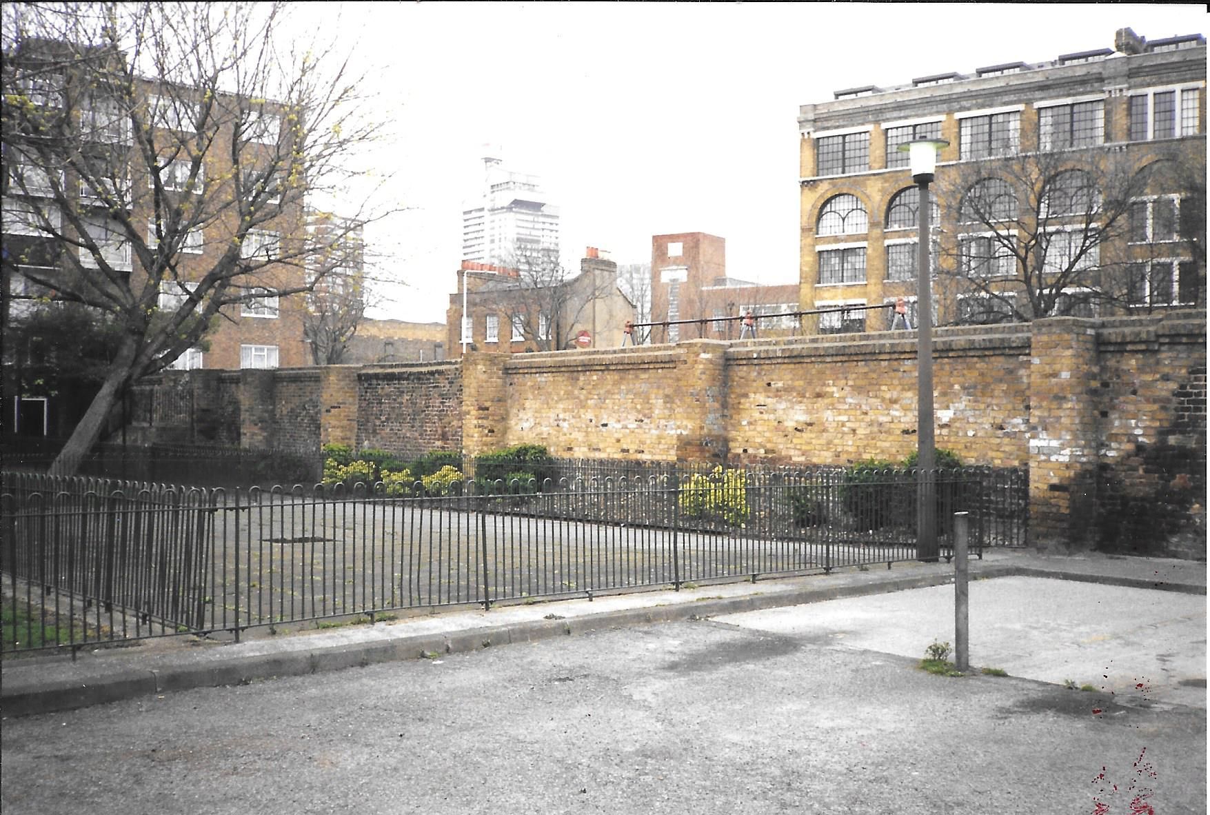
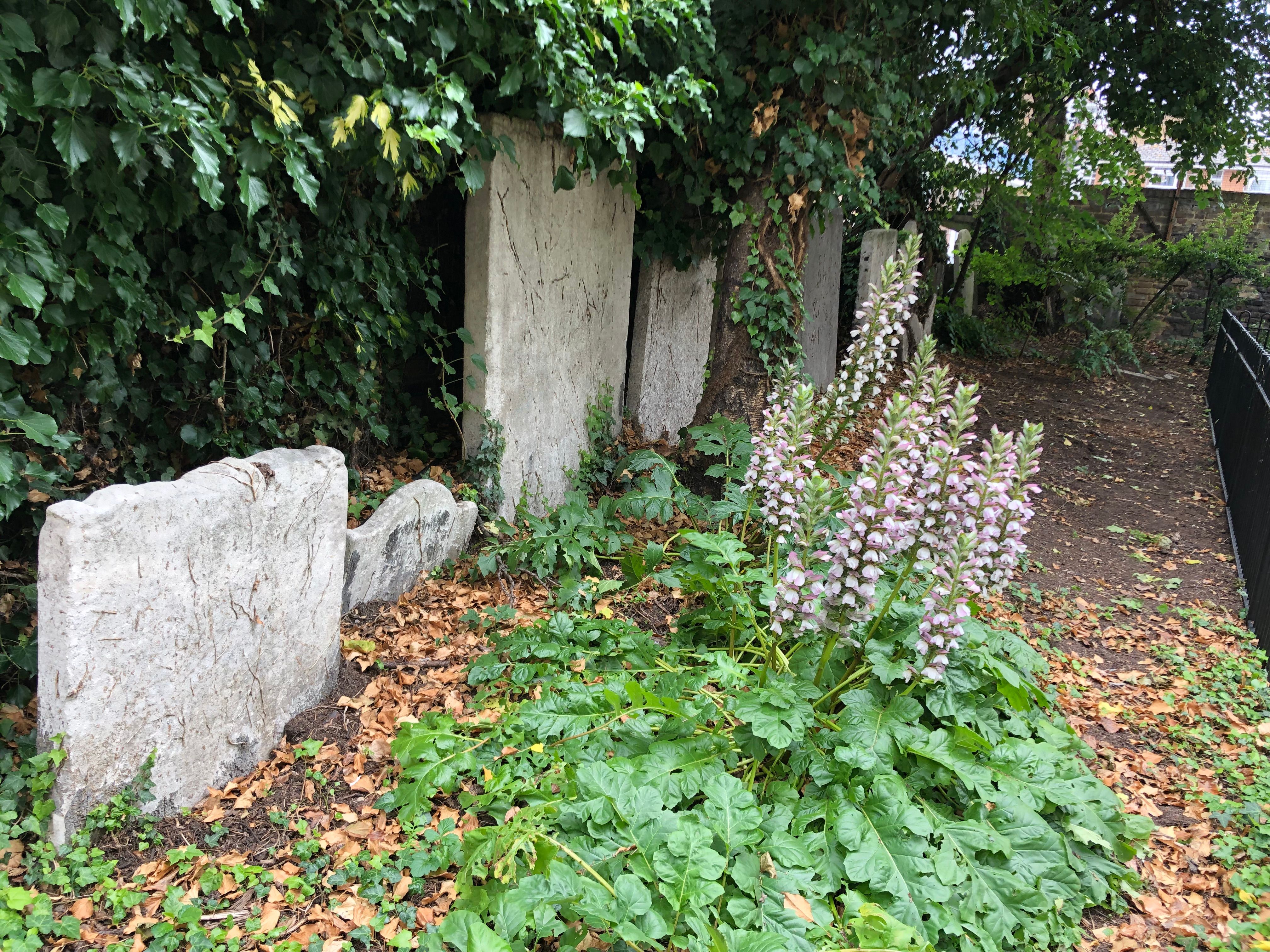
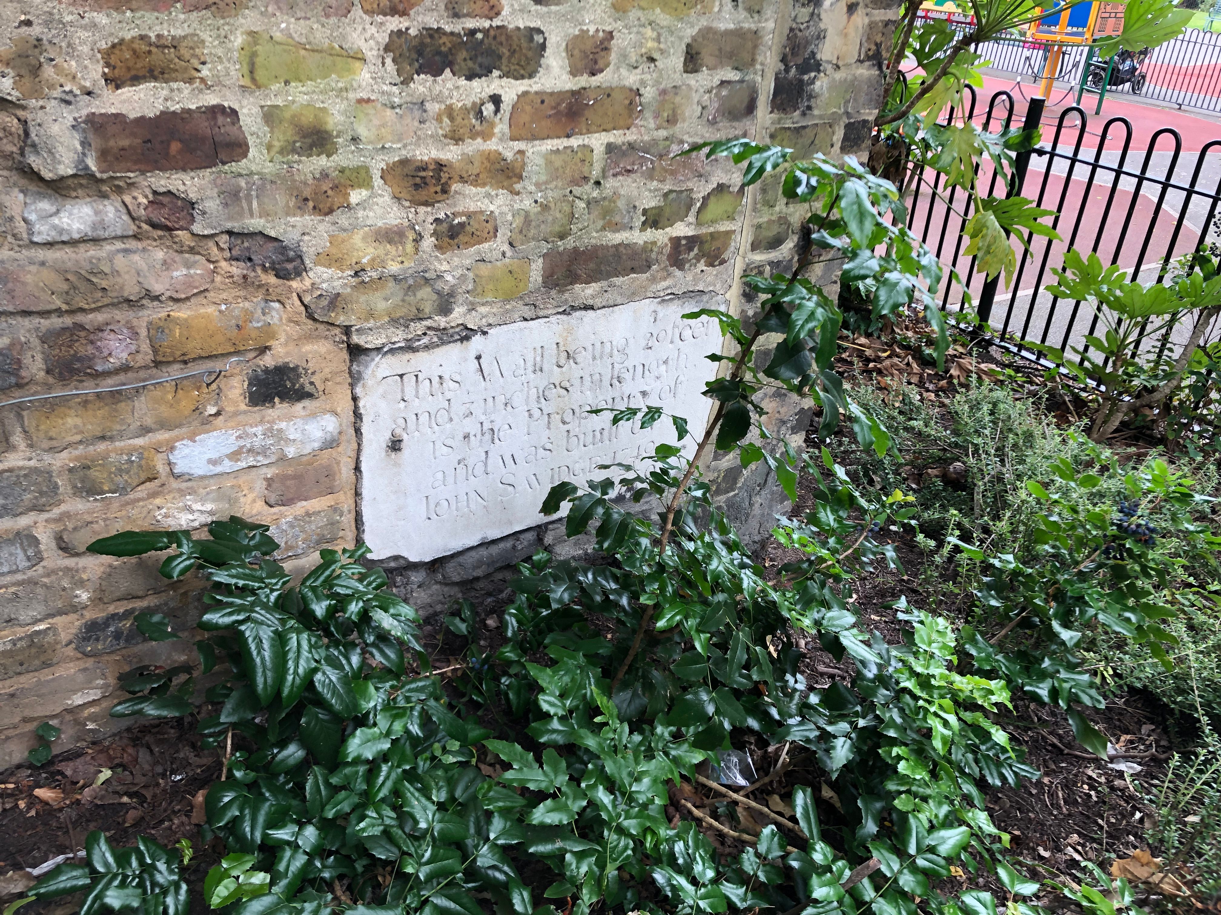
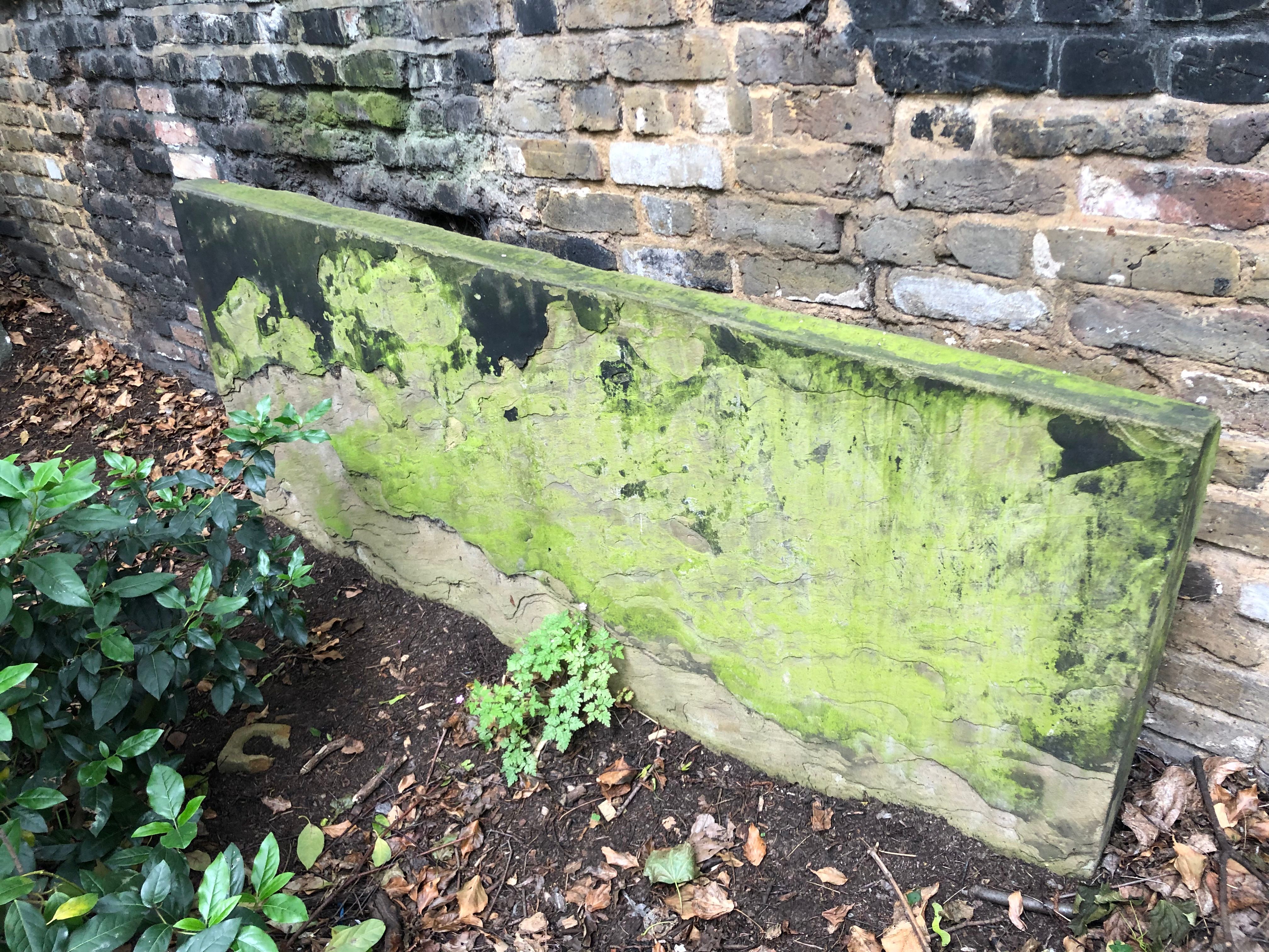
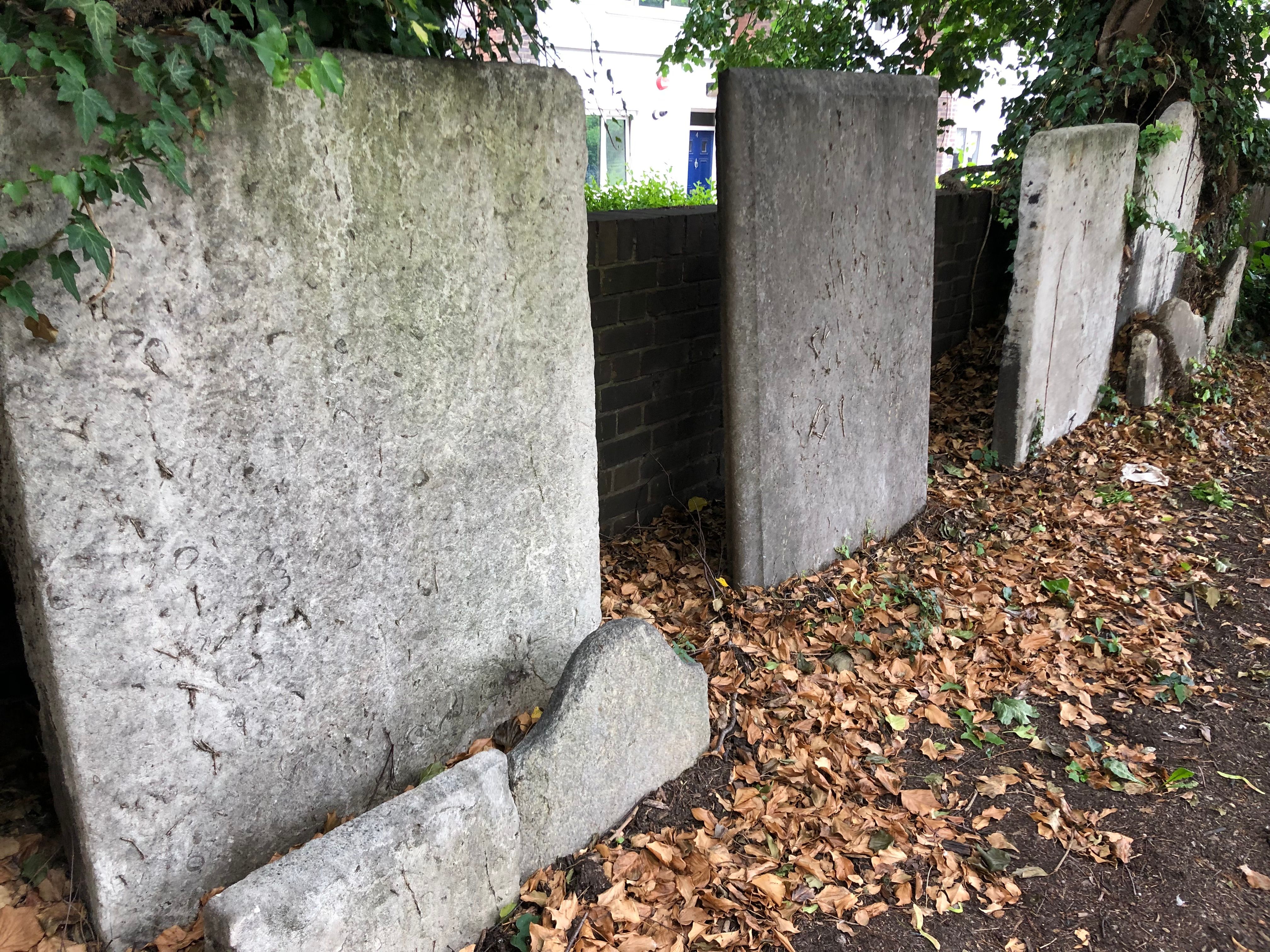
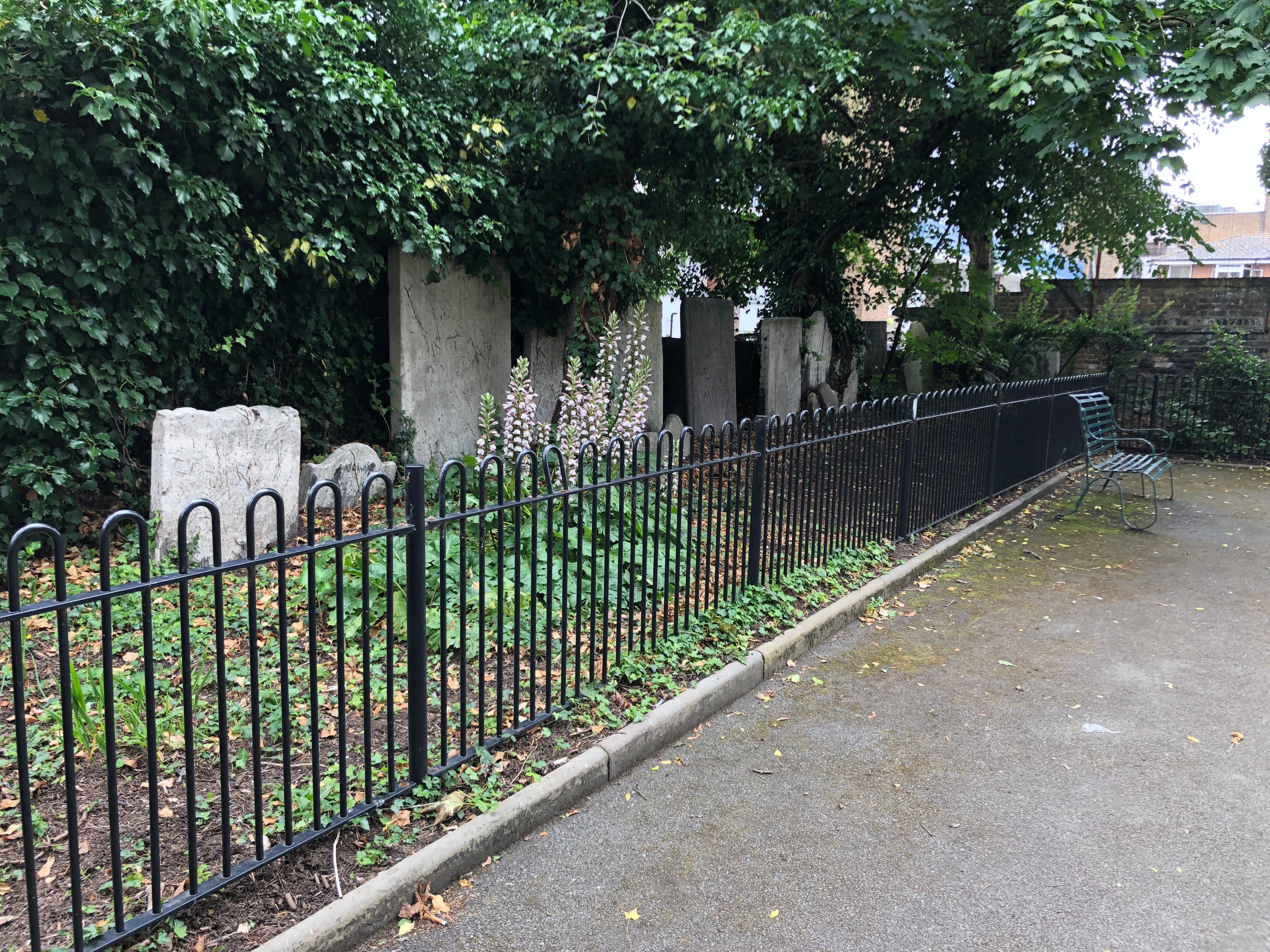
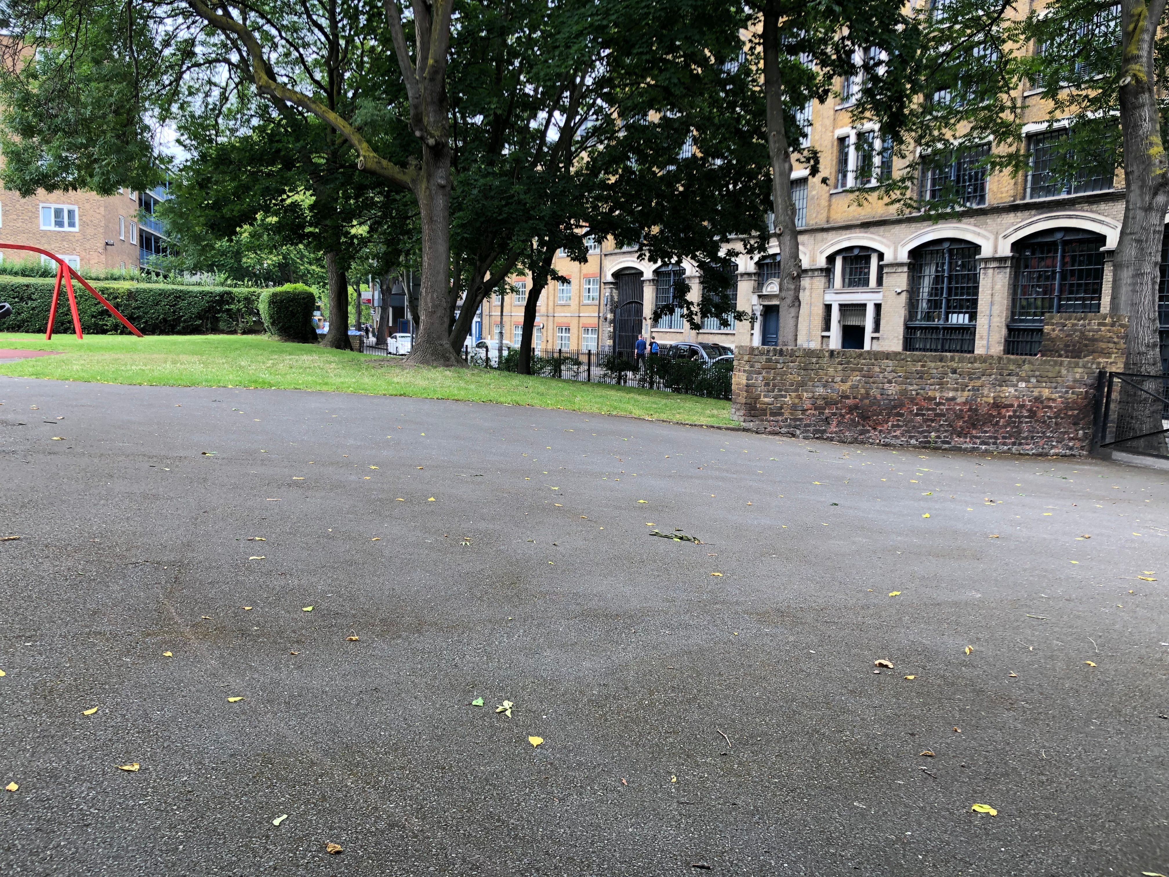
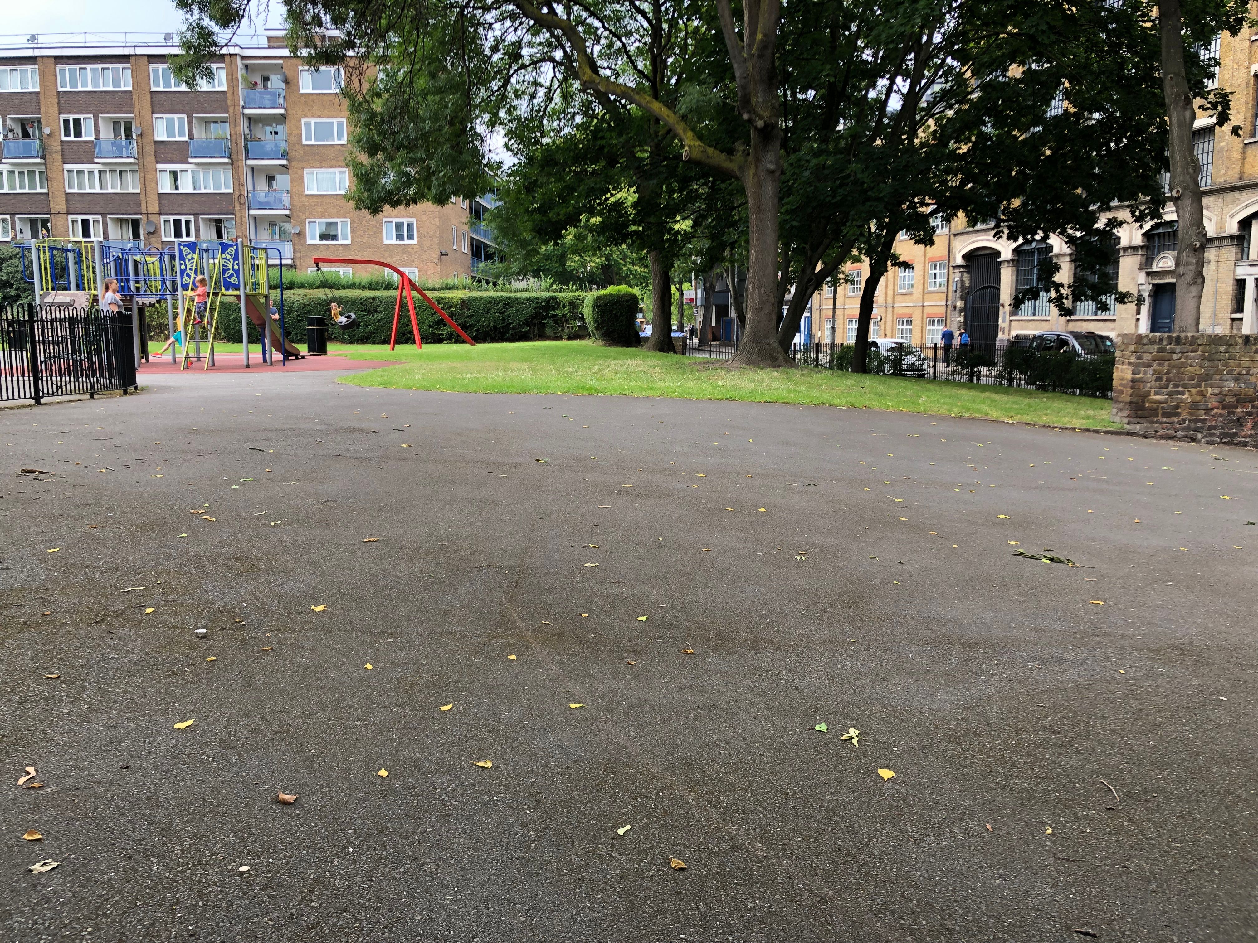
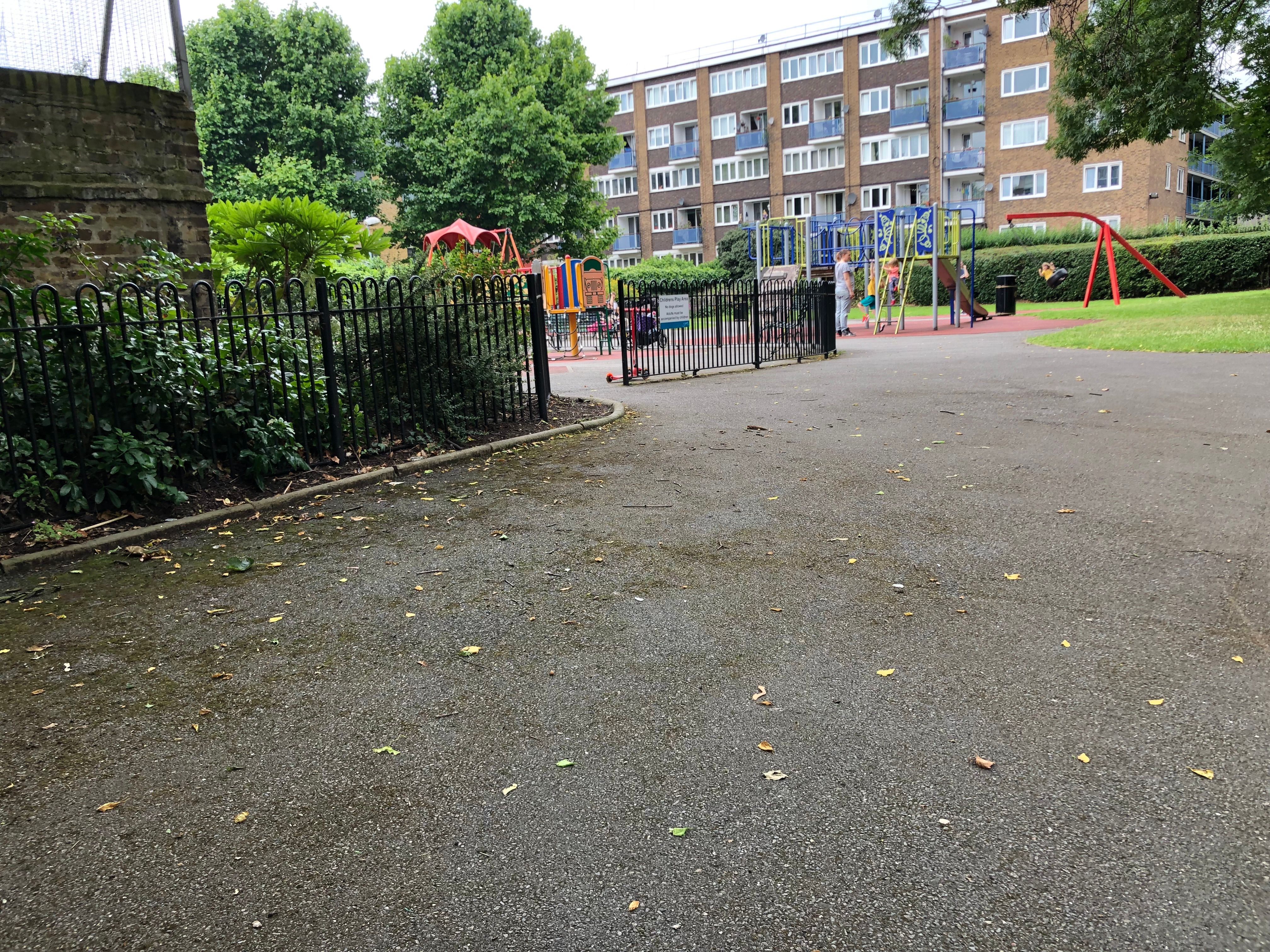
| Description | : | The Long Lane Friends Burial Ground was established in 1697 and fell into disuse by 1799. It was converted to a playground in 1896. The site is presently covered by asphalt. |
frequently asked questions (FAQ):
-
Where is Long Lane Friends Burial Ground?
Long Lane Friends Burial Ground is located at south side of Long Lane near Bermondsey Street Southwark, London Borough of Southwark ,Greater London ,England.
-
Long Lane Friends Burial Ground cemetery's updated grave count on graveviews.com?
130 memorials
-
Where are the coordinates of the Long Lane Friends Burial Ground?
Latitude: 51.4978590
Longitude: -0.0825360
Nearby Cemetories:
1. St. Mary Magdalene
Bermondsey, London Borough of Southwark, England
Coordinate: 51.4983920, -0.0807240
2. Guy's Hospital Chapel and Burial Ground
Southwark, London Borough of Southwark, England
Coordinate: 51.5016230, -0.0863980
3. Butler's Burial Ground
Southwark, London Borough of Southwark, England
Coordinate: 51.5010020, -0.0766250
4. St. John's Churchyard (Defunct)
Southwark, London Borough of Southwark, England
Coordinate: 51.5024320, -0.0786460
5. Maze Pond Baptist Chapel Burial Ground
Southwark, London Borough of Southwark, England
Coordinate: 51.5034850, -0.0862760
6. St George the Martyr Churchyard
Southwark, London Borough of Southwark, England
Coordinate: 51.5012000, -0.0926700
7. Colliers Rents Congregational Chapel
Southwark, London Borough of Southwark, England
Coordinate: 51.5042800, -0.0890700
8. St. Margaret Churchyard
Southwark, London Borough of Southwark, England
Coordinate: 51.5044900, -0.0907270
9. Horsemonger Lane Gaol Cemetery
Southwark, London Borough of Southwark, England
Coordinate: 51.4977000, -0.0960000
10. St. Saviour's Almshouses Cemetery
Southwark, London Borough of Southwark, England
Coordinate: 51.5051460, -0.0914880
11. Crossbones Cemetery
Southwark, London Borough of Southwark, England
Coordinate: 51.5041500, -0.0933730
12. Southwark Cathedral
Southwark, London Borough of Southwark, England
Coordinate: 51.5061417, -0.0895970
13. St. James' Churchyard
Bermondsey, London Borough of Southwark, England
Coordinate: 51.4970350, -0.0668320
14. Deadman's Place Burial Ground
Southwark, London Borough of Southwark, England
Coordinate: 51.5056040, -0.0944280
15. Baptist Chapel Burial Ground
Southwark, London Borough of Southwark, England
Coordinate: 51.5027900, -0.0978580
16. St. Katharine’s by the Tower Churchyard
London Borough of Tower Hamlets, England
Coordinate: 51.5071550, -0.0725960
17. Chapel of Saint Peter-ad-Vincula
London Borough of Tower Hamlets, England
Coordinate: 51.5085335, -0.0769200
18. St. Magnus the Martyr Churchyard
London, City of London, England
Coordinate: 51.5092500, -0.0862880
19. All Hallows by the Tower Churchyard
London, City of London, England
Coordinate: 51.5093600, -0.0794020
20. St. Dunstan-in-the-East Churchyard
London, City of London, England
Coordinate: 51.5096540, -0.0824830
21. St Botolph Billingsgate Churchyard (Defunct)
London, City of London, England
Coordinate: 51.5096860, -0.0847310
22. Tower Hill Memorial
London Borough of Tower Hamlets, England
Coordinate: 51.5096016, -0.0777000
23. Ewer Street Burial Ground
Southwark, London Borough of Southwark, England
Coordinate: 51.5045560, -0.0990240
24. St. Mary-at-Hill Churchyard
Billingsgate, City of London, England
Coordinate: 51.5101050, -0.0836680