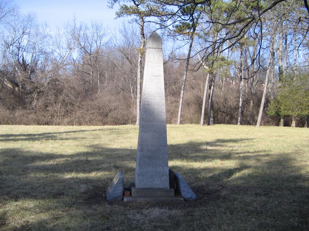
| Memorials | : | 948 |
| Location | : | Roselawn, Hamilton County, USA |
| Phone | : | (513) 948-3600 |
| Coordinate | : | 39.1887730, -84.4691660 |
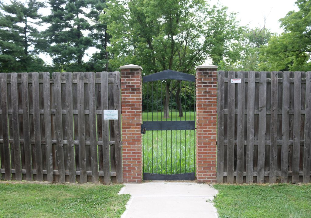
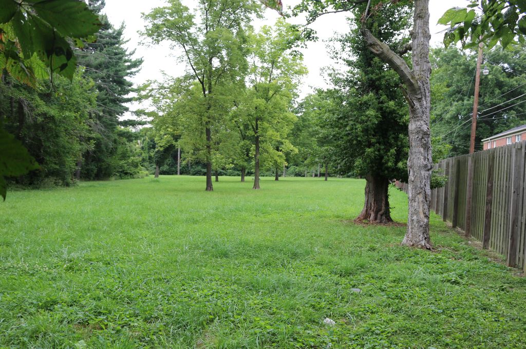
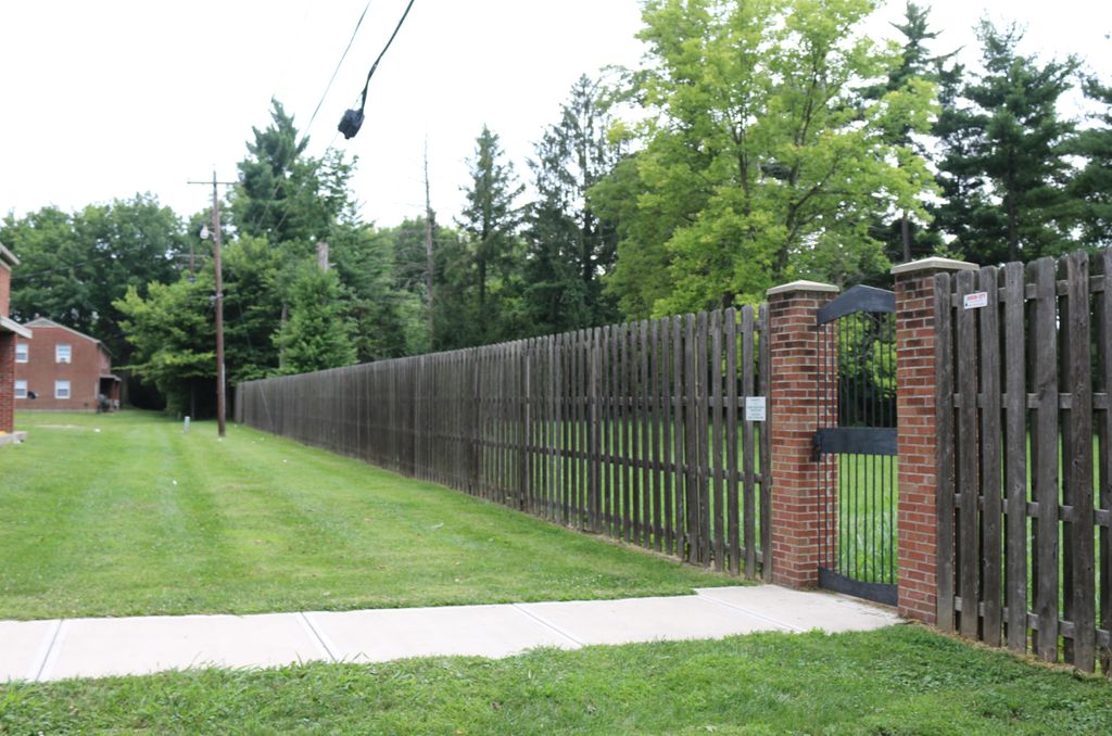
| Description | : | The cemetery is currently owned by the Ohio Department of Mental Health. Admission to the cemetery is only with the approval of the CEO of Summit Behavioral Healthcare. To request permission, contact: CEO Summit Behavioral Healthcare 101 Summit Road Cincinnati, Ohio 45237 (513) 948-3600 To get to the cemetery, turn off Seymour Avenue into Glenmeadow Lane. A series of apartment buildings line the street on either side. The buildings are arranged in “U”s. A sidewalk exists from the parking area of the third “U” on the right side of the street. The sidewalk goes around behind the building to the locked gate of the cemetery. The... Read More |
frequently asked questions (FAQ):
-
Where is Longview Hospital Cemetery?
Longview Hospital Cemetery is located at 7076 Glenmeadow Lane Roselawn, Hamilton County ,Ohio , 45237USA.
-
Longview Hospital Cemetery cemetery's updated grave count on graveviews.com?
62 memorials
-
Where are the coordinates of the Longview Hospital Cemetery?
Latitude: 39.1887730
Longitude: -84.4691660
Nearby Cemetories:
1. Griffins Station Cemetery
Carthage, Hamilton County, USA
Coordinate: 39.2047000, -84.4770730
2. City Infirmary Cemetery
Hartwell, Hamilton County, USA
Coordinate: 39.2123500, -84.4806700
3. Saint Mary Cemetery
Saint Bernard, Hamilton County, USA
Coordinate: 39.1664009, -84.4880981
4. Pleasant Ridge Presbyterian Cemetery
Pleasant Ridge, Hamilton County, USA
Coordinate: 39.1794014, -84.4332962
5. Convent of the Good Shepherd Cemetery (Defunct)
Carthage, Hamilton County, USA
Coordinate: 39.2055250, -84.5042780
6. Saint Clare Convent Cemetery
Mount Healthy, Hamilton County, USA
Coordinate: 39.2206750, -84.4782390
7. All Saints Episcopal Church Memorial Garden
Pleasant Ridge, Hamilton County, USA
Coordinate: 39.1856910, -84.4241000
8. Saint John Cemetery
Saint Bernard, Hamilton County, USA
Coordinate: 39.1643982, -84.5053024
9. Old Finneytown Cemetery
Finneytown, Hamilton County, USA
Coordinate: 39.1962220, -84.5206120
10. First German Protestant Cemetery
Avondale, Hamilton County, USA
Coordinate: 39.1492004, -84.4863968
11. Voorhees Family Burying Ground
Lockland, Hamilton County, USA
Coordinate: 39.2296982, -84.4480972
12. Sisters of Notre Dame Cemetery
Reading, Hamilton County, USA
Coordinate: 39.2219009, -84.4297028
13. Saints Peter and Paul Old Cemetery
Reading, Hamilton County, USA
Coordinate: 39.2218000, -84.4291800
14. Reading Cemetery
Reading, Hamilton County, USA
Coordinate: 39.2296982, -84.4419022
15. Spring Grove Cemetery
Cincinnati, Hamilton County, USA
Coordinate: 39.1647900, -84.5231500
16. Vine Street Hill Cemetery
Cincinnati, Hamilton County, USA
Coordinate: 39.1516991, -84.5091019
17. United American Cemetery
Madisonville, Hamilton County, USA
Coordinate: 39.1660995, -84.4139023
18. Calvary Cemetery
Cincinnati, Hamilton County, USA
Coordinate: 39.1403008, -84.4697037
19. Walnut Hills Jewish Cemetery
Evanston, Hamilton County, USA
Coordinate: 39.1403700, -84.4731300
20. Fulton Cemetery
Hyde Park, Hamilton County, USA
Coordinate: 39.1406364, -84.4506302
21. Beech Grove Cemetery
Springfield Township, Hamilton County, USA
Coordinate: 39.2364006, -84.4916992
22. Saints Peter And Paul Cemetery
Reading, Hamilton County, USA
Coordinate: 39.2308006, -84.4313965
23. Duck Creek Baptist Church Cemetery
Madisonville, Hamilton County, USA
Coordinate: 39.1652718, -84.4079132
24. Walnut Hills Cemetery
Cincinnati, Hamilton County, USA
Coordinate: 39.1355950, -84.4809040

