| Memorials | : | 7765 |
| Location | : | Cincinnati, Hamilton County, USA |
| Phone | : | (513) 281-1035 |
| Website | : | www.vinestreethillcemetery.net |
| Coordinate | : | 39.1516991, -84.5091019 |
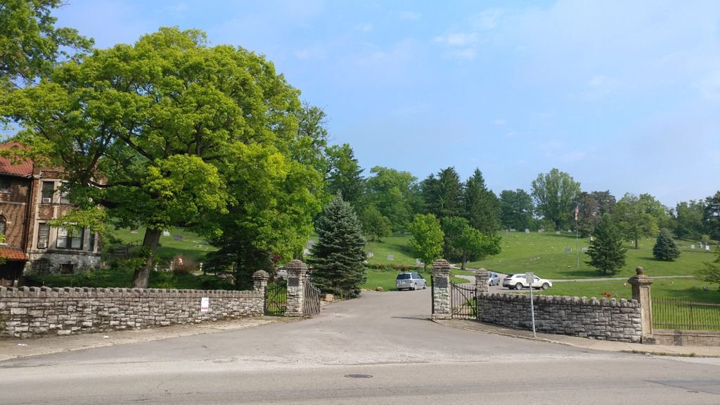
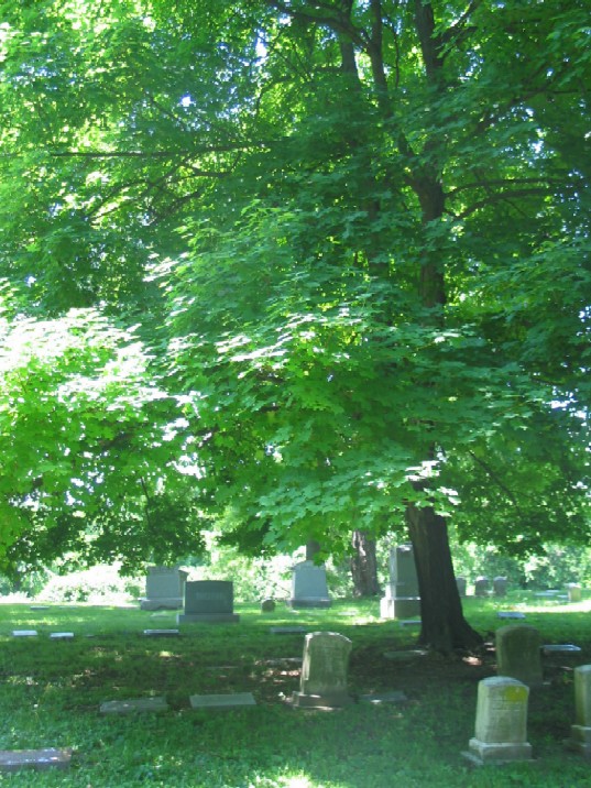
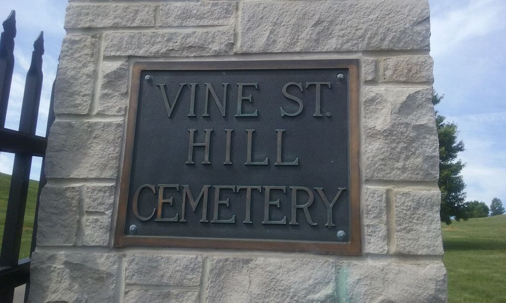
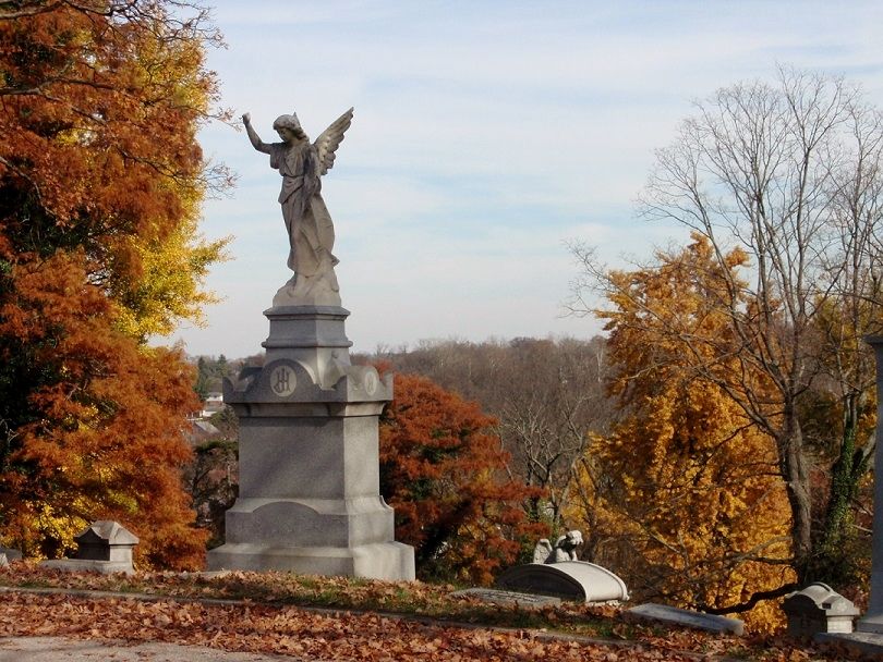
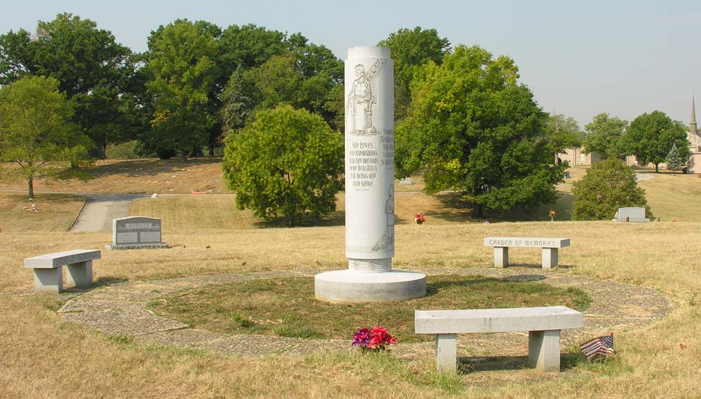
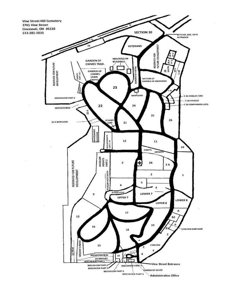
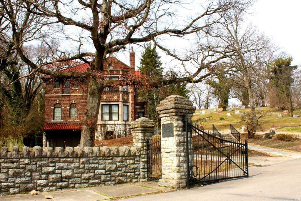
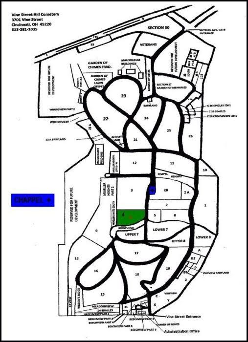
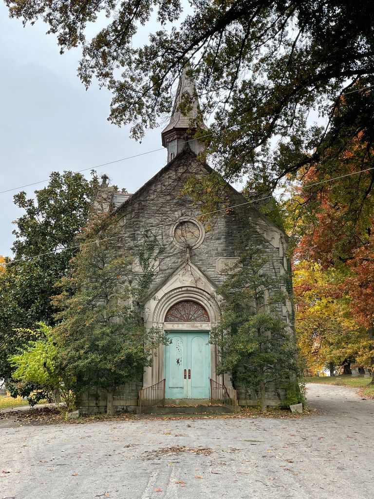
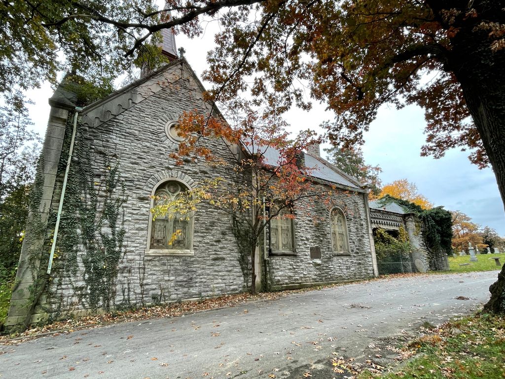
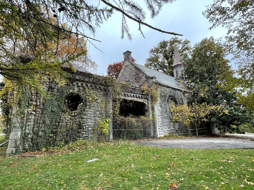
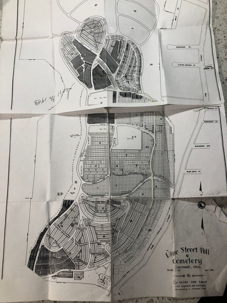
| Description | : | In 1849 the Vine Street Hill Cemetery was founded in Cincinnati as the German Evangelical Protestant Cemetery on Carthage Road. The original name was soon shortened to the Carthage Road Cemetery. After the road’s name was changed to Vine Street and the cemetery was annexed by the City of Cincinnati, the cemetery’s name was changed to Vine Street Hill. The cemetery is part of the National Register of Historic Places. The cemetery’s architects were George and August Brink who designed the cemetery’s famous chapel in a Romanesque Revival style. The large cemetery is... Read More |
frequently asked questions (FAQ):
-
Where is Vine Street Hill Cemetery?
Vine Street Hill Cemetery is located at 3701 Vine St Cincinnati, Hamilton County ,Ohio , 45220USA.
-
Vine Street Hill Cemetery cemetery's updated grave count on graveviews.com?
7677 memorials
-
Where are the coordinates of the Vine Street Hill Cemetery?
Latitude: 39.1516991
Longitude: -84.5091019
Nearby Cemetories:
1. Saint John Cemetery
Saint Bernard, Hamilton County, USA
Coordinate: 39.1643982, -84.5053024
2. Clifton United Jewish Cemetery
Cincinnati, Hamilton County, USA
Coordinate: 39.1470871, -84.5292816
3. Spring Grove Cemetery
Cincinnati, Hamilton County, USA
Coordinate: 39.1647900, -84.5231500
4. Hillside Chapel Crematory and Columbarium
Cincinnati, Hamilton County, USA
Coordinate: 39.1393509, -84.5247192
5. First German Protestant Cemetery
Avondale, Hamilton County, USA
Coordinate: 39.1492004, -84.4863968
6. Methodist Protestant Cemetery (Defunct)
Cincinnati, Hamilton County, USA
Coordinate: 39.1324770, -84.4983160
7. Saint Mary Cemetery
Saint Bernard, Hamilton County, USA
Coordinate: 39.1664009, -84.4880981
8. Walnut Hills Cemetery
Cincinnati, Hamilton County, USA
Coordinate: 39.1355950, -84.4809040
9. Walnut Hills Jewish Cemetery
Evanston, Hamilton County, USA
Coordinate: 39.1403700, -84.4731300
10. Wesleyan Cemetery
Cincinnati, Hamilton County, USA
Coordinate: 39.1599998, -84.5468979
11. Calvary Cemetery
Cincinnati, Hamilton County, USA
Coordinate: 39.1403008, -84.4697037
12. Third Quaker Cemetery (Defunct)
Cincinnati, Hamilton County, USA
Coordinate: 39.1542400, -84.5523720
13. Christ Church Cemetery
Over-The-Rhine, Hamilton County, USA
Coordinate: 39.1126480, -84.5157623
14. Second Quaker Cemetery (Defunct)
Cincinnati, Hamilton County, USA
Coordinate: 39.1153090, -84.5305240
15. Christ Episcopal Churchyard (Defunct)
Cincinnati, Hamilton County, USA
Coordinate: 39.1100520, -84.5177220
16. Potters Field
Cincinnati, Hamilton County, USA
Coordinate: 39.1094440, -84.5188890
17. Thomas Williams Cemetery (Defunct)
Cincinnati, Hamilton County, USA
Coordinate: 39.1085060, -84.5146050
18. Presbyterian Burying Ground
Cincinnati, Hamilton County, USA
Coordinate: 39.1082510, -84.5175720
19. Old Finneytown Cemetery
Finneytown, Hamilton County, USA
Coordinate: 39.1962220, -84.5206120
20. Chestnut Street Cemetery
Over-The-Rhine, Hamilton County, USA
Coordinate: 39.1071610, -84.5212210
21. Lincoln Park Potters Field (Defunct)
Cincinnati, Hamilton County, USA
Coordinate: 39.1097710, -84.5346450
22. Enon Baptist Church Burying Ground (Defunct)
Cincinnati, Hamilton County, USA
Coordinate: 39.1065420, -84.5238110
23. Catherine Street Burying Ground
Cincinnati, Hamilton County, USA
Coordinate: 39.1067490, -84.5252700
24. Fulton Cemetery
Hyde Park, Hamilton County, USA
Coordinate: 39.1406364, -84.4506302

