
| Memorials | : | 0 |
| Location | : | Laurens County, USA |
| Coordinate | : | 32.6481200, -82.7715970 |
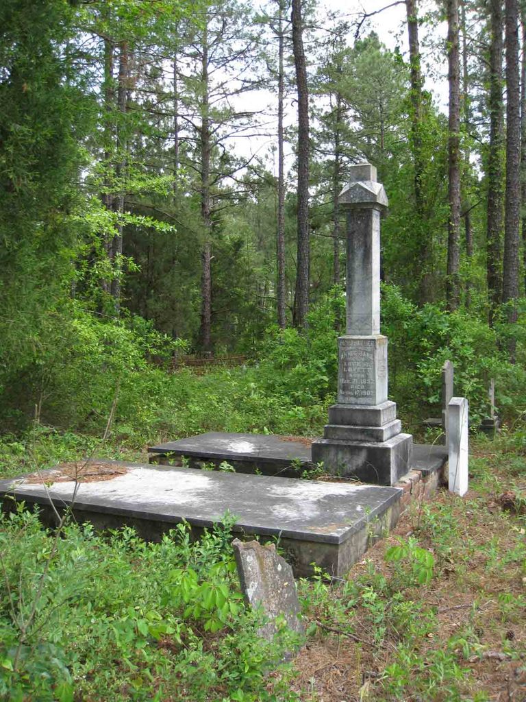
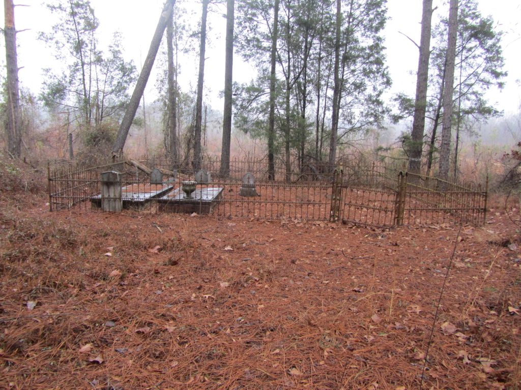
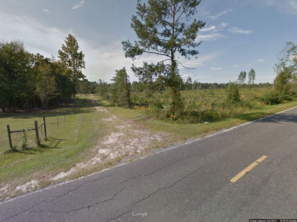
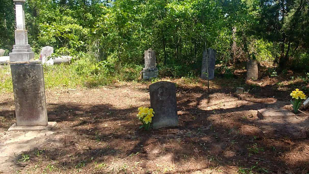
| Description | : | From "Old Cemeteries in Laurens County Georgia" presented by the John Laurens Chapter of the DAR. "Lovett Methodist Church was orgainzed between the years from 1870 and 1875. It was orginally built about one mile from Lovett, Georgia which is in Laurens County, almost mid-way between the towns of Dublin and Wrightsville. At the time the Church was called Pre Domina. It remained at the orginal location for a number of years. In the year of 1899,a site was obtained and the Church was moved to Lovett, Georgia, which by this time had dveloped into quite a nice little town.... Read More |
frequently asked questions (FAQ):
-
Where is Lovett Cemetery?
Lovett Cemetery is located at Laurens County ,Georgia ,USA.
-
Lovett Cemetery cemetery's updated grave count on graveviews.com?
0 memorials
-
Where are the coordinates of the Lovett Cemetery?
Latitude: 32.6481200
Longitude: -82.7715970
Nearby Cemetories:
1. Brown's Chapel Missionary Cemetery
East Dublin, Laurens County, USA
Coordinate: 32.6418970, -82.7788520
2. Union Grove Church Cemetery
Spann, Johnson County, USA
Coordinate: 32.6429405, -82.7387466
3. Mount Pullen A.M.E. Cemetery
Laurens County, USA
Coordinate: 32.6383250, -82.8035430
4. Boiling Springs Methodist Church Cemetery
Dublin, Laurens County, USA
Coordinate: 32.6355500, -82.8097800
5. Mount Green Baptist Church Cemetery
East Dublin, Laurens County, USA
Coordinate: 32.6141800, -82.7810400
6. Brazeal Church Cemetery
Laurens County, USA
Coordinate: 32.6140340, -82.7813390
7. Pinehill Holiness Church Cemetery
Wrightsville, Johnson County, USA
Coordinate: 32.6665800, -82.7313620
8. Carter Cemetery
Spann, Johnson County, USA
Coordinate: 32.6385710, -82.7262030
9. Brantley Chapel Church Cemetery
Wrightsville, Johnson County, USA
Coordinate: 32.6779300, -82.7384700
10. Lovett Grove Community Baptist Church Cemetery
Wrightsville, Johnson County, USA
Coordinate: 32.6800750, -82.7399620
11. Pleasant Grove Baptist Church Cemetery
Wrightsville, Johnson County, USA
Coordinate: 32.6900690, -82.7841220
12. Mitchell Grove Baptist Church Cemetery
Wrightsville, Johnson County, USA
Coordinate: 32.6987990, -82.7770830
13. Piney Mount Cemetery
Wrightsville, Johnson County, USA
Coordinate: 32.6459300, -82.7100340
14. Maddux-Gordy Cemetery
East Dublin, Laurens County, USA
Coordinate: 32.6079630, -82.8139880
15. Williams Cemetery
Johnson County, USA
Coordinate: 32.7024994, -82.7966995
16. Brewton Cemetery
Laurens County, USA
Coordinate: 32.5896988, -82.7956009
17. Thomas Chapel Methodist Church Cemetery
Dublin, Laurens County, USA
Coordinate: 32.6071360, -82.7139700
18. Galilee Church Cemetery
Wrightsville, Johnson County, USA
Coordinate: 32.7059010, -82.7299100
19. Sumner-Anthony Cemetery
Wrightsville, Johnson County, USA
Coordinate: 32.7034264, -82.7170105
20. Church Of Jesus Cemetery
East Dublin, Laurens County, USA
Coordinate: 32.5861310, -82.8162330
21. Walker Cemetery
Wrightsville, Johnson County, USA
Coordinate: 32.7130300, -82.8110400
22. Community Missionary Baptist Church Cemetery
Wrightsville, Johnson County, USA
Coordinate: 32.7030550, -82.7140480
23. Harriett Carter Cemetery
Wrightsville, Johnson County, USA
Coordinate: 32.6549750, -82.6830800
24. Maddux Cemetery
Wrightsville, Johnson County, USA
Coordinate: 32.7242610, -82.7768500