
| Memorials | : | 0 |
| Location | : | Wrightsville, Johnson County, USA |
| Coordinate | : | 32.7242610, -82.7768500 |
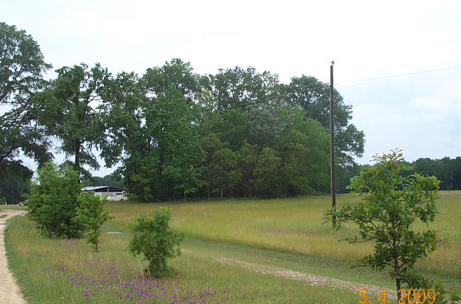
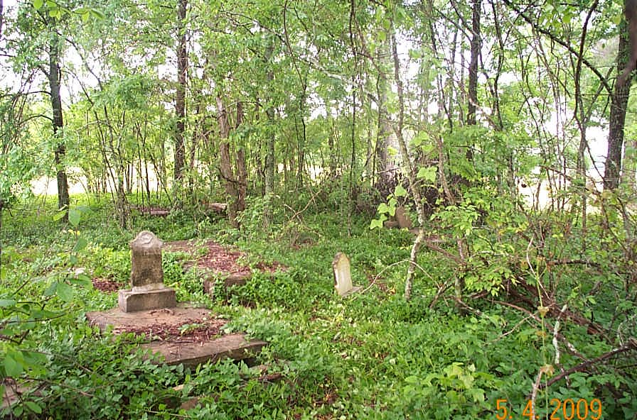
| Description | : | Cemetery is located approximately 3.5 miles west of Wrightsville GA on Hwy 57 and one mile south on Tucker Grove Church Road at white pickett fence, 1/2 mile to the east and approximately 40 yards south of a pond in a clump of trees to the right of the unpaved driveway. There are 23 known individuals buried in the Maddux Cemetery with 17 identified in "View all interments". This survey located 19 graves leaving 4 grave locations missing. Of the 19 located graves, 8 were identified, 5 were presumed to be known and 7 were unknown. The final count is the... Read More |
frequently asked questions (FAQ):
-
Where is Maddux Cemetery?
Maddux Cemetery is located at 1996 Tucker Grove Church Road Wrightsville, Johnson County ,Georgia , 31096USA.
-
Maddux Cemetery cemetery's updated grave count on graveviews.com?
0 memorials
-
Where are the coordinates of the Maddux Cemetery?
Latitude: 32.7242610
Longitude: -82.7768500
Nearby Cemetories:
1. John M. Raines Cemetery
Wrightsville, Johnson County, USA
Coordinate: 32.7416590, -82.7732390
2. McAfee Family Cemetery
Johnson County, USA
Coordinate: 32.7463270, -82.7838510
3. Price Parker Cemetery
Wrightsville, Johnson County, USA
Coordinate: 32.7486200, -82.7710400
4. Mitchell Grove Baptist Church Cemetery
Wrightsville, Johnson County, USA
Coordinate: 32.6987990, -82.7770830
5. Williams Cemetery
Johnson County, USA
Coordinate: 32.7024994, -82.7966995
6. Walker Cemetery
Wrightsville, Johnson County, USA
Coordinate: 32.7130300, -82.8110400
7. Vickers Hill Baptist Church Cemetery
Wrightsville, Johnson County, USA
Coordinate: 32.7509940, -82.7570824
8. Pleasant Grove Baptist Church Cemetery
Wrightsville, Johnson County, USA
Coordinate: 32.6900690, -82.7841220
9. Dent Cemetery
Johnson County, USA
Coordinate: 32.7275009, -82.8189011
10. West View Cemetery
Wrightsville, Johnson County, USA
Coordinate: 32.7310982, -82.7319031
11. Price-Knight Cemetery
Johnson County, USA
Coordinate: 32.7602220, -82.7970040
12. U. R. Jenkins Cemetery
Wrightsville, Johnson County, USA
Coordinate: 32.7667780, -82.7777660
13. Galilee Church Cemetery
Wrightsville, Johnson County, USA
Coordinate: 32.7059010, -82.7299100
14. Old Dent Cemetery
Wrightsville, Johnson County, USA
Coordinate: 32.7150500, -82.8290500
15. Mount Pleasant AME Church Cemetery
Wrightsville, Johnson County, USA
Coordinate: 32.7561070, -82.8167000
16. Home Circle Cemetery
Wrightsville, Johnson County, USA
Coordinate: 32.7358670, -82.7164980
17. Abattoir Cemetery
Wrightsville, Johnson County, USA
Coordinate: 32.7341700, -82.7157100
18. Lovett Grove Community Baptist Church Cemetery
Wrightsville, Johnson County, USA
Coordinate: 32.6800750, -82.7399620
19. Sumner-Anthony Cemetery
Wrightsville, Johnson County, USA
Coordinate: 32.7034264, -82.7170105
20. Brantley Chapel Church Cemetery
Wrightsville, Johnson County, USA
Coordinate: 32.6779300, -82.7384700
21. Community Missionary Baptist Church Cemetery
Wrightsville, Johnson County, USA
Coordinate: 32.7030550, -82.7140480
22. Bethel Methodist Church Cemetery
Wrightsville, Johnson County, USA
Coordinate: 32.7582110, -82.8327670
23. Pine Grove AME Church Cemetery
Donovan, Johnson County, USA
Coordinate: 32.7698610, -82.7221440
24. Pinehill Holiness Church Cemetery
Wrightsville, Johnson County, USA
Coordinate: 32.6665800, -82.7313620