
| Memorials | : | 0 |
| Location | : | Mercier, Brown County, USA |
| Coordinate | : | 39.7250500, -95.6000710 |
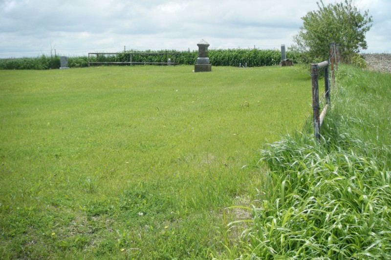
| Description | : | 1.2 miles north of Mercier, KS. On the southeast corner of Horned Owl Road and 150th St. Across the road from St. Peters Catholic Cemetery. Not marked. |
frequently asked questions (FAQ):
-
Where is Lutheran Cemetery?
Lutheran Cemetery is located at Mercier, Brown County ,Kansas ,USA.
-
Lutheran Cemetery cemetery's updated grave count on graveviews.com?
0 memorials
-
Where are the coordinates of the Lutheran Cemetery?
Latitude: 39.7250500
Longitude: -95.6000710
Nearby Cemetories:
1. Saint Peters Cemetery
Mercier, Brown County, USA
Coordinate: 39.7247009, -95.6016998
2. Powhattan Cemetery
Powhattan, Brown County, USA
Coordinate: 39.7681007, -95.6288986
3. Kennekuk Church Cemetery
Horton, Brown County, USA
Coordinate: 39.7074600, -95.6672300
4. Jessepe Indian Cemetery
Horton, Brown County, USA
Coordinate: 39.6715000, -95.6438000
5. Grant-Mjessepe Cemetery
Horton, Brown County, USA
Coordinate: 39.6663000, -95.6576000
6. Grasshopper Burial Ground
Powhattan Township, Brown County, USA
Coordinate: 39.7578020, -95.6949820
7. Wheatland Cemetery
Atchison County, USA
Coordinate: 39.6453018, -95.5633011
8. Claytonville Cemetery
Horton, Brown County, USA
Coordinate: 39.7766991, -95.5046997
9. Horton Cemetery
Horton, Brown County, USA
Coordinate: 39.6573982, -95.5126419
10. Bemis Cemetery
Hiawatha, Brown County, USA
Coordinate: 39.8194900, -95.5668300
11. Saint Leos Catholic Cemetery
Horton, Brown County, USA
Coordinate: 39.6667595, -95.4889603
12. Comet Cemetery
Powhattan Township, Brown County, USA
Coordinate: 39.7542600, -95.7340400
13. Kennekuk Cemetery
Horton, Brown County, USA
Coordinate: 39.6533012, -95.4875031
14. Carr Cemetery
Everest, Brown County, USA
Coordinate: 39.7254600, -95.4521600
15. All Saints Cemetery
Everest, Brown County, USA
Coordinate: 39.7008018, -95.4507980
16. Spring Hill Cemetery
Whiting, Jackson County, USA
Coordinate: 39.6021996, -95.6121979
17. Zion Lutheran Church Cemetery
Everest, Brown County, USA
Coordinate: 39.7290611, -95.4336777
18. Pleasant Hill Cemetery
Fairview, Brown County, USA
Coordinate: 39.8411800, -95.6716400
19. South Powhattan Cemetery
Powhattan, Brown County, USA
Coordinate: 39.6608009, -95.7596970
20. Mount Hope Cemetery
Hiawatha, Brown County, USA
Coordinate: 39.8497009, -95.5156021
21. Tyler Cemetery
Fairview, Brown County, USA
Coordinate: 39.8119300, -95.7483200
22. Saint Paul Lutheran Cemetery
Fairview, Brown County, USA
Coordinate: 39.8559700, -95.6779700
23. Madison Cemetery
Robinson, Brown County, USA
Coordinate: 39.7717700, -95.4201700
24. Hiawatha Cemetery
Hiawatha, Brown County, USA
Coordinate: 39.8601799, -95.5265198