
| Memorials | : | 1 |
| Location | : | Sugar Creek, Jackson County, USA |
| Coordinate | : | 39.1511002, -94.4002991 |
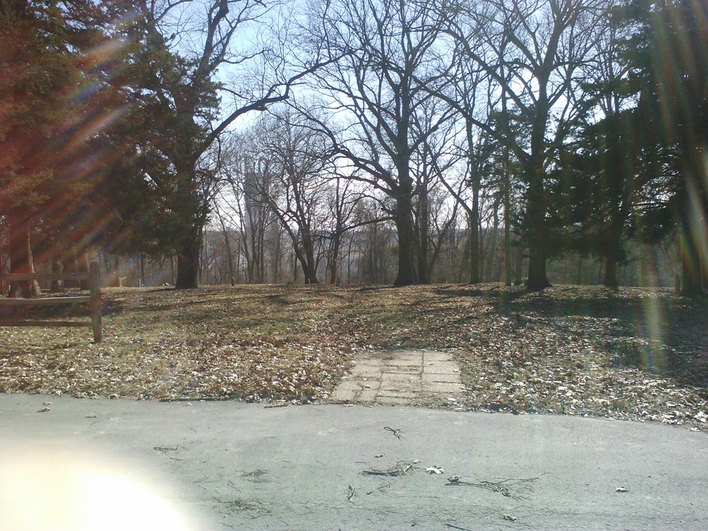
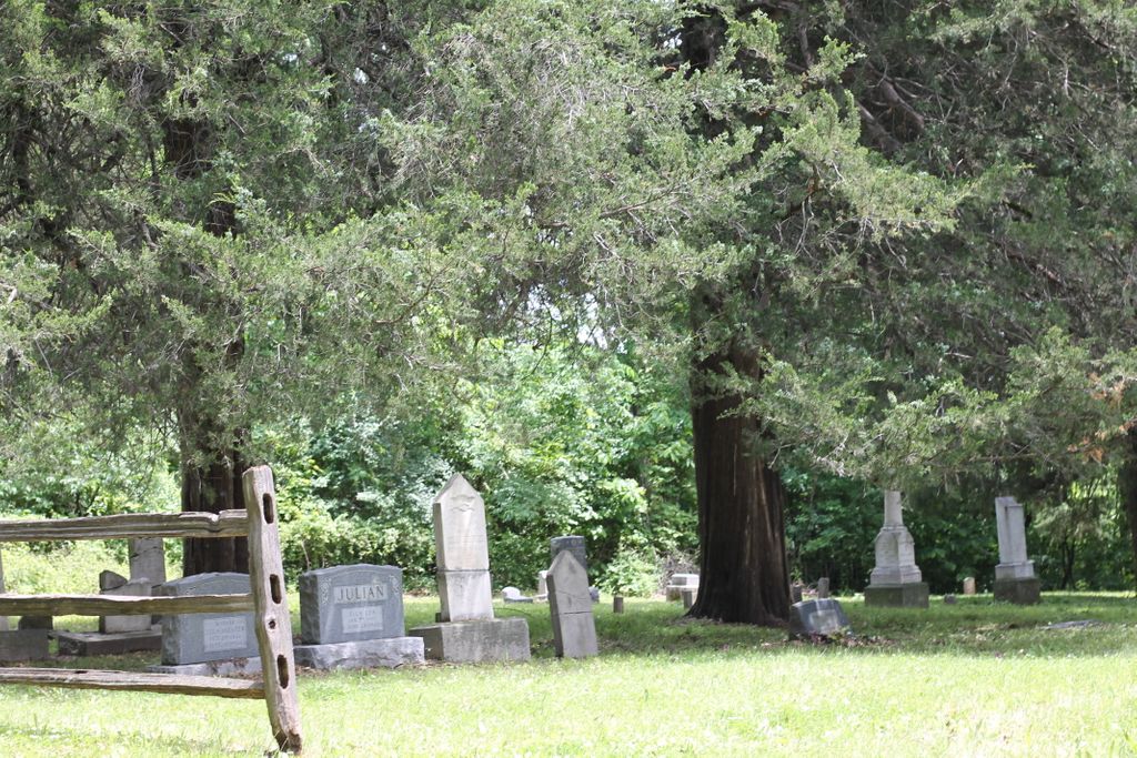
| Description | : | This very old cemetery was vandalized many times over the years; stones were smashed, and some graves were dug up. But thanks to the efforts of a local business, and other interested community groups, the road has been repaired, and the cemetery has been restored (though there are still many unmarked graves, the history of some, which I am sorry to say are now most likely lost forever). (Provided by Harold G. Richards (47091261)) |
frequently asked questions (FAQ):
-
Where is Mann Cemetery?
Mann Cemetery is located at Sugar Creek, Jackson County ,Missouri ,USA.
-
Mann Cemetery cemetery's updated grave count on graveviews.com?
0 memorials
-
Where are the coordinates of the Mann Cemetery?
Latitude: 39.1511002
Longitude: -94.4002991
Nearby Cemetories:
1. Smiley Cemetery
Sugar Creek, Jackson County, USA
Coordinate: 39.1411000, -94.3941900
2. Long Cemetery
Independence, Jackson County, USA
Coordinate: 39.1284700, -94.4097700
3. Tucker Cemetery
Independence, Jackson County, USA
Coordinate: 39.1224300, -94.4021600
4. Staples Family Cemetery
East Independence, Jackson County, USA
Coordinate: 39.1201400, -94.3797800
5. Lewis-Gregg Cemetery
Independence, Jackson County, USA
Coordinate: 39.1454700, -94.3467400
6. Mound Grove Cemetery
Independence, Jackson County, USA
Coordinate: 39.1128006, -94.4281006
7. Hedrick Cemetery
Independence, Jackson County, USA
Coordinate: 39.1072006, -94.3914032
8. Salem Cemetery
Independence, Jackson County, USA
Coordinate: 39.1354408, -94.3395386
9. New Salem Funeral Home and Cemetery
Independence, Jackson County, USA
Coordinate: 39.1360016, -94.3386993
10. Minneville Cemetery
Minaville, Clay County, USA
Coordinate: 39.1671906, -94.4616928
11. Harry S. Truman Library and Museum
Independence, Jackson County, USA
Coordinate: 39.1035200, -94.4213900
12. Oak Ridge Memory Gardens
Independence, Jackson County, USA
Coordinate: 39.1046982, -94.3638992
13. Jones Cemetery
Atherton, Jackson County, USA
Coordinate: 39.1621500, -94.3292800
14. Trinity Episcopal Church Columbarium
Independence, Jackson County, USA
Coordinate: 39.0952300, -94.4166400
15. Webb Cemetery
Independence, Jackson County, USA
Coordinate: 39.1138600, -94.3403200
16. Reed Cemetery
Independence, Jackson County, USA
Coordinate: 39.1097400, -94.4593900
17. Rogers-Webb Resurrection Day Cemetery
Independence, Jackson County, USA
Coordinate: 39.1359190, -94.3200220
18. Woodlawn Cemetery
Independence, Jackson County, USA
Coordinate: 39.0856018, -94.4107971
19. Arthur Cemetery
Liberty, Clay County, USA
Coordinate: 39.2083527, -94.4501364
20. Nebo Cemetery
South Liberty, Clay County, USA
Coordinate: 39.2160072, -94.3571701
21. Crowley Cemetery
Kansas City, Clay County, USA
Coordinate: 39.1800003, -94.4897003
22. Rogers Cemetery
Clay County, USA
Coordinate: 39.1805992, -94.4903030
23. Odd Fellows Cemetery
Liberty, Clay County, USA
Coordinate: 39.2294500, -94.4056100
24. Hill Park Cemetery
Independence, Jackson County, USA
Coordinate: 39.0835991, -94.4539032