
| Memorials | : | 0 |
| Location | : | Independence, Jackson County, USA |
| Phone | : | 816-833-1400 |
| Website | : | www.trumanlibrary.org |
| Coordinate | : | 39.1035200, -94.4213900 |
frequently asked questions (FAQ):
-
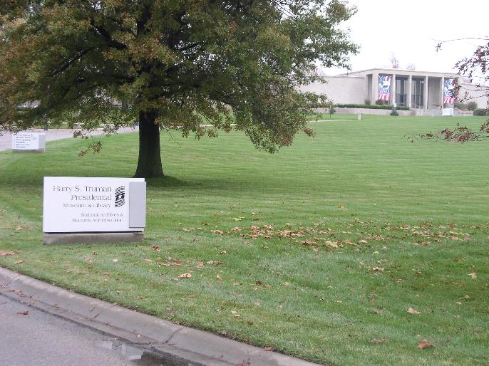
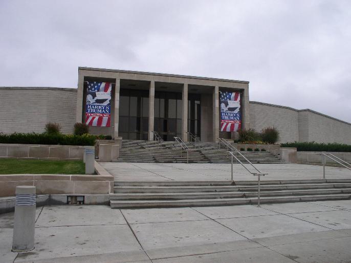
Where is Harry S. Truman Library and Museum?
Harry S. Truman Library and Museum is located at 500 W. US Highway 24 Independence, Jackson County ,Missouri ,USA.
-
Harry S. Truman Library and Museum cemetery's updated grave count on graveviews.com?
0 memorials
-
Where are the coordinates of the Harry S. Truman Library and Museum?
Latitude: 39.1035200
Longitude: -94.4213900
Nearby Cemetories:
1. Trinity Episcopal Church Columbarium
Independence, Jackson County, USA
Coordinate: 39.0952300, -94.4166400
2. Mound Grove Cemetery
Independence, Jackson County, USA
Coordinate: 39.1128006, -94.4281006
3. Woodlawn Cemetery
Independence, Jackson County, USA
Coordinate: 39.0856018, -94.4107971
4. Hedrick Cemetery
Independence, Jackson County, USA
Coordinate: 39.1072006, -94.3914032
5. Tucker Cemetery
Independence, Jackson County, USA
Coordinate: 39.1224300, -94.4021600
6. Long Cemetery
Independence, Jackson County, USA
Coordinate: 39.1284700, -94.4097700
7. Reed Cemetery
Independence, Jackson County, USA
Coordinate: 39.1097400, -94.4593900
8. Hill Park Cemetery
Independence, Jackson County, USA
Coordinate: 39.0835991, -94.4539032
9. Staples Family Cemetery
East Independence, Jackson County, USA
Coordinate: 39.1201400, -94.3797800
10. Mount Washington Cemetery
Independence, Jackson County, USA
Coordinate: 39.0957985, -94.4757996
11. Smiley Cemetery
Sugar Creek, Jackson County, USA
Coordinate: 39.1411000, -94.3941900
12. Oak Ridge Memory Gardens
Independence, Jackson County, USA
Coordinate: 39.1046982, -94.3638992
13. Kehilath Israel Blue Ridge Cemetery
Independence, Jackson County, USA
Coordinate: 39.0875015, -94.4766998
14. Highland Cemetery
Kansas City, Jackson County, USA
Coordinate: 39.0853004, -94.4760971
15. Lincoln Cemetery
Kansas City, Jackson County, USA
Coordinate: 39.0946999, -94.4805984
16. Blue Ridge Lawn Memorial Gardens
Kansas City, Jackson County, USA
Coordinate: 39.0760002, -94.4717026
17. Mann Cemetery
Sugar Creek, Jackson County, USA
Coordinate: 39.1511002, -94.4002991
18. Pitcher Cemetery
Independence, Jackson County, USA
Coordinate: 39.0635986, -94.4702988
19. Luttrell Cemetery
Independence, Jackson County, USA
Coordinate: 39.0504700, -94.3839300
20. Saint Michael's Memorial Garden
Independence, Jackson County, USA
Coordinate: 39.0468200, -94.3877300
21. Webb Cemetery
Independence, Jackson County, USA
Coordinate: 39.1138600, -94.3403200
22. Campground Cemetery
Raytown, Jackson County, USA
Coordinate: 39.0380000, -94.4295700
23. Sheffield Cemetery
Kansas City, Jackson County, USA
Coordinate: 39.1082993, -94.5083008
24. Minneville Cemetery
Minaville, Clay County, USA
Coordinate: 39.1671906, -94.4616928