
| Memorials | : | 2 |
| Location | : | Liberty, Clay County, USA |
| Coordinate | : | 39.2083527, -94.4501364 |
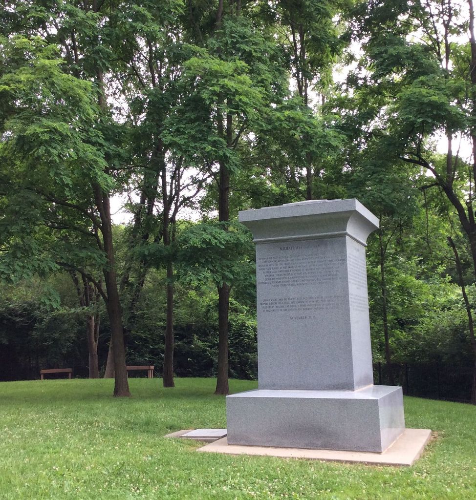
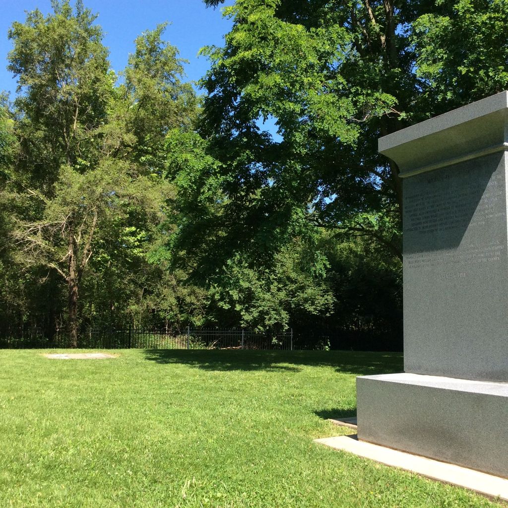
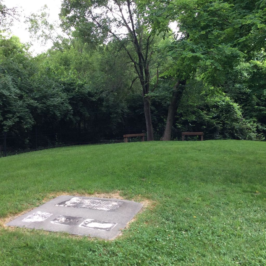
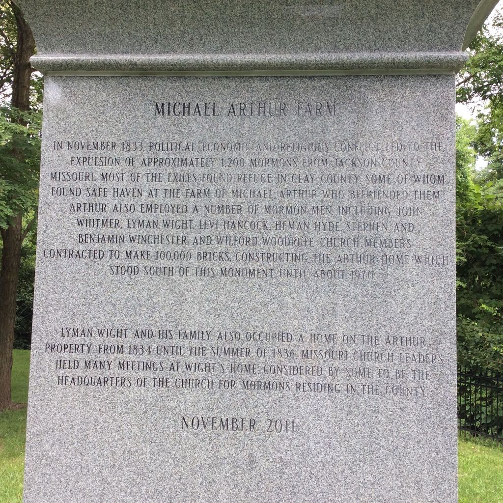
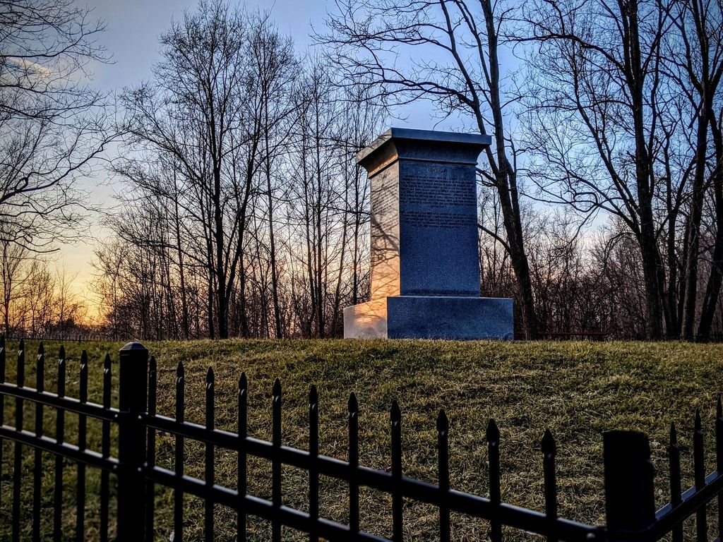
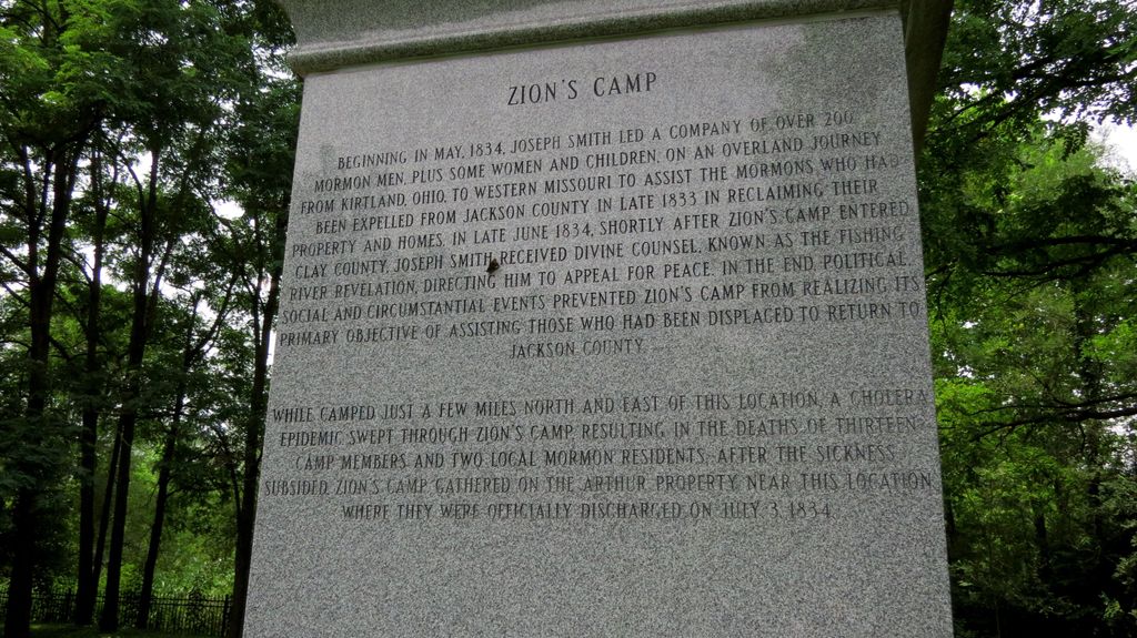
| Description | : | Michael Arthur Farm Cemetery. Also the site of the Testimony of the Eight Witnesses & Zion's Camp Historical Monument. |
frequently asked questions (FAQ):
-
Where is Arthur Cemetery?
Arthur Cemetery is located at 2254 Campbell Drive Liberty, Clay County ,Missouri , 64068USA.
-
Arthur Cemetery cemetery's updated grave count on graveviews.com?
2 memorials
-
Where are the coordinates of the Arthur Cemetery?
Latitude: 39.2083527
Longitude: -94.4501364
Nearby Cemetories:
1. Adkins Family Cemetery
Liberty, Callaway County, USA
Coordinate: 39.2206840, -94.4579870
2. Adkins Family Cemetery
Liberty, Clay County, USA
Coordinate: 39.2206840, -94.4579870
3. Davidson Cemetery
Kansas City, Clay County, USA
Coordinate: 39.2332993, -94.4794006
4. New Hope Cemetery
Liberty, Clay County, USA
Coordinate: 39.2392006, -94.4255981
5. Pence Cemetery
Pleasant Valley, Clay County, USA
Coordinate: 39.2308006, -94.4899979
6. Fairview Cemetery
Liberty, Clay County, USA
Coordinate: 39.2428017, -94.4238968
7. Odd Fellows Cemetery
Liberty, Clay County, USA
Coordinate: 39.2294500, -94.4056100
8. Rogers Cemetery
Clay County, USA
Coordinate: 39.1805992, -94.4903030
9. Crowley Cemetery
Kansas City, Clay County, USA
Coordinate: 39.1800003, -94.4897003
10. Minneville Cemetery
Minaville, Clay County, USA
Coordinate: 39.1671906, -94.4616928
11. McQuiddy Cemetery
Kansas City, Clay County, USA
Coordinate: 39.2504437, -94.4658178
12. McMurry United Methodist Church Columbarium
Kansas City, Clay County, USA
Coordinate: 39.1967380, -94.5066140
13. George Wymore Gravesite
Clay County, USA
Coordinate: 39.2471100, -94.4191200
14. Second Baptist Church Cemetery
Liberty, Clay County, USA
Coordinate: 39.2465860, -94.4172780
15. Mount Memorial Cemetery
Liberty, Clay County, USA
Coordinate: 39.2489014, -94.4123383
16. Fountain Waller Cemetery
Gladstone, Clay County, USA
Coordinate: 39.2078700, -94.5258500
17. New Stark Cemetery
Gladstone, Clay County, USA
Coordinate: 39.2056007, -94.5291977
18. Big Shoal Cemetery
Gladstone, Clay County, USA
Coordinate: 39.2098503, -94.5307312
19. Baker Cemetery
Liberty, Clay County, USA
Coordinate: 39.2678700, -94.4171600
20. Little Shoal Cemetery
Liberty, Clay County, USA
Coordinate: 39.2736015, -94.4646988
21. White Chapel Memorial Gardens
Gladstone, Clay County, USA
Coordinate: 39.2111015, -94.5372009
22. Mann Cemetery
Sugar Creek, Jackson County, USA
Coordinate: 39.1511002, -94.4002991
23. Nebo Cemetery
South Liberty, Clay County, USA
Coordinate: 39.2160072, -94.3571701
24. Church of the Good Shepherd Episcopal Columbarium
Kansas City, Clay County, USA
Coordinate: 39.1852600, -94.5399800