
| Memorials | : | 0 |
| Location | : | Bedford County, USA |
| Coordinate | : | 40.2151330, -78.5673170 |
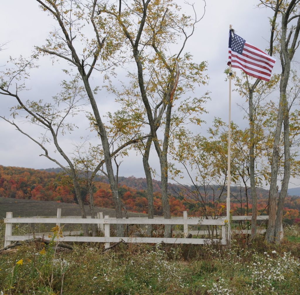
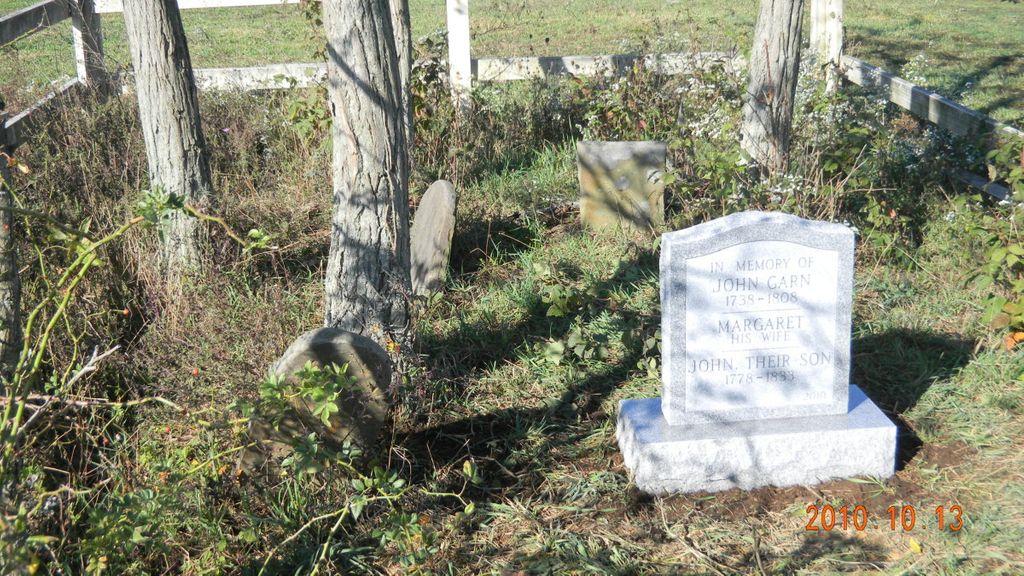
| Description | : | This little cemetery is located on a ridge on the Galen McDonald farm just west of Weyant. The farm was originally owned by John Garn and was divided between his two sons before he died. By zooming the map and switching to satellite view, one can see the fence that the Mcdonalds have placed around the cemetery. |
frequently asked questions (FAQ):
-
Where is McDonald Farm Cemetery?
McDonald Farm Cemetery is located at 260 Green Slopes Road Bedford County ,Pennsylvania , 16655USA.
-
McDonald Farm Cemetery cemetery's updated grave count on graveviews.com?
0 memorials
-
Where are the coordinates of the McDonald Farm Cemetery?
Latitude: 40.2151330
Longitude: -78.5673170

Nearby Cemetories:
1. Imler Saint Paul Brethren Cemetery
Imler, Bedford County, USA
Coordinate: 40.2059937, -78.5238647
2. Imler Valley Cemetery
Imler, Bedford County, USA
Coordinate: 40.2105713, -78.5224533
3. Hoover Cemetery
Alum Bank, Bedford County, USA
Coordinate: 40.1853910, -78.5921790
4. Mount Union Cemetery
Lovely, Bedford County, USA
Coordinate: 40.2247086, -78.6118469
5. Horn United Methodist Church Cemetery
Alum Bank, Bedford County, USA
Coordinate: 40.1767000, -78.5838000
6. Pleasantville Cemetery
Alum Bank, Bedford County, USA
Coordinate: 40.1836400, -78.6133400
7. Mount Zion Cemetery
Pavia, Bedford County, USA
Coordinate: 40.2613525, -78.5844879
8. William Clark Sr. Cemetery
Alum Bank, Bedford County, USA
Coordinate: 40.1682400, -78.5840400
9. Fickes Cemetery
King, Bedford County, USA
Coordinate: 40.2074410, -78.4919870
10. Thomas Callihan Family Cemetery
Alum Bank, Bedford County, USA
Coordinate: 40.1835940, -78.6327630
11. Old Union Cemetery
Osterburg, Bedford County, USA
Coordinate: 40.1677080, -78.5183640
12. Trinity Reformed Church Cemetery
Osterburg, Bedford County, USA
Coordinate: 40.1674309, -78.5170975
13. Osterburg Community Cemetery
Osterburg, Bedford County, USA
Coordinate: 40.1666700, -78.5154800
14. Stiefler Cemetery
Blue Knob, Bedford County, USA
Coordinate: 40.2733002, -78.5363998
15. Lutheran Cemetery at Osterburg
Osterburg, Bedford County, USA
Coordinate: 40.1665600, -78.5136500
16. Burk Cemetery
Queen, Bedford County, USA
Coordinate: 40.2813710, -78.5343690
17. Mock Church Cemetery
Alum Bank, Bedford County, USA
Coordinate: 40.1662407, -78.6400223
18. Greenfield Cemetery
Queen, Bedford County, USA
Coordinate: 40.2599000, -78.4850000
19. Saint Mark's Cemetery
King, Bedford County, USA
Coordinate: 40.2374400, -78.4672900
20. Upper Claar Cemetery
Queen, Bedford County, USA
Coordinate: 40.2870000, -78.5147000
21. Stone Church Cemetery
Fishertown, Bedford County, USA
Coordinate: 40.1337000, -78.5939000
22. Lower Claar Church of the Brethren Cemetery
Claysburg, Blair County, USA
Coordinate: 40.2858000, -78.4986000
23. Fishertown Lutheran Cemetery
Fishertown, Bedford County, USA
Coordinate: 40.1255500, -78.5861900
24. Fishertown Brethren Cemetery
Fishertown, Bedford County, USA
Coordinate: 40.1227300, -78.5880220