
| Memorials | : | 3 |
| Location | : | McIntosh, Kenora District, Canada |
| Coordinate | : | 49.9813175, -93.5870514 |
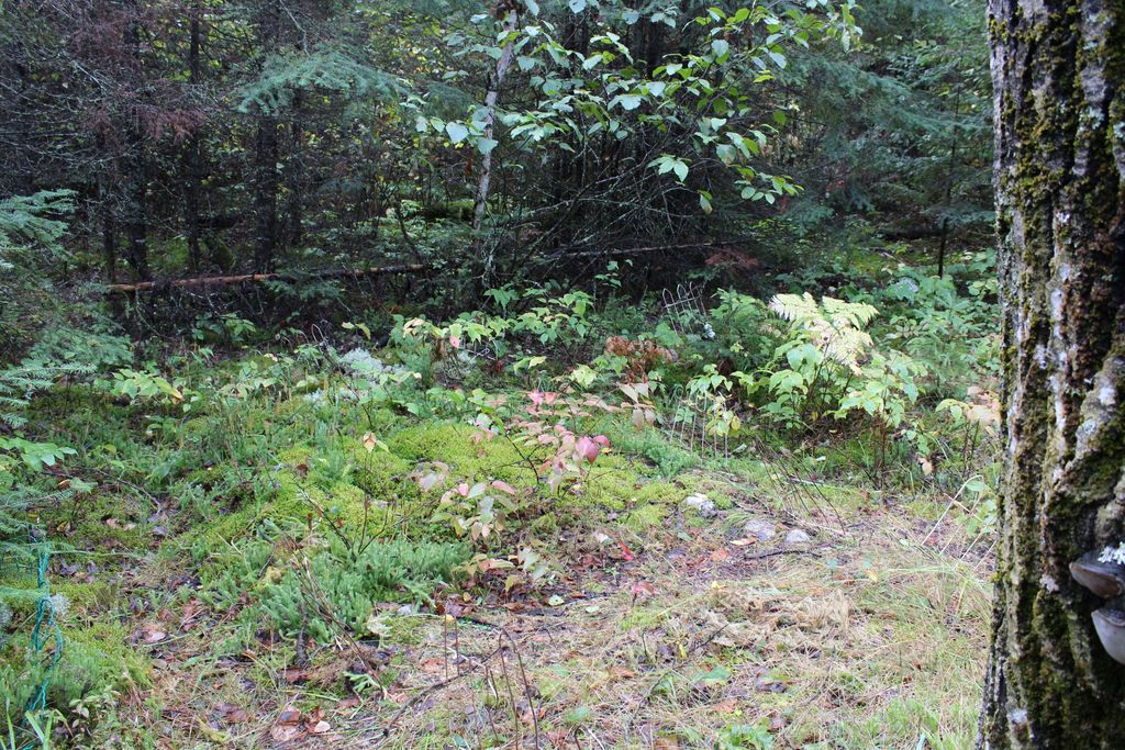
| Description | : | Approximate GPS coordinates Down the Blue Lake Road(in Vermillion Bay) on the west side of the road, just after McIntosh Road where the hydro lines cross the road |
frequently asked questions (FAQ):
-
Where is McIntosh Cemetery?
McIntosh Cemetery is located at McIntosh, Kenora District ,Ontario ,Canada.
-
McIntosh Cemetery cemetery's updated grave count on graveviews.com?
3 memorials
-
Where are the coordinates of the McIntosh Cemetery?
Latitude: 49.9813175
Longitude: -93.5870514
Nearby Cemetories:
1. McIntosh First Nation Residential School Cemetery
McIntosh, Kenora District, Canada
Coordinate: 49.9794440, -93.6108330
2. Quibell Cemetery
Quibell, Kenora District, Canada
Coordinate: 49.9594491, -93.4252027
3. Vermilion Bay Catholic Cemetery
Vermilion Bay, Kenora District, Canada
Coordinate: 49.8782390, -93.4265730
4. Eagle River Cemetery
Eagle River, Kenora District, Canada
Coordinate: 49.7920670, -93.2036170
5. Minnitaki Cemetery
Minnitaki, Kenora District, Canada
Coordinate: 49.8157393, -93.0846587
6. Oxdrift Cemetery
Oxdrift, Kenora District, Canada
Coordinate: 49.8148000, -92.9632200
7. Dryden Cemetery
Dryden, Kenora District, Canada
Coordinate: 49.7993900, -92.8460600
8. Lake Of The Woods Cemetery
Kenora, Kenora District, Canada
Coordinate: 49.7764700, -94.4798500
9. Pineridge Cemetery
Sioux Narrows, Kenora District, Canada
Coordinate: 49.3975171, -94.0623584
10. Ear Falls Municipal Cemetery
Ear Falls, Kenora District, Canada
Coordinate: 50.6151080, -93.1993280
11. Gold Pines Burying Ground
Ear Falls, Kenora District, Canada
Coordinate: 50.6408620, -93.3123336
12. Wabigoon Cemetery
Wabigoon, Kenora District, Canada
Coordinate: 49.7266200, -92.5850100
13. St. George's Anglican Cemetery
Dinorwic, Kenora District, Canada
Coordinate: 49.6919800, -92.4943600
14. Trinity Lutheran Church Cemetery
Dinorwic, Kenora District, Canada
Coordinate: 49.6628200, -92.4821100
15. Norman Cottam Memorial Gardens
Nestor Falls, Kenora District, Canada
Coordinate: 49.1343810, -93.9210630
16. Post Narrows Burying Ground
Red Lake, Kenora District, Canada
Coordinate: 50.9500348, -93.6032140
17. Red Lake Cemetery
Red Lake, Kenora District, Canada
Coordinate: 51.0209930, -93.8000000
18. Sacred Heart Cemetery
Sioux Lookout, Kenora District, Canada
Coordinate: 50.1029400, -91.9313600
19. Northway Cemetery
Sioux Lookout, Kenora District, Canada
Coordinate: 50.1028800, -91.9289400
20. Fort Saint Charles Cemetery
Fort Saint Charles, Lake of the Woods County, USA
Coordinate: 49.3628400, -94.9807120
21. Woodland Cemetery
Balmertown, Kenora District, Canada
Coordinate: 51.0711200, -93.7570900
22. South East Whiteshell Cemetery
Falcon Lake, Eastern Manitoba Census Division, Canada
Coordinate: 49.7142730, -95.2546700
23. Good Shepherd Cemetery
Angle Inlet, Lake of the Woods County, USA
Coordinate: 49.3511110, -95.0822500
24. Shenston Presbyterian Cemetery
Shenston, Rainy River District, Canada
Coordinate: 48.7222730, -94.0851720