
| Memorials | : | 9 |
| Location | : | Keyesport Landing, Bond County, USA |
| Coordinate | : | 38.7428017, -89.3277969 |
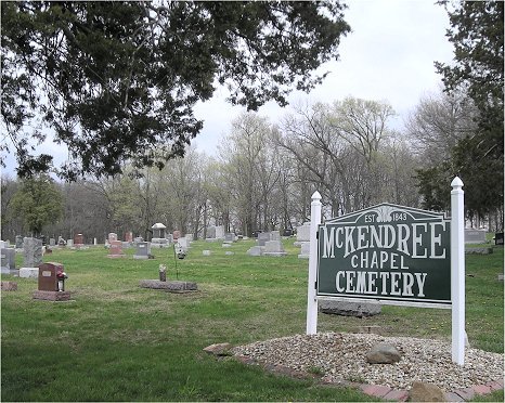
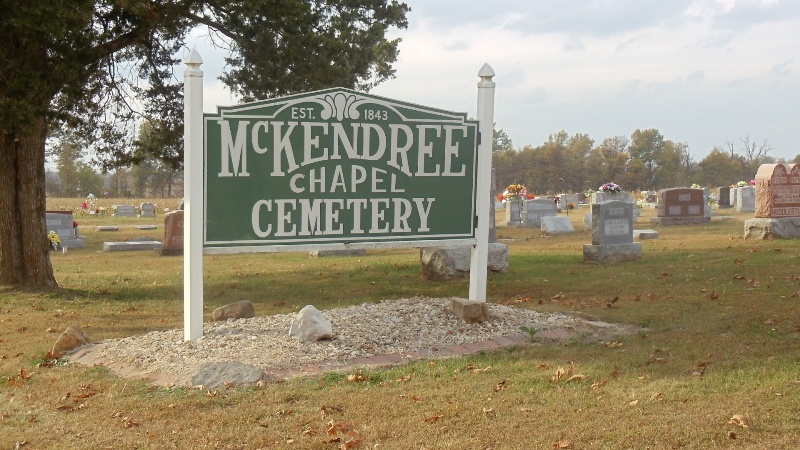
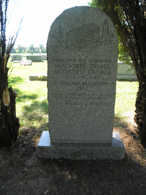
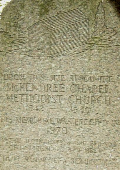
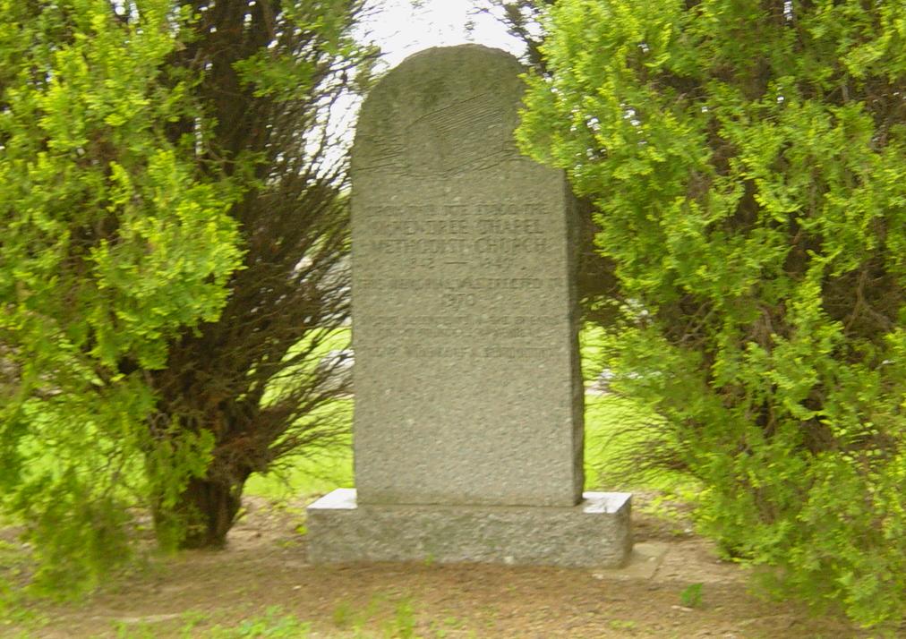
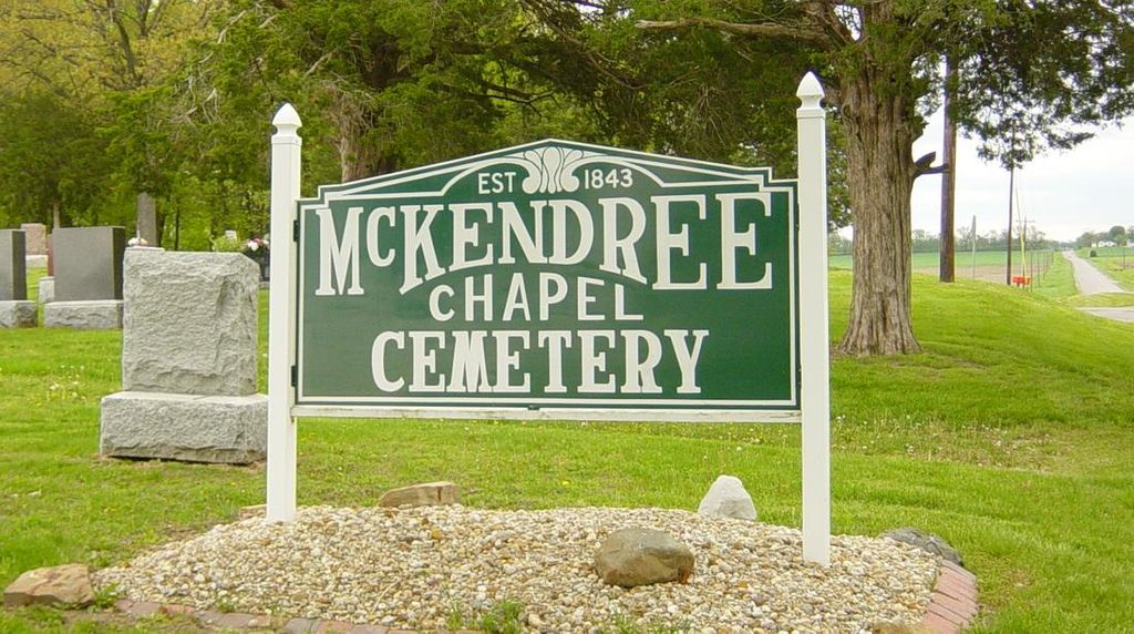
| Description | : | The cemetery is located in Tanalco Township on the northwest corner of the intersection of McKendree Road (County Road 1625 E) and Keyesport Road / Clinton Street (County Road 2). The U.S. Geological Survey (USGS) Geographic Names Information System (GNIS) feature ID for the cemetery is 413290 (McKendree Cemetery). |
frequently asked questions (FAQ):
-
Where is McKendree Chapel Cemetery?
McKendree Chapel Cemetery is located at McKendree Roadand Keyesport Road Keyesport Landing, Bond County ,Illinois , 62231USA.
-
McKendree Chapel Cemetery cemetery's updated grave count on graveviews.com?
9 memorials
-
Where are the coordinates of the McKendree Chapel Cemetery?
Latitude: 38.7428017
Longitude: -89.3277969
Nearby Cemetories:
1. Gillespie Cemetery
New Memphis, Clinton County, USA
Coordinate: 38.7350006, -89.3308029
2. Noe Graveyard
Keyesport, Clinton County, USA
Coordinate: 38.7225000, -89.3398000
3. McNeill Cemetery
Keyesport, Clinton County, USA
Coordinate: 38.7167015, -89.2891998
4. Keyesport City Cemetery
Keyesport, Clinton County, USA
Coordinate: 38.7368011, -89.2760010
5. Cole Family Cemetery
Keyesport, Clinton County, USA
Coordinate: 38.7339172, -89.3852386
6. Duncan Cemetery
Tamalco, Bond County, USA
Coordinate: 38.7710991, -89.2643967
7. Wisetown Cemetery
Beaver Creek, Bond County, USA
Coordinate: 38.7627983, -89.4021988
8. Bowen Graveyard
Jamestown, Clinton County, USA
Coordinate: 38.7231000, -89.4029000
9. Payne Cemetery
Keyesport Landing, Bond County, USA
Coordinate: 38.7849998, -89.2613983
10. Beaver Creek Baptist Church Cemetery
Marydale, Clinton County, USA
Coordinate: 38.7117340, -89.4071140
11. Saint Peters Cemetery
Hookdale, Bond County, USA
Coordinate: 38.8149986, -89.2941971
12. Burnside Cemetery
Carlyle, Clinton County, USA
Coordinate: 38.6646000, -89.3118000
13. Godell Graveyard
Marydale, Clinton County, USA
Coordinate: 38.7045060, -89.4167380
14. Yingst Cemetery
Carlyle, Clinton County, USA
Coordinate: 38.6828003, -89.3964005
15. Camp Ground Cemetery
Greenville, Bond County, USA
Coordinate: 38.7960014, -89.4094009
16. Pritchett Cemetery
Boulder, Clinton County, USA
Coordinate: 38.7111015, -89.2260971
17. Clark Cemetery
Clinton County, USA
Coordinate: 38.7016983, -89.2244034
18. Wright Family Cemetery
Boulder, Clinton County, USA
Coordinate: 38.7124500, -89.2146500
19. Noffsinger Cemetery
Pleasant Mound, Bond County, USA
Coordinate: 38.8349991, -89.2742004
20. Brewster Cemetery
Clinton County, USA
Coordinate: 38.6921997, -89.2153015
21. Collier Cemetery
Fayette County, USA
Coordinate: 38.8128014, -89.2328033
22. Poor Farm Cemetery
Carlyle, Clinton County, USA
Coordinate: 38.6463970, -89.3730710
23. Pratt Cemetery
Shobonier, Fayette County, USA
Coordinate: 38.7703000, -89.1942000
24. Saint Peter Lutheran Church Cemetery
Stolletown, Clinton County, USA
Coordinate: 38.6876400, -89.4471000