
| Memorials | : | 912 |
| Location | : | Plymouth, Amador County, USA |
| Coordinate | : | 38.4821160, -120.8496160 |
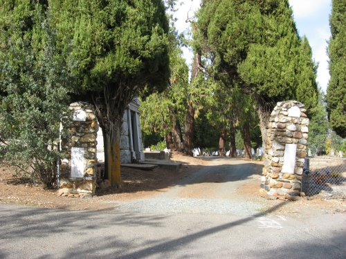
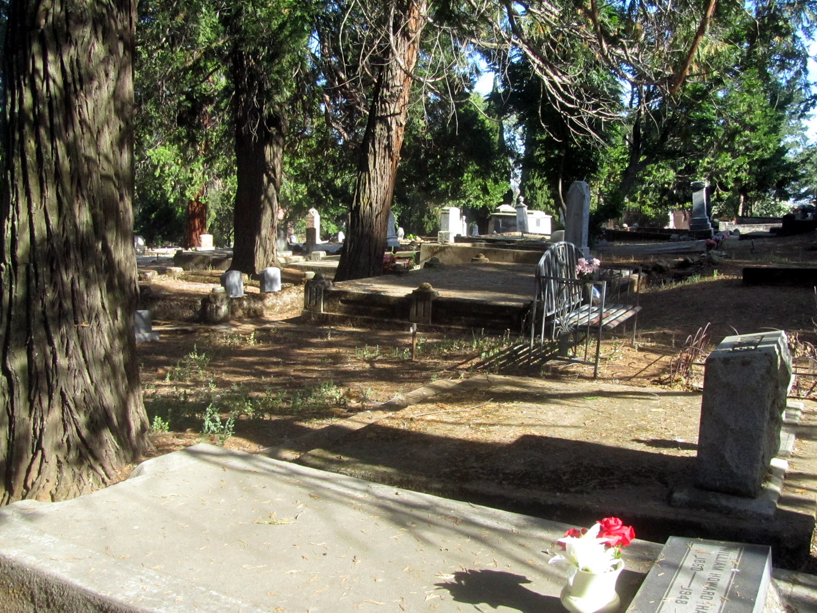
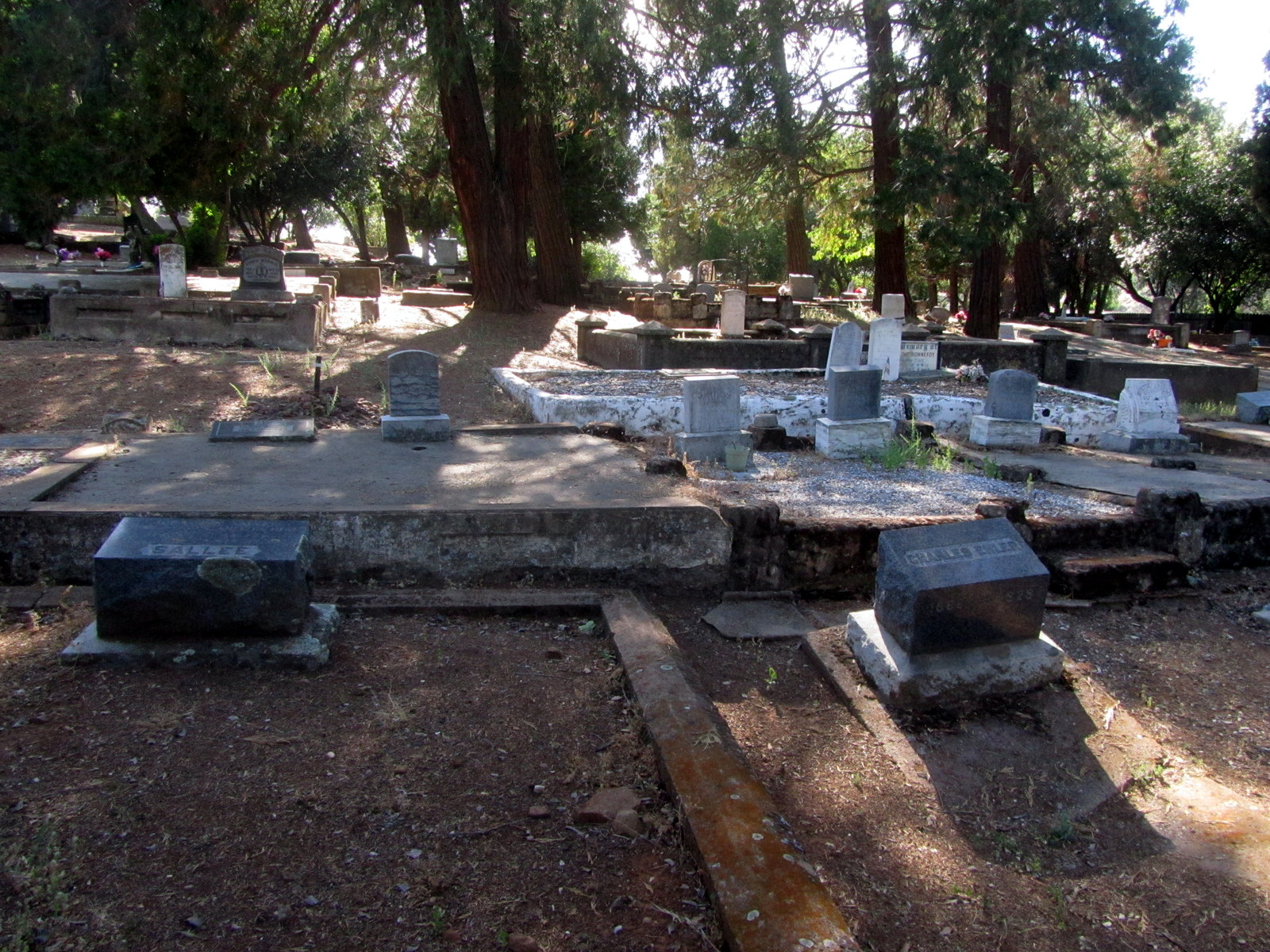
| Description | : | The current town of Plymouth was organized in 1871. Whether the existing towns of Pokerville and Puckerville were near each other or merged into Plymouth is not known. The name Plymouth came from a quartz mill nearby. The Plymouth Memorial Cemetery is the combination of two cemeteries, the Plymouth Catholic Cemetery to the west and the Plymouth Protestant aka City Cemetery to the east. The Catholic Church, St Mary of the Mountains, sits just beneath the entrance to the Catholic part. It was originally built in 1881 and continued until the services stopped in 2020. Several years ago, the Catholic... Read More |
frequently asked questions (FAQ):
-
Where is Plymouth Memorial Cemetery?
Plymouth Memorial Cemetery is located at Plymouth, Amador County ,California ,USA.
-
Plymouth Memorial Cemetery cemetery's updated grave count on graveviews.com?
912 memorials
-
Where are the coordinates of the Plymouth Memorial Cemetery?
Latitude: 38.4821160
Longitude: -120.8496160
Nearby Cemetories:
1. Plymouth IOOF Cemetery
Plymouth, Amador County, USA
Coordinate: 38.4791000, -120.8506800
2. Cowboy Park Cemetery
Plymouth, Amador County, USA
Coordinate: 38.4787060, -120.8522060
3. Saint Stephens Cemetery
Drytown, Amador County, USA
Coordinate: 38.4417730, -120.8522840
4. White Family Cemetery
Plymouth, Amador County, USA
Coordinate: 38.4915200, -120.9002200
5. Drytown City Cemetery
Amador County, USA
Coordinate: 38.4407425, -120.8577118
6. Parsons Plot
New Chicago, Amador County, USA
Coordinate: 38.4354000, -120.8174100
7. Gardner Delles Family Cemetery
Amador County, USA
Coordinate: 38.4557700, -120.7881900
8. Oak Knoll Cemetery
Amador City, Amador County, USA
Coordinate: 38.4263992, -120.8300018
9. Amador City Cemetery
Amador City, Amador County, USA
Coordinate: 38.4198000, -120.8252000
10. Chinese Cemetery
Fiddletown, Amador County, USA
Coordinate: 38.5017600, -120.7699500
11. Shenandoah Valley Cemetery
Amador County, USA
Coordinate: 38.5367012, -120.8016968
12. Fiddletown Cemetery
Fiddletown, Amador County, USA
Coordinate: 38.5021300, -120.7577150
13. IOOF Cemetery
Fiddletown, Amador County, USA
Coordinate: 38.5026290, -120.7490990
14. Odd Fellows Cemetery
Sutter Creek, Amador County, USA
Coordinate: 38.3964120, -120.8110550
15. Sutter Creek Catholic Cemetery
Sutter Creek, Amador County, USA
Coordinate: 38.3955780, -120.8101970
16. Sutter Creek City Cemetery
Sutter Creek, Amador County, USA
Coordinate: 38.3957520, -120.8091940
17. Immaculate Conception Parish Cemetery
Sutter Creek, Amador County, USA
Coordinate: 38.3956980, -120.8063430
18. Chinese Cemetery
Placerville, El Dorado County, USA
Coordinate: 38.5836700, -120.8817100
19. Fanny Creek Cemetery
El Dorado County, USA
Coordinate: 38.5837700, -120.8816900
20. Jackson Gate Perano Cemetery
Jackson, Amador County, USA
Coordinate: 38.3701640, -120.7778150
21. Moriah Heights Cemetery
Plymouth, Amador County, USA
Coordinate: 38.4797300, -121.0111300
22. Sunset View Cemetery
Martell, Amador County, USA
Coordinate: 38.3534390, -120.8328030
23. Schenck Ranch Cemetery
Frenchtown, El Dorado County, USA
Coordinate: 38.5961120, -120.9281020
24. Chinese Cemetery
Jackson, Amador County, USA
Coordinate: 38.3674680, -120.7655440