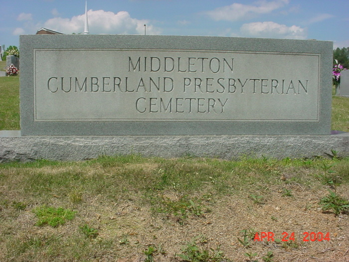
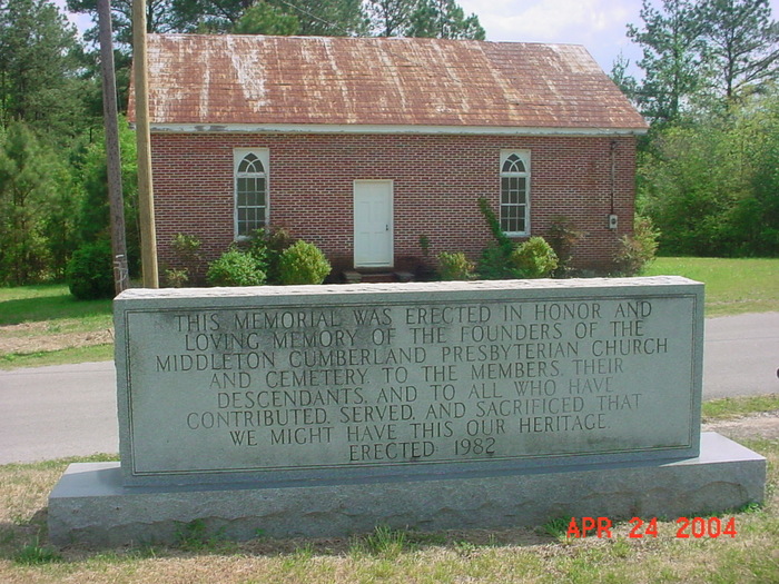
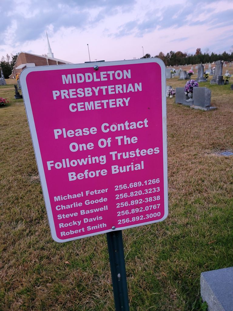
| Memorials | : | 5 |
| Location | : | Middleton, Calhoun County, USA |
| Coordinate | : | 33.7700005, -85.9835968 |
| Description | : | Middleton Presbyterian Cemetery is listed on Google Maps as Middleton Cemetery. The cemetery is located off of Hwy 144 in Ohatchee, directly behind Oak Bowery Baptist Church. If you are heading West on Hwy 144, turn left onto Middleton Road South and the cemetery will be on the right. If heading East on Hwy 144, turn right onto Boiling Springs Road, then turn left onto Middleton Road South and the cemetery will be on the left. The cemetery can also be accessed by turning into the parking lot of Oak Bowery Baptist Church, driving around to the back of the... Read More |
frequently asked questions (FAQ):
-
Where is Middleton Cumberland Presbyterian Church Cemetery?
Middleton Cumberland Presbyterian Church Cemetery is located at Middleton, Calhoun County ,Alabama ,USA.
-
Middleton Cumberland Presbyterian Church Cemetery cemetery's updated grave count on graveviews.com?
5 memorials
-
Where are the coordinates of the Middleton Cumberland Presbyterian Church Cemetery?
Latitude: 33.7700005
Longitude: -85.9835968
Nearby Cemetories:
1. Oak Bowery Baptist Church Cemetery
Ohatchee, Calhoun County, USA
Coordinate: 33.7694016, -85.9839020
2. Ten Island Church Cemetery
Ohatchee, Calhoun County, USA
Coordinate: 33.7642083, -85.9794997
3. Ohatchee First Baptist Church Cemetery
Ohatchee, Calhoun County, USA
Coordinate: 33.7840030, -86.0082080
4. First Missionary Baptist Church of Ohatchee Cemete
Ohatchee, Calhoun County, USA
Coordinate: 33.7983600, -85.9967100
5. Ohatchee Cemetery
Ohatchee, Calhoun County, USA
Coordinate: 33.8005981, -86.0038986
6. Boiling Springs Cemetery
Ohatchee, Calhoun County, USA
Coordinate: 33.7851410, -86.0270691
7. Crook Cemetery
Ohatchee, Calhoun County, USA
Coordinate: 33.7835999, -85.9332962
8. Morrisville Cemetery
Morrisville, Calhoun County, USA
Coordinate: 33.7313220, -85.9543000
9. Hampton Cemetery
Lowrimores Crossroads, Calhoun County, USA
Coordinate: 33.7482986, -85.9289017
10. Ten Island Cemetery
Morrisville, Calhoun County, USA
Coordinate: 33.7999992, -86.0372009
11. Shady Glen Cemetery
Anniston, Calhoun County, USA
Coordinate: 33.7157600, -85.9924900
12. Ragan Chapel Cemetery
Francis, Calhoun County, USA
Coordinate: 33.7510986, -86.0460968
13. Gladden Cemetery
Lowrimores Crossroads, Calhoun County, USA
Coordinate: 33.7668991, -85.9122009
14. Cane Creek Cemetery
Cane Creek, Calhoun County, USA
Coordinate: 33.7239250, -85.9380140
15. New Mount Sellers Cemetery
Anniston, Calhoun County, USA
Coordinate: 33.7432289, -85.9170837
16. Pace Cemetery
Anniston, Calhoun County, USA
Coordinate: 33.7306290, -85.9087830
17. United Fellowship Baptist Church Cemetery
Alexandria, Calhoun County, USA
Coordinate: 33.7865982, -85.8946991
18. Mount Zion Baptist Church Cemetery
Alexandria, Calhoun County, USA
Coordinate: 33.7578011, -85.8925018
19. Hebron Cemetery
Duke, Calhoun County, USA
Coordinate: 33.8389015, -85.9413986
20. Maple Grove Cemetery
Alexandria, Calhoun County, USA
Coordinate: 33.7420200, -85.8927300
21. Vinson Cemetery
Sulphur Springs (Jacksonville West), Calhoun County, USA
Coordinate: 33.7056000, -86.0424000
22. Alexandria United Methodist Church Cemetery
Alexandria, Calhoun County, USA
Coordinate: 33.7728004, -85.8824997
23. New Bethel Cemetery
Anniston, Calhoun County, USA
Coordinate: 33.6871986, -85.9627991
24. Martin Family Cemetery
Ohatchee, Calhoun County, USA
Coordinate: 33.8477100, -86.0276200


