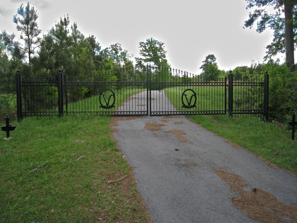
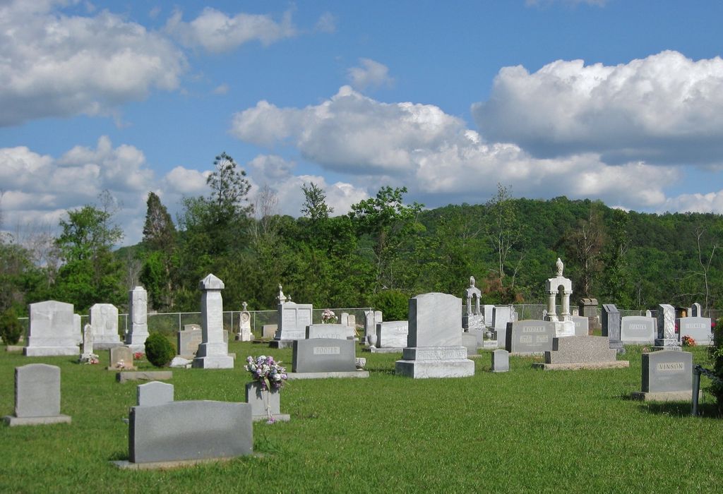
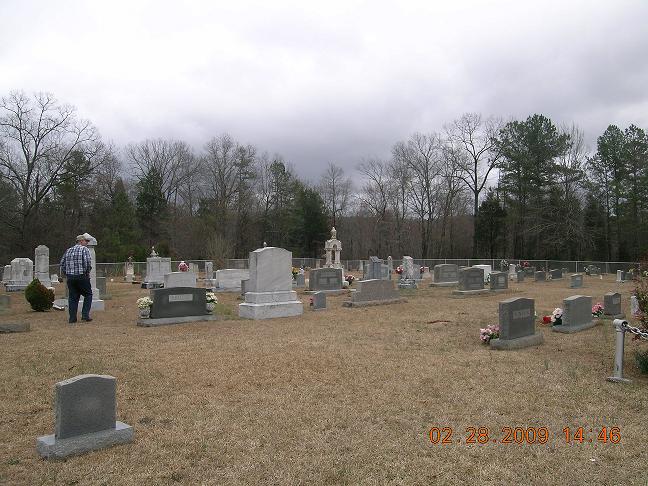
| Memorials | : | 2 |
| Location | : | Sulphur Springs (Jacksonville West), Calhoun County, USA |
| Coordinate | : | 33.7056000, -86.0424000 |
| Description | : | Also known as Sulphur Springs Cemetery. This Cemetery is found in Township 15S Range 6E Section 19/30. Go North on County Road 93 to the intersection of HWY 77 South, turn North and continue 2.5 miles to Francis Mill Road, then turn East. Or, the Vinson Cemetery is located off Mudd Street on County Road 1 between Ohatchee and Eastaboga in the Sulphur Springs Community. |
frequently asked questions (FAQ):
-
Where is Vinson Cemetery?
Vinson Cemetery is located at 960 Francis Mill Rd Sulphur Springs (Jacksonville West), Calhoun County ,Alabama , 36271USA.
-
Vinson Cemetery cemetery's updated grave count on graveviews.com?
1 memorials
-
Where are the coordinates of the Vinson Cemetery?
Latitude: 33.7056000
Longitude: -86.0424000
Nearby Cemetories:
1. Bailey Springs Cemetery
Sulphur Springs (Francis Mill), Calhoun County, USA
Coordinate: 33.7118988, -86.0781021
2. Green Cemetery
Sulphur Springs (Jacksonville West), Calhoun County, USA
Coordinate: 33.6903200, -86.0752200
3. Green Cemetery
Jacksonville, Calhoun County, USA
Coordinate: 33.6903400, -86.0754600
4. Creswell Cemetery
Eastaboga, Calhoun County, USA
Coordinate: 33.6680984, -86.0456009
5. Mount Olive Baptist Church Cemetery
Ohatchee, Calhoun County, USA
Coordinate: 33.7131004, -86.0899963
6. Mitchell Cemetery
Ohatchee, Calhoun County, USA
Coordinate: 33.7120860, -86.0904810
7. Shady Glen Cemetery
Anniston, Calhoun County, USA
Coordinate: 33.7157600, -85.9924900
8. Ragan Chapel Cemetery
Francis, Calhoun County, USA
Coordinate: 33.7510986, -86.0460968
9. New Bethel Cemetery
Anniston, Calhoun County, USA
Coordinate: 33.6871986, -85.9627991
10. Patton Chapel Community Cemetery
Lincoln, Talladega County, USA
Coordinate: 33.6353000, -86.0694000
11. Refuge Baptist Church Cemetery
Lincoln, Talladega County, USA
Coordinate: 33.6552540, -86.1092410
12. Morrisville Cemetery
Morrisville, Calhoun County, USA
Coordinate: 33.7313220, -85.9543000
13. Ten Island Church Cemetery
Ohatchee, Calhoun County, USA
Coordinate: 33.7642083, -85.9794997
14. Providence Church Cemetery
Ragland, St. Clair County, USA
Coordinate: 33.7521230, -86.1198090
15. Oak Bowery Baptist Church Cemetery
Ohatchee, Calhoun County, USA
Coordinate: 33.7694016, -85.9839020
16. Boiling Springs Cemetery
Ohatchee, Calhoun County, USA
Coordinate: 33.7851410, -86.0270691
17. Middleton Cumberland Presbyterian Church Cemetery
Middleton, Calhoun County, USA
Coordinate: 33.7700005, -85.9835968
18. Hall Cemetery
Lincoln, Talladega County, USA
Coordinate: 33.6507988, -86.1168976
19. Plum Springs Baptist Church Cemetery #02
Old Eastaboga, Talladega County, USA
Coordinate: 33.6230310, -86.0312140
20. Ohatchee First Baptist Church Cemetery
Ohatchee, Calhoun County, USA
Coordinate: 33.7840030, -86.0082080
21. Plum Springs Baptist Church Cemetery #01
Old Eastaboga, Talladega County, USA
Coordinate: 33.6225000, -86.0258000
22. Saint Mary's Baptist Church Cemetery
Lincoln, Talladega County, USA
Coordinate: 33.6204970, -86.0641910
23. Cane Creek Cemetery
Cane Creek, Calhoun County, USA
Coordinate: 33.7239250, -85.9380140
24. Wester Cemetery
St. Clair County, USA
Coordinate: 33.6927986, -86.1500015


