
| Memorials | : | 0 |
| Location | : | Portsea, Portsmouth Unitary Authority, England |
| Coordinate | : | 50.8108900, -1.0876400 |
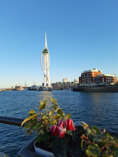
| Description | : | Mile End Cemetery, which was operated by the Portsea Island General Cemetery Company opened on 23 November 1831. It ceased operation in the 1950s and is now covered by a car park for the ferry terminal. A few interments were removed to other cemeteries in the area but most of the buried remain under the pavement. Portsmouth City Records Office has the burial registers for the cemetery (1831-1955). The cemetery can be located on historical ordnance maps of Portsea Island. |
frequently asked questions (FAQ):
-
Where is Mile End Cemetery?
Mile End Cemetery is located at Portsea, Portsmouth Unitary Authority ,Hampshire ,England.
-
Mile End Cemetery cemetery's updated grave count on graveviews.com?
0 memorials
-
Where are the coordinates of the Mile End Cemetery?
Latitude: 50.8108900
Longitude: -1.0876400
Nearby Cemetories:
1. St. Mary's Churchyard
Portsea, Portsmouth Unitary Authority, England
Coordinate: 50.8035350, -1.0763490
2. HMS Victoria Monument
Portsmouth, Portsmouth Unitary Authority, England
Coordinate: 50.7997200, -1.0950800
3. Kingston Cemetery
Portsmouth, Portsmouth Unitary Authority, England
Coordinate: 50.8031440, -1.0683260
4. HMS Victory Ship
Portsmouth, Portsmouth Unitary Authority, England
Coordinate: 50.8017290, -1.1095590
5. Milton Cemetery
Portsmouth, Portsmouth Unitary Authority, England
Coordinate: 50.7988700, -1.0608030
6. Portsmouth Unitarian Church
Portsmouth, Portsmouth Unitary Authority, England
Coordinate: 50.7915640, -1.1011840
7. Portsmouth Cathedral Churchyard
Portsmouth, Portsmouth Unitary Authority, England
Coordinate: 50.7904650, -1.1043720
8. Old Jewish Cemetery
Portsmouth, Portsmouth Unitary Authority, England
Coordinate: 50.7887000, -1.0738800
9. Royal Garrison Churchyard
Portsmouth, Portsmouth Unitary Authority, England
Coordinate: 50.7890180, -1.1040520
10. Royal Garrison Church Churchyard
Plymouth, Plymouth Unitary Authority, England
Coordinate: 50.7889690, -1.1039650
11. St James Churchyard
Eastney, Portsmouth Unitary Authority, England
Coordinate: 50.7940650, -1.0581150
12. Holy Trinity Churchyard
Gosport, Gosport Borough, England
Coordinate: 50.7930600, -1.1207620
13. Highland Road Cemetery
Portsmouth, Portsmouth Unitary Authority, England
Coordinate: 50.7860500, -1.0671790
14. Portsmouth Naval Memorial
Portsmouth, Portsmouth Unitary Authority, England
Coordinate: 50.7824440, -1.0957720
15. St. Mary's Churchyard
Portchester, Fareham Borough, England
Coordinate: 50.8366280, -1.1134270
16. Roman Grove Cemetery
Portchester, Fareham Borough, England
Coordinate: 50.8384600, -1.1206200
17. St John the Evangelist Churchyard
Gosport, Gosport Borough, England
Coordinate: 50.7995600, -1.1397800
18. St Peter and St Paul Churchyard
Wymering, Portsmouth Unitary Authority, England
Coordinate: 50.8457490, -1.0777170
19. St Thomas the Apostle Churchyard
Gosport, Gosport Borough, England
Coordinate: 50.8137570, -1.1484570
20. Clayhall Naval Cemetery
Gosport, Gosport Borough, England
Coordinate: 50.7833862, -1.1373420
21. Turkish Naval Cemetery
Gosport, Gosport Borough, England
Coordinate: 50.7840710, -1.1383980
22. Ann's Hill Cemetery
Gosport, Gosport Borough, England
Coordinate: 50.7982670, -1.1549450
23. St. Mark's Churchyard
Alverstoke, Gosport Borough, England
Coordinate: 50.7826800, -1.1436100
24. St Mary Churchyard
Alverstoke, Gosport Borough, England
Coordinate: 50.7856760, -1.1480810