
| Memorials | : | 5 |
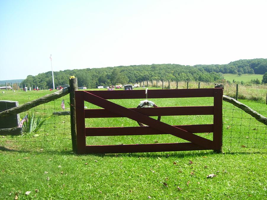
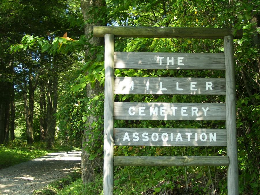
| Location | : | Preston County, USA |
| Coordinate | : | 39.5250015, -79.5081024 |
| Description | : | From Rt. 7 in Terra Alta, turn north onto Toy Street (between the two banks) travel approx. 1.5 miles to the intersection of CR42 (Oak Grove Rd.) and CR 47 (Cranesville Rd.). Turn right onto CR47 - Cranesville Rd. and travel approx. 5.1 miles to CR 36 - Afton Rd. on the left. Turn onto Afton Rd. and travel approx. 0.2 miles to road to cemetery on the right. |
frequently asked questions (FAQ):
-
Where is Miller Cemetery?
Miller Cemetery is located at Preston County ,West Virginia ,USA.
-
Miller Cemetery cemetery's updated grave count on graveviews.com?
5 memorials
-
Where are the coordinates of the Miller Cemetery?
Latitude: 39.5250015
Longitude: -79.5081024
Nearby Cemetories:
1. Lake Ford Cemetery
Garrett County, USA
Coordinate: 39.5278015, -79.4792023
2. Kelly Cemetery
Afton, Preston County, USA
Coordinate: 39.5492200, -79.5333720
3. Cranesville Cemetery
Cranesville, Preston County, USA
Coordinate: 39.5543920, -79.4929870
4. Lenox Memorial Cemetery
Lenox, Preston County, USA
Coordinate: 39.5597000, -79.5927963
5. Hoyes Run Cemetery
Garrett County, USA
Coordinate: 39.5313100, -79.4110900
6. Taylor-Sines Cemetery
Oakland, Garrett County, USA
Coordinate: 39.4894470, -79.4165480
7. Upper Sang Run Cemetery
McHenry, Garrett County, USA
Coordinate: 39.5717810, -79.4242430
8. Sypolt Cemetery
Albright, Preston County, USA
Coordinate: 39.4907410, -79.6059890
9. Herrington Cemetery
Oakland, Garrett County, USA
Coordinate: 39.4558600, -79.4474680
10. Sisler Cemetery
Mountain Dale, Preston County, USA
Coordinate: 39.6081009, -79.4938965
11. Sypolt
Albright, Preston County, USA
Coordinate: 39.4910030, -79.6085490
12. Sypolt Cemetery #2
Albright, Preston County, USA
Coordinate: 39.4910030, -79.6085490
13. Parnell Cemetery
Cuzzart, Preston County, USA
Coordinate: 39.5991900, -79.5687000
14. Shaw Cemetery
Albright, Preston County, USA
Coordinate: 39.5221760, -79.6277860
15. Bray Cemetery
Oakland, Garrett County, USA
Coordinate: 39.5006900, -79.3858100
16. Danks Cemetery
Bruceton Mills, Preston County, USA
Coordinate: 39.6256110, -79.5290560
17. Saint Joe Cemetery
Albright, Preston County, USA
Coordinate: 39.4894510, -79.6320840
18. Hoye Family Cemetery - Crab Tree Bottom
McHenry, Garrett County, USA
Coordinate: 39.5642220, -79.3855000
19. Centenary Cemetery
Cuzzart, Preston County, USA
Coordinate: 39.6000920, -79.6036560
20. Oak Grove Church of the Brethren Cemetery
McHenry, Garrett County, USA
Coordinate: 39.5694400, -79.3834300
21. Friend Cemetery
Oakland, Garrett County, USA
Coordinate: 39.4913500, -79.3778000
22. Savage Cemetery
Hazelton, Preston County, USA
Coordinate: 39.6323470, -79.5003360
23. Keeler Glade Cemetery
Garrett County, USA
Coordinate: 39.6308000, -79.4768000
24. Albright Cemetery
Preston County, USA
Coordinate: 39.4949500, -79.6436260