
| Memorials | : | 6 |
| Location | : | Applegate, Jackson County, USA |
| Coordinate | : | 42.2989998, -123.2200012 |
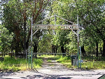
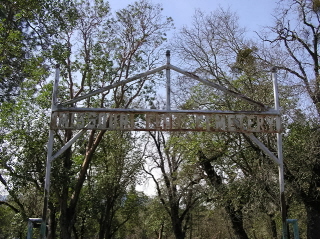
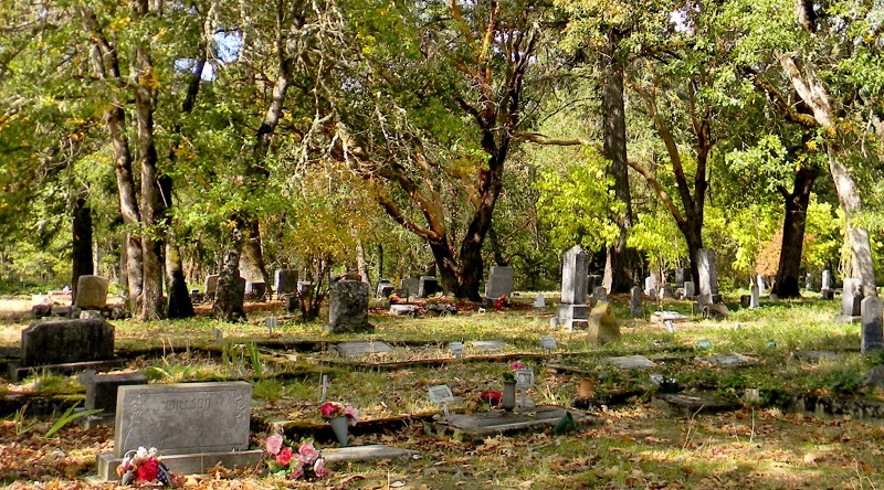
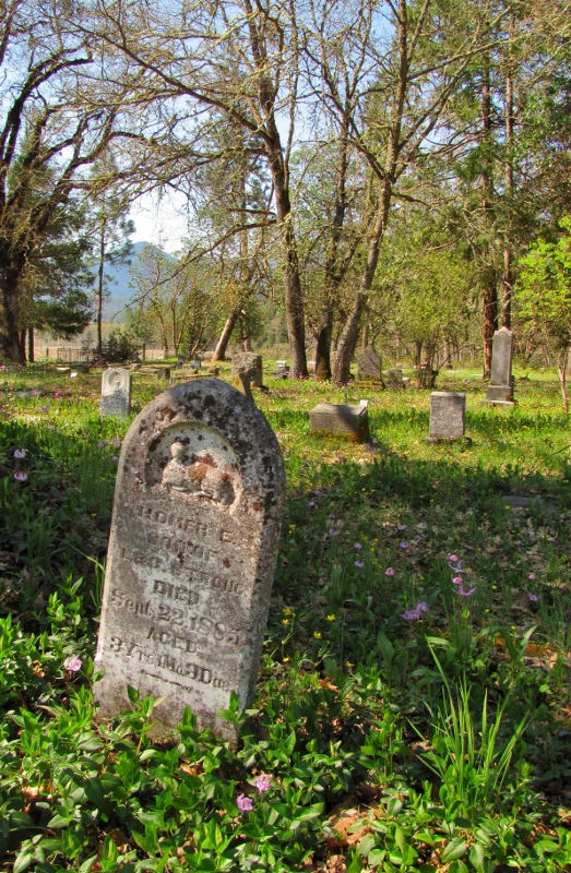
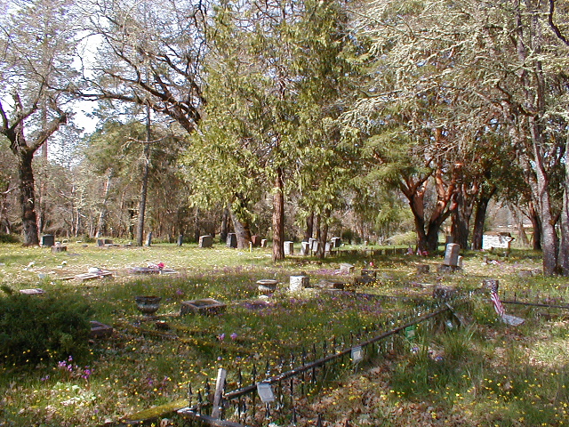
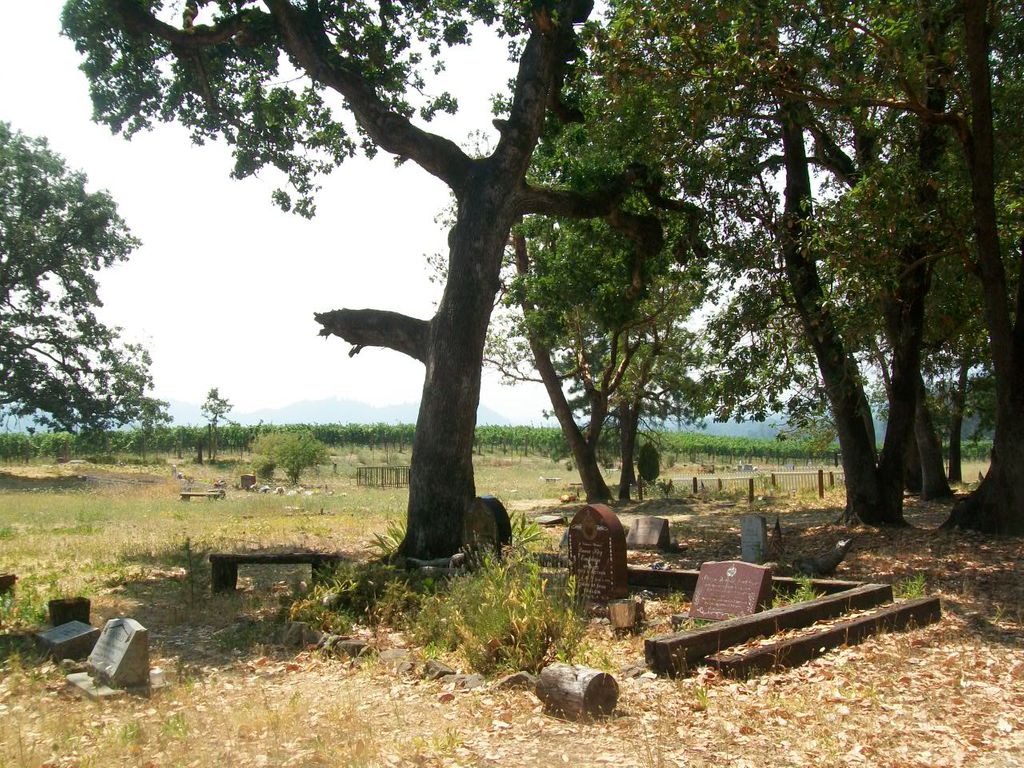
| Description | : | Lat: 42° 17' 58"N, Lon: 123° 13' 07"W From Grants Pass, take Williams Highway almost to the Murphy Bridge, turn left on North Applegate Road, proceed for seven miles. Do not turn at the Missouri Flat Road sign, but continue going to the intersection of North Applegate and Kubli Road, then just around the curve to your right. From Applegate drive northwest on North Applegate road about 5 miles, turn right onto Kubli Road, and the cemetery will be on your left or west side of road after about another mile. Missouri Flat Cemetery, also known as Kubli Cemetery, named after the road... Read More |
frequently asked questions (FAQ):
-
Where is Missouri Flat Cemetery?
Missouri Flat Cemetery is located at Applegate, Jackson County ,Oregon ,USA.
-
Missouri Flat Cemetery cemetery's updated grave count on graveviews.com?
4 memorials
-
Where are the coordinates of the Missouri Flat Cemetery?
Latitude: 42.2989998
Longitude: -123.2200012
Nearby Cemetories:
1. Sparlin Cemetery
Williams, Josephine County, USA
Coordinate: 42.2447014, -123.2716980
2. Gotcher Cemetery
Williams, Josephine County, USA
Coordinate: 42.2447014, -123.2752991
3. Buddenhagen Family Cemetery
Grants Pass, Josephine County, USA
Coordinate: 42.3195740, -123.3530760
4. Hartley Cemetery
Williams, Josephine County, USA
Coordinate: 42.2106018, -123.2891998
5. Woodville Cemetery
Rogue River, Jackson County, USA
Coordinate: 42.4347000, -123.1583023
6. IOOF Cemetery
Grants Pass, Josephine County, USA
Coordinate: 42.4372670, -123.2936080
7. Grants Pass Masonic Pioneer Cemetery
Grants Pass, Josephine County, USA
Coordinate: 42.4372830, -123.2940890
8. Logtown Cemetery
Ruch, Jackson County, USA
Coordinate: 42.2588997, -123.0250015
9. St. Luke's Episcopal Church Columbarium
Grants Pass, Josephine County, USA
Coordinate: 42.4421760, -123.3278260
10. St. Luke's Episcopal Church Bonney Memorial Garden
Grants Pass, Josephine County, USA
Coordinate: 42.4423026, -123.3276066
11. Croxton Memorial Park
Grants Pass, Josephine County, USA
Coordinate: 42.4483870, -123.3150180
12. Hays-Gall Cemetery
Gold Hill, Jackson County, USA
Coordinate: 42.4305992, -123.0777969
13. Rock Point Pioneer Cemetery
Gold Hill, Jackson County, USA
Coordinate: 42.4361000, -123.0852966
14. Gold Hill IOOF Cemetery
Gold Hill, Jackson County, USA
Coordinate: 42.4366989, -123.0832977
15. Hillcrest Memorial Park Cemetery
Grants Pass, Josephine County, USA
Coordinate: 42.4569000, -123.3156200
16. Hawthorne Memorial Gardens
Grants Pass, Josephine County, USA
Coordinate: 42.4444008, -123.3610992
17. Granite Hill Cemetery
Grants Pass, Josephine County, USA
Coordinate: 42.4458008, -123.3638992
18. Jacksonville Cemetery
Jacksonville, Jackson County, USA
Coordinate: 42.3173065, -122.9717712
19. Saint Andrew's Anglican Church Rose Garden
Jacksonville, Jackson County, USA
Coordinate: 42.3152370, -122.9652530
20. Wilderville Cemetery
Wilderville, Josephine County, USA
Coordinate: 42.3792000, -123.4610977
21. Memory Gardens Memorial Park
Medford, Jackson County, USA
Coordinate: 42.3107986, -122.9321976
22. Sloan Cemetery
Grants Pass, Josephine County, USA
Coordinate: 42.4171982, -123.4606018
23. Sterlingville Cemetery
Jacksonville, Jackson County, USA
Coordinate: 42.2153015, -122.9496994
24. Steamboat Cemetery
Steamboat, Jackson County, USA
Coordinate: 42.0764008, -123.2071991