
| Memorials | : | 1 |
| Location | : | Grants Pass, Josephine County, USA |
| Coordinate | : | 42.4421760, -123.3278260 |
frequently asked questions (FAQ):
-
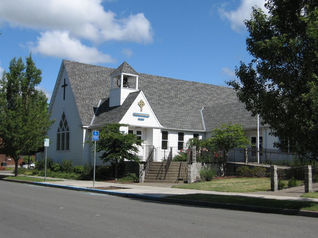
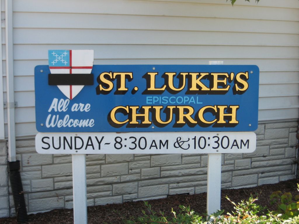
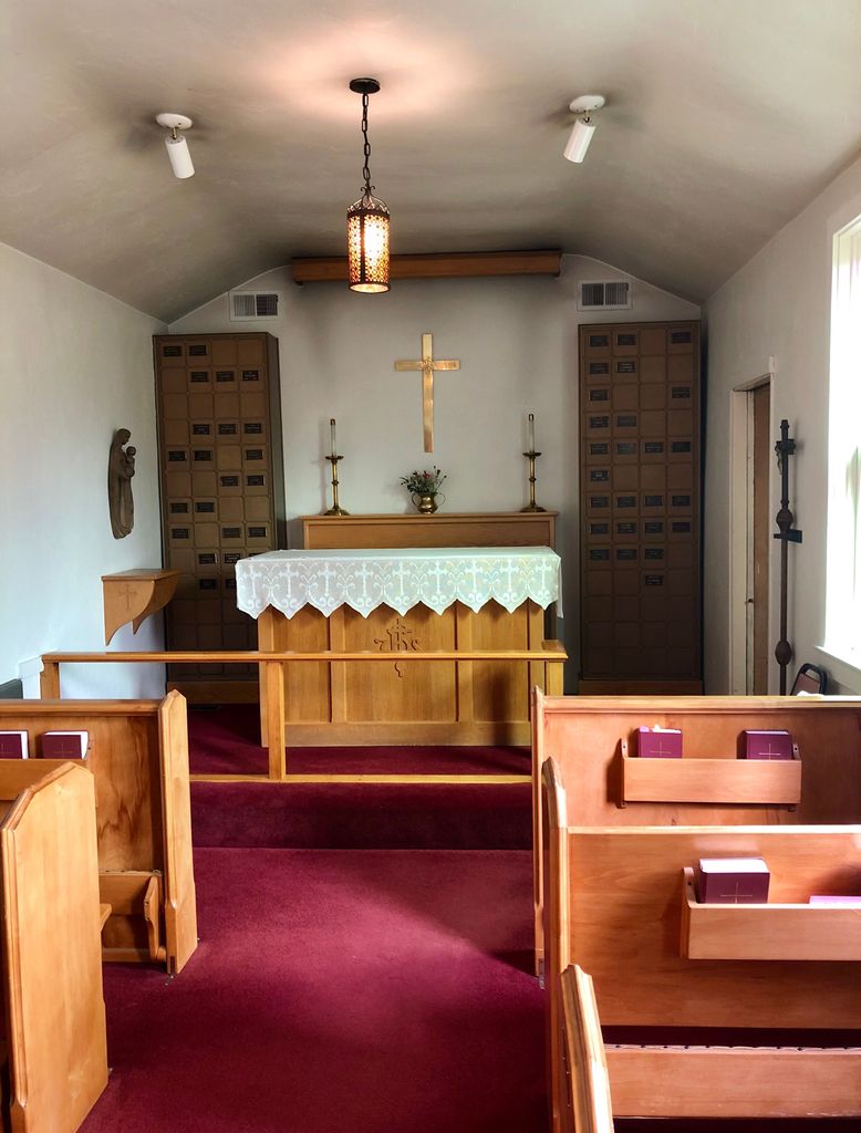
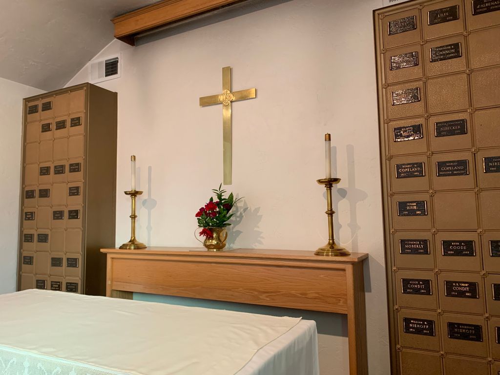
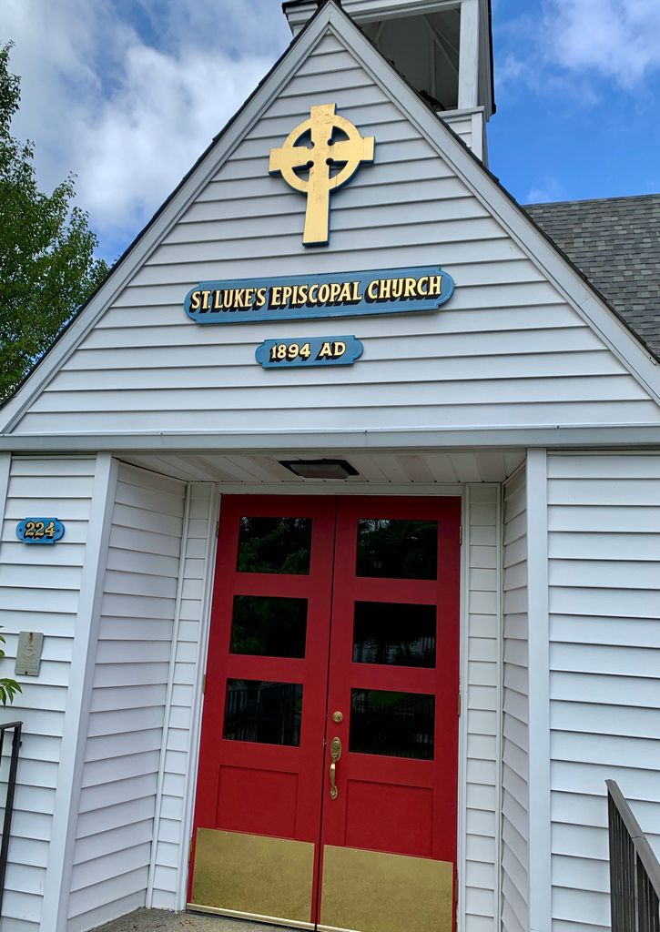
Where is St. Luke's Episcopal Church Columbarium?
St. Luke's Episcopal Church Columbarium is located at 224 NW D Street Grants Pass, Josephine County ,Oregon ,USA.
-
St. Luke's Episcopal Church Columbarium cemetery's updated grave count on graveviews.com?
1 memorials
-
Where are the coordinates of the St. Luke's Episcopal Church Columbarium?
Latitude: 42.4421760
Longitude: -123.3278260
Nearby Cemetories:
1. St. Luke's Episcopal Church Bonney Memorial Garden
Grants Pass, Josephine County, USA
Coordinate: 42.4423026, -123.3276066
2. Croxton Memorial Park
Grants Pass, Josephine County, USA
Coordinate: 42.4483870, -123.3150180
3. Hillcrest Memorial Park Cemetery
Grants Pass, Josephine County, USA
Coordinate: 42.4569000, -123.3156200
4. Hawthorne Memorial Gardens
Grants Pass, Josephine County, USA
Coordinate: 42.4444008, -123.3610992
5. Grants Pass Masonic Pioneer Cemetery
Grants Pass, Josephine County, USA
Coordinate: 42.4372830, -123.2940890
6. IOOF Cemetery
Grants Pass, Josephine County, USA
Coordinate: 42.4372670, -123.2936080
7. Granite Hill Cemetery
Grants Pass, Josephine County, USA
Coordinate: 42.4458008, -123.3638992
8. Hall Grave
Josephine County, USA
Coordinate: 42.5253020, -123.3666690
9. Sloan Cemetery
Grants Pass, Josephine County, USA
Coordinate: 42.4171982, -123.4606018
10. Pleasant Hill Cemetery
Hugo, Josephine County, USA
Coordinate: 42.5416070, -123.3826510
11. Pleasant Valley Cemetery
Grants Pass, Josephine County, USA
Coordinate: 42.5416985, -123.3833008
12. Ferrydale Cemetery
Josephine County, USA
Coordinate: 42.4625015, -123.4805984
13. Wilderville Cemetery
Wilderville, Josephine County, USA
Coordinate: 42.3792000, -123.4610977
14. Buddenhagen Family Cemetery
Grants Pass, Josephine County, USA
Coordinate: 42.3195740, -123.3530760
15. Woodville Cemetery
Rogue River, Jackson County, USA
Coordinate: 42.4347000, -123.1583023
16. Missouri Flat Cemetery
Applegate, Jackson County, USA
Coordinate: 42.2989998, -123.2200012
17. Seven Oaks Cemetery
Wimer, Jackson County, USA
Coordinate: 42.5462806, -123.1417156
18. Rock Point Pioneer Cemetery
Gold Hill, Jackson County, USA
Coordinate: 42.4361000, -123.0852966
19. Gold Hill IOOF Cemetery
Gold Hill, Jackson County, USA
Coordinate: 42.4366989, -123.0832977
20. Hays-Gall Cemetery
Gold Hill, Jackson County, USA
Coordinate: 42.4305992, -123.0777969
21. Browning Cemetery
Josephine County, USA
Coordinate: 42.6361008, -123.3139038
22. Placer Cemetery
Placer, Josephine County, USA
Coordinate: 42.6361100, -123.3138900
23. Grave Creek Burial Site
Sunny Valley, Josephine County, USA
Coordinate: 42.6365320, -123.3773770
24. Gotcher Cemetery
Williams, Josephine County, USA
Coordinate: 42.2447014, -123.2752991