
| Memorials | : | 2 |
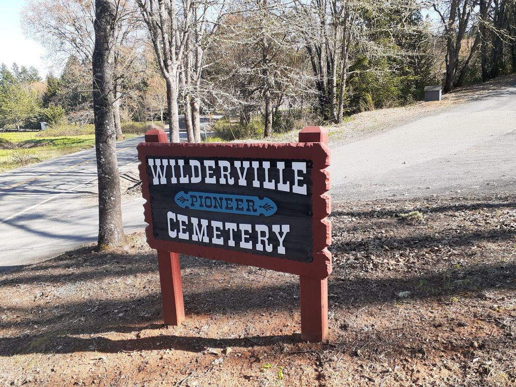
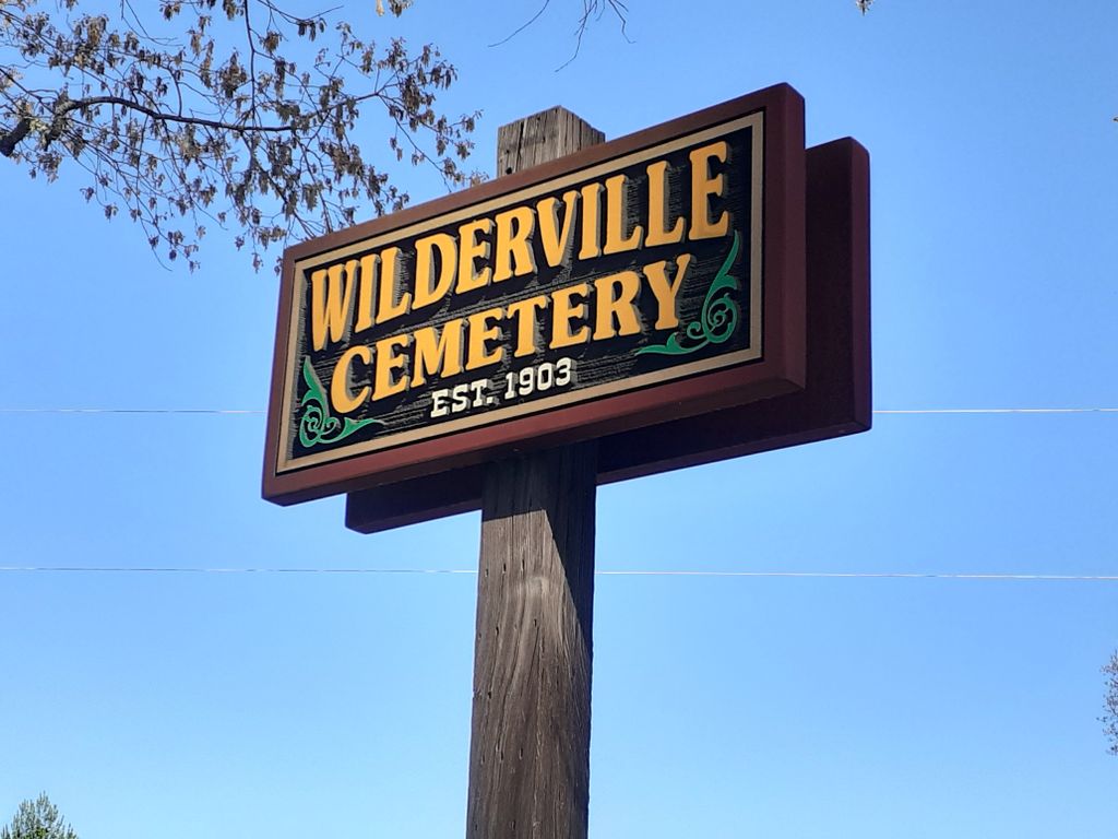
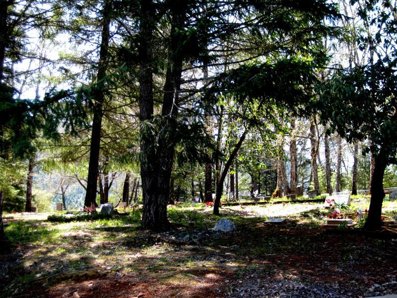
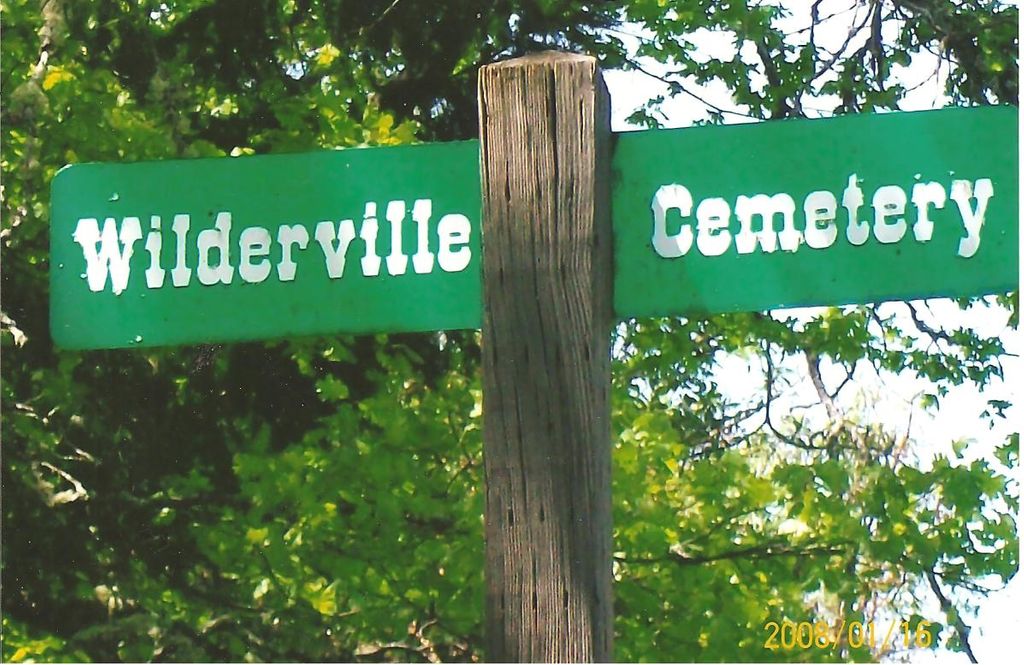
| Location | : | Wilderville, Josephine County, USA |
| Coordinate | : | 42.3792000, -123.4610977 |
frequently asked questions (FAQ):
-
Where is Wilderville Cemetery?
Wilderville Cemetery is located at Wilderville, Josephine County ,Oregon ,USA.
-
Wilderville Cemetery cemetery's updated grave count on graveviews.com?
0 memorials
-
Where are the coordinates of the Wilderville Cemetery?
Latitude: 42.3792000
Longitude: -123.4610977
Nearby Cemetories:
1. Sloan Cemetery
Grants Pass, Josephine County, USA
Coordinate: 42.4171982, -123.4606018
2. Ferrydale Cemetery
Josephine County, USA
Coordinate: 42.4625015, -123.4805984
3. Granite Hill Cemetery
Grants Pass, Josephine County, USA
Coordinate: 42.4458008, -123.3638992
4. Hawthorne Memorial Gardens
Grants Pass, Josephine County, USA
Coordinate: 42.4444008, -123.3610992
5. Buddenhagen Family Cemetery
Grants Pass, Josephine County, USA
Coordinate: 42.3195740, -123.3530760
6. St. Luke's Episcopal Church Columbarium
Grants Pass, Josephine County, USA
Coordinate: 42.4421760, -123.3278260
7. St. Luke's Episcopal Church Bonney Memorial Garden
Grants Pass, Josephine County, USA
Coordinate: 42.4423026, -123.3276066
8. Croxton Memorial Park
Grants Pass, Josephine County, USA
Coordinate: 42.4483870, -123.3150180
9. Hillcrest Memorial Park Cemetery
Grants Pass, Josephine County, USA
Coordinate: 42.4569000, -123.3156200
10. Grants Pass Masonic Pioneer Cemetery
Grants Pass, Josephine County, USA
Coordinate: 42.4372830, -123.2940890
11. IOOF Cemetery
Grants Pass, Josephine County, USA
Coordinate: 42.4372670, -123.2936080
12. Deer Creek Cemetery
Selma, Josephine County, USA
Coordinate: 42.2641983, -123.5682983
13. Selma Cemetery
Josephine County, USA
Coordinate: 42.2832985, -123.6153030
14. Hall Grave
Josephine County, USA
Coordinate: 42.5253020, -123.3666690
15. Pleasant Valley Cemetery
Grants Pass, Josephine County, USA
Coordinate: 42.5416985, -123.3833008
16. Pleasant Hill Cemetery
Hugo, Josephine County, USA
Coordinate: 42.5416070, -123.3826510
17. Gotcher Cemetery
Williams, Josephine County, USA
Coordinate: 42.2447014, -123.2752991
18. Sparlin Cemetery
Williams, Josephine County, USA
Coordinate: 42.2447014, -123.2716980
19. Missouri Flat Cemetery
Applegate, Jackson County, USA
Coordinate: 42.2989998, -123.2200012
20. Hartley Cemetery
Williams, Josephine County, USA
Coordinate: 42.2106018, -123.2891998
21. Bear Creek Vineyard Cemetery
Cave Junction, Josephine County, USA
Coordinate: 42.1605730, -123.5341720
22. Woodville Cemetery
Rogue River, Jackson County, USA
Coordinate: 42.4347000, -123.1583023
23. Laurel Cemetery
Cave Junction, Josephine County, USA
Coordinate: 42.1716995, -123.6346970
24. Dog Creek Cemetery
Leland, Josephine County, USA
Coordinate: 42.6358650, -123.4253590