| Memorials | : | 0 |
| Location | : | Clinton, Amador County, USA |
| Coordinate | : | 38.3750140, -120.6652150 |
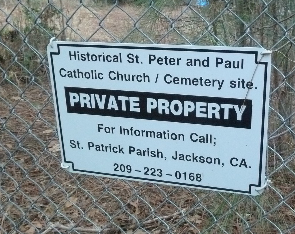
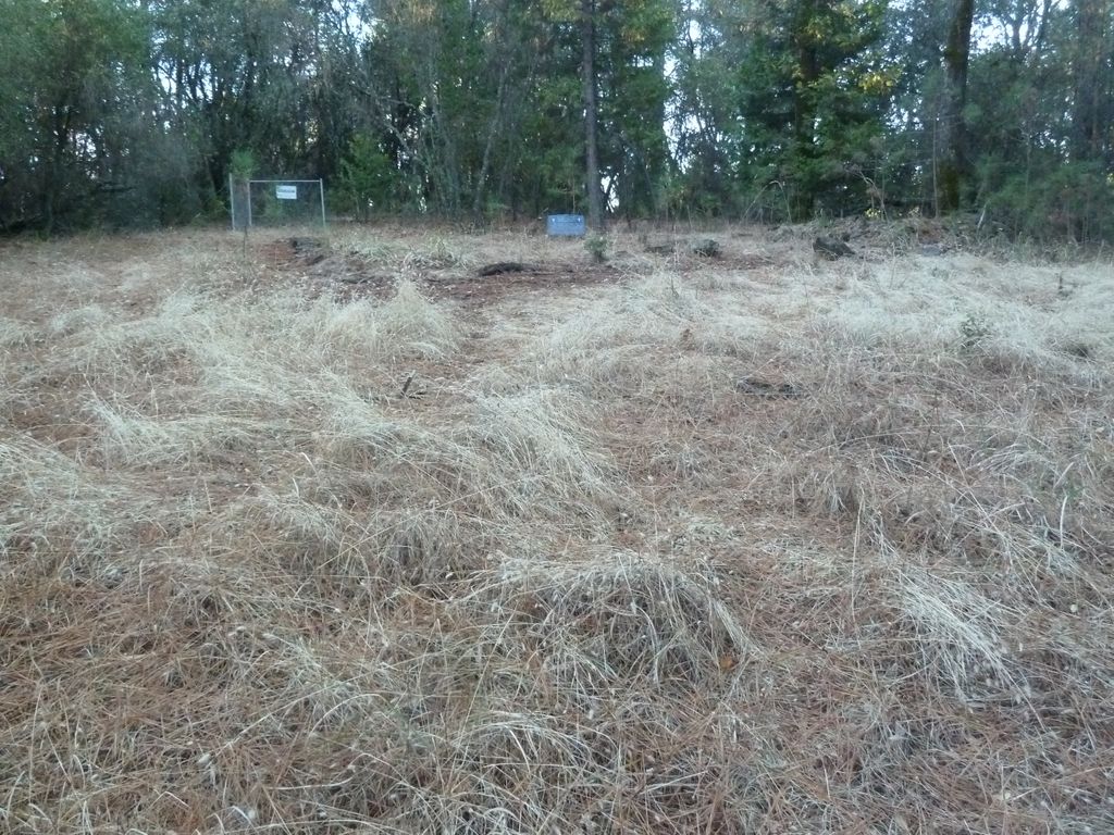
| Description | : | This is an abandoned former church and cemetery on private land. About 20 graves are believed to be here. No headstones exist although through researching family records, the names of many of the inhabitants will be added shortly. The church was built in 1877 by craftsman Giuseppe V. Garbarini of Clinton on land he and Andrea Arata donated. It was a San Francisco diocese mission church and was served by priests from other cities such as Fathers Slevin, DeCarlois, and Gleson (often spelled Gleason). It operated as a church until 1910 when it was converted... Read More |
frequently asked questions (FAQ):
-
Where is Saint Peter and Paul Catholic Cemetery?
Saint Peter and Paul Catholic Cemetery is located at Clinton, Amador County ,California ,USA.
-
Saint Peter and Paul Catholic Cemetery cemetery's updated grave count on graveviews.com?
0 memorials
-
Where are the coordinates of the Saint Peter and Paul Catholic Cemetery?
Latitude: 38.3750140
Longitude: -120.6652150
Nearby Cemetories:
1. Aqueduct City Cemetery
Pine Grove, Amador County, USA
Coordinate: 38.3978004, -120.6302872
2. Pine Grove Cemetery
Pine Grove, Amador County, USA
Coordinate: 38.4118780, -120.6596340
3. Baker Ranch Family Cemetery
Indian Creek, Calaveras County, USA
Coordinate: 38.3269500, -120.6208800
4. Danielson Ranch Cemetery
Glencoe, Calaveras County, USA
Coordinate: 38.3578440, -120.5738220
5. Volcano Protestant Cemetery
Volcano, Amador County, USA
Coordinate: 38.4449997, -120.6269989
6. Volcano Catholic Cemetery
Volcano, Amador County, USA
Coordinate: 38.4459991, -120.6279984
7. Albers Ranch Family Cemetery
Glencoe, Calaveras County, USA
Coordinate: 38.3601000, -120.5673600
8. Saint Thomas Aquinas Cemetery
Mokelumne Hill, Calaveras County, USA
Coordinate: 38.3027344, -120.7031784
9. Chinese Cemetery
Jackson, Amador County, USA
Coordinate: 38.3674680, -120.7655440
10. Mokelumne Hill Protestant Cemetery
Mokelumne Hill, Calaveras County, USA
Coordinate: 38.3023640, -120.7096420
11. Pioneer Jewish Cemetery
Mokelumne Hill, Calaveras County, USA
Coordinate: 38.3034096, -120.7138214
12. Pioneer Jewish Cemetery
Jackson, Amador County, USA
Coordinate: 38.3539790, -120.7724540
13. Jackson City Cemetery
Jackson, Amador County, USA
Coordinate: 38.3519640, -120.7731340
14. Saint Patrick Catholic Cemetery
Jackson, Amador County, USA
Coordinate: 38.3534780, -120.7742350
15. Amador County Museum
Jackson, Amador County, USA
Coordinate: 38.3507000, -120.7733900
16. Jackson Gate Perano Cemetery
Jackson, Amador County, USA
Coordinate: 38.3701640, -120.7778150
17. Saint Sava Serbian Orthodox Cemetery
Jackson, Amador County, USA
Coordinate: 38.3560530, -120.7764530
18. Jesus Maria Cemetery
Jesus Maria, Calaveras County, USA
Coordinate: 38.2835970, -120.6405370
19. Sandy Gulch Cemetery
West Point, Calaveras County, USA
Coordinate: 38.3815700, -120.5377900
20. Indian Cemetery
West Point, Calaveras County, USA
Coordinate: 38.3811400, -120.5348700
21. West Point Cemetery
West Point, Calaveras County, USA
Coordinate: 38.3999650, -120.5327220
22. Immaculate Conception Parish Cemetery
Sutter Creek, Amador County, USA
Coordinate: 38.3956980, -120.8063430
23. Sutter Creek City Cemetery
Sutter Creek, Amador County, USA
Coordinate: 38.3957520, -120.8091940
24. Independence Cemetery
Rail Road Flat, Calaveras County, USA
Coordinate: 38.3564230, -120.5202020


