
| Memorials | : | 0 |
| Location | : | Powell, Jefferson County, USA |
| Coordinate | : | 40.2015100, -97.2647950 |
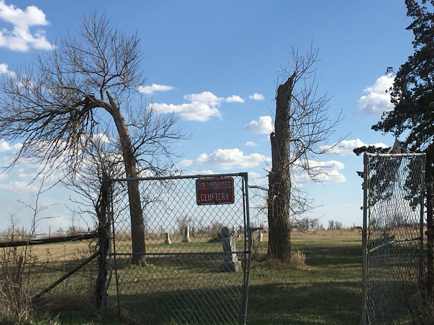
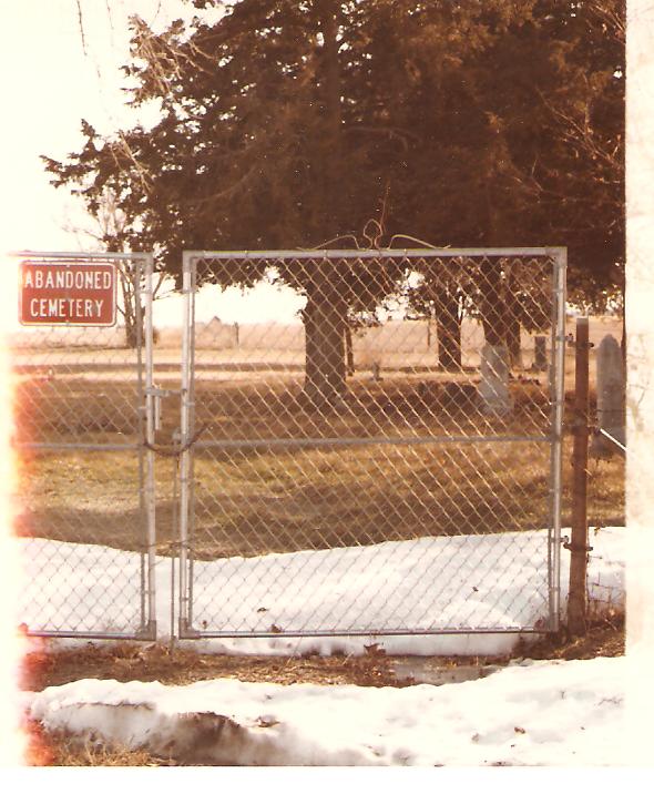
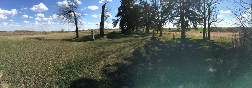
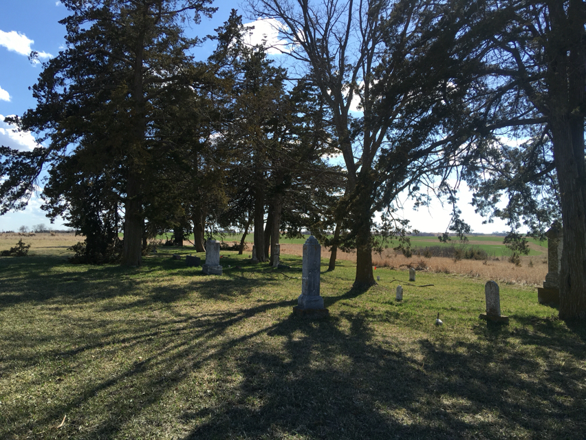
| Description | : | Cemetery is abandoned. Cattle have been allowed to pasture in it. Most tombstones have been lost.3 miles west of Fairbury on 136, 4 miles north, 1/2 mile west,1/2 mile south. Back in field, on hill. Information on many of names obtained from Jefferson County Historical Society, list of Cemeteries. |
frequently asked questions (FAQ):
-
Where is Moles Cemetery?
Moles Cemetery is located at Powell, Jefferson County ,Nebraska ,USA.
-
Moles Cemetery cemetery's updated grave count on graveviews.com?
0 memorials
-
Where are the coordinates of the Moles Cemetery?
Latitude: 40.2015100
Longitude: -97.2647950

Nearby Cemetories:
1. Powell Cemetery
Powell, Jefferson County, USA
Coordinate: 40.2332993, -97.2742004
2. Helvey Cemetery
Helvey, Jefferson County, USA
Coordinate: 40.2347354, -97.2533342
3. Pleasant Hill Cemetery
Jefferson County, USA
Coordinate: 40.1595910, -97.2573280
4. Zion United Church of Christ Cemetery
Gladstone, Jefferson County, USA
Coordinate: 40.1630000, -97.2910000
5. George Winslow Gravesite
Fairbury, Jefferson County, USA
Coordinate: 40.2074800, -97.2061580
6. Richland Center Cemetery
Jefferson County, USA
Coordinate: 40.2186012, -97.1900024
7. Meridian Presbyterian Cemetery
Meridian Township, Jefferson County, USA
Coordinate: 40.2178001, -97.3625031
8. Grace Lutheran Cemetery
Gladstone, Jefferson County, USA
Coordinate: 40.1620670, -97.3522350
9. Woltemath Lone Grave
Alexandria, Thayer County, USA
Coordinate: 40.2343600, -97.3691800
10. Catholic Cemetery
Alexandria, Thayer County, USA
Coordinate: 40.2202988, -97.3878021
11. Grandy Cemetery
Jansen, Jefferson County, USA
Coordinate: 40.1897011, -97.1324997
12. Bower Cemetery
Jefferson County, USA
Coordinate: 40.2621994, -97.1517029
13. Fairbury Cemetery
Fairbury, Jefferson County, USA
Coordinate: 40.1314011, -97.1557999
14. Bartel Cemetery
Jansen, Jefferson County, USA
Coordinate: 40.1903000, -97.1141968
15. Alexandria Cemetery
Alexandria, Thayer County, USA
Coordinate: 40.2489014, -97.4060974
16. Hunt Family Plot
Reynolds, Jefferson County, USA
Coordinate: 40.0868380, -97.3115940
17. Saint Johns Cemetery
Daykin, Jefferson County, USA
Coordinate: 40.3213997, -97.2830963
18. Mount Gilead Cemetery
Gilead, Thayer County, USA
Coordinate: 40.1906000, -97.4246500
19. Union Cemetery
Gilead, Thayer County, USA
Coordinate: 40.1319008, -97.4047012
20. Jansen Cemetery
Jansen, Jefferson County, USA
Coordinate: 40.1903000, -97.0958023
21. Immanuel Lutheran Church Cemetery
Daykin, Jefferson County, USA
Coordinate: 40.3207600, -97.1975100
22. Pleasant View Cemetery
Jefferson County, USA
Coordinate: 40.3204500, -97.1795800
23. Kennedy Lone Grave
Gilead, Thayer County, USA
Coordinate: 40.1715900, -97.4425500
24. Saint Pauls Church of Christ Cemetery
Jefferson County, USA
Coordinate: 40.2478480, -97.0808630