
| Memorials | : | 1 |
| Location | : | Reynolds, Jefferson County, USA |
| Coordinate | : | 40.0868380, -97.3115940 |
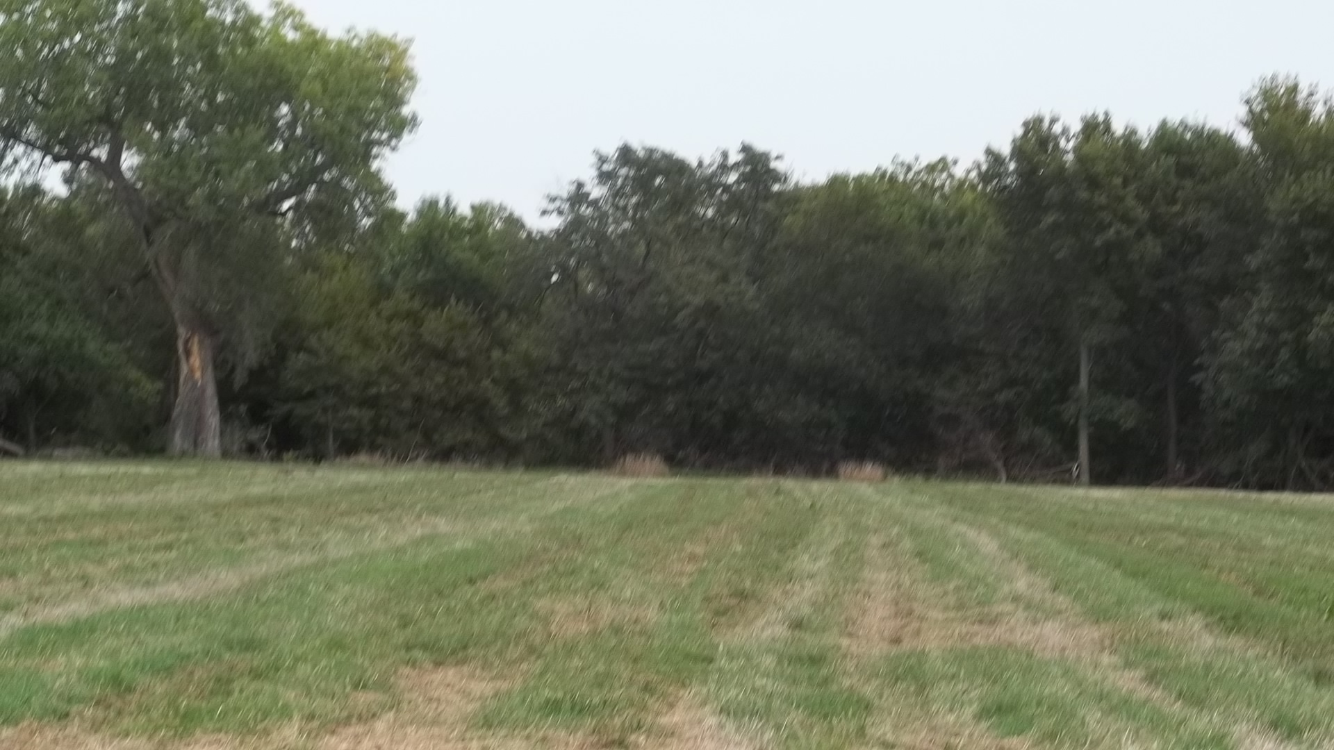
| Description | : | 1 mile east of Reynolds, 2 miles north, on east side of road short of creek. Currently on land owned by Jim Williams. All stones have been removed by previous owner Wayne Hansen and used as farm ground. It was along a fence line separating farm land from pasture, which has also been removed. |
frequently asked questions (FAQ):
-
Where is Hunt Family Plot?
Hunt Family Plot is located at Reynolds, Jefferson County ,Nebraska ,USA.
-
Hunt Family Plot cemetery's updated grave count on graveviews.com?
0 memorials
-
Where are the coordinates of the Hunt Family Plot?
Latitude: 40.0868380
Longitude: -97.3115940
Nearby Cemetories:
1. Huber Cemetery
Reynolds, Jefferson County, USA
Coordinate: 40.0493000, -97.3085000
2. Rose Creek Cemetery
Rose Creek Township, Thayer County, USA
Coordinate: 40.0705986, -97.3694000
3. Silver Creek Cemetery
Jefferson County, USA
Coordinate: 40.0522003, -97.2367020
4. Zion United Church of Christ Cemetery
Gladstone, Jefferson County, USA
Coordinate: 40.1630000, -97.2910000
5. Grace Lutheran Cemetery
Gladstone, Jefferson County, USA
Coordinate: 40.1620670, -97.3522350
6. Pleasant Hill Cemetery
Jefferson County, USA
Coordinate: 40.1595910, -97.2573280
7. Union Cemetery
Gilead, Thayer County, USA
Coordinate: 40.1319008, -97.4047012
8. Saint Paul's Lutheran Church Cemetery
Gilead, Thayer County, USA
Coordinate: 40.1108000, -97.4449000
9. Williams Cemetery
Thayer County, USA
Coordinate: 40.0321999, -97.4349976
10. Moles Cemetery
Powell, Jefferson County, USA
Coordinate: 40.2015100, -97.2647950
11. Zion Lutheran Cemetery
Hubbell, Thayer County, USA
Coordinate: 40.0437400, -97.4629400
12. Fairbury Cemetery
Fairbury, Jefferson County, USA
Coordinate: 40.1314011, -97.1557999
13. Kennedy Lone Grave
Gilead, Thayer County, USA
Coordinate: 40.1715900, -97.4425500
14. Mount Gilead Cemetery
Gilead, Thayer County, USA
Coordinate: 40.1906000, -97.4246500
15. Meridian Presbyterian Cemetery
Meridian Township, Jefferson County, USA
Coordinate: 40.2178001, -97.3625031
16. McCord Boothill Cemetery
Jefferson County, USA
Coordinate: 40.0248222, -97.1463915
17. George Winslow Gravesite
Fairbury, Jefferson County, USA
Coordinate: 40.2074800, -97.2061580
18. Catholic Cemetery
Alexandria, Thayer County, USA
Coordinate: 40.2202988, -97.3878021
19. Powell Cemetery
Powell, Jefferson County, USA
Coordinate: 40.2332993, -97.2742004
20. Woltemath Lone Grave
Alexandria, Thayer County, USA
Coordinate: 40.2343600, -97.3691800
21. Helvey Cemetery
Helvey, Jefferson County, USA
Coordinate: 40.2347354, -97.2533342
22. Maple Grove Cemetery
Narka, Republic County, USA
Coordinate: 39.9728012, -97.4550018
23. Richland Center Cemetery
Jefferson County, USA
Coordinate: 40.2186012, -97.1900024
24. Hubbell Cemetery
Rose Creek Township, Republic County, USA
Coordinate: 40.0000790, -97.5002770