
| Memorials | : | 0 |
| Location | : | Brown County, USA |
| Coordinate | : | 39.2994194, -86.0928116 |
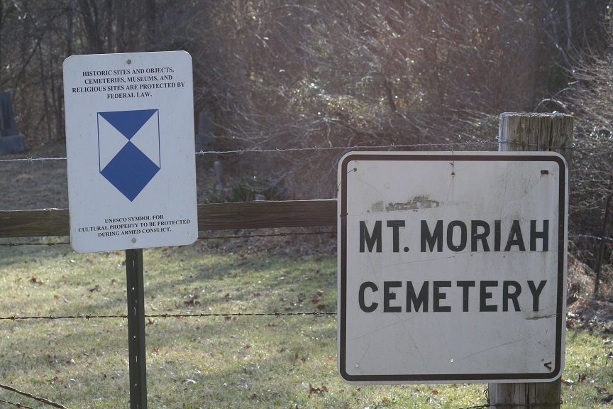
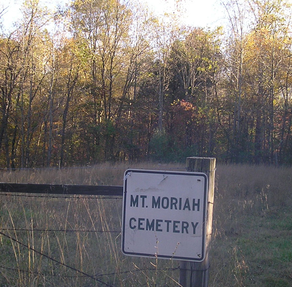
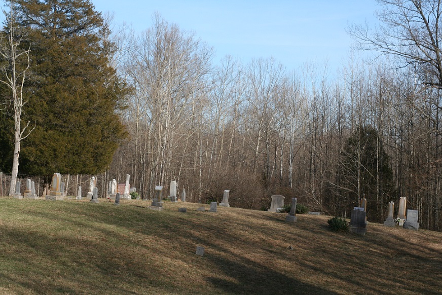
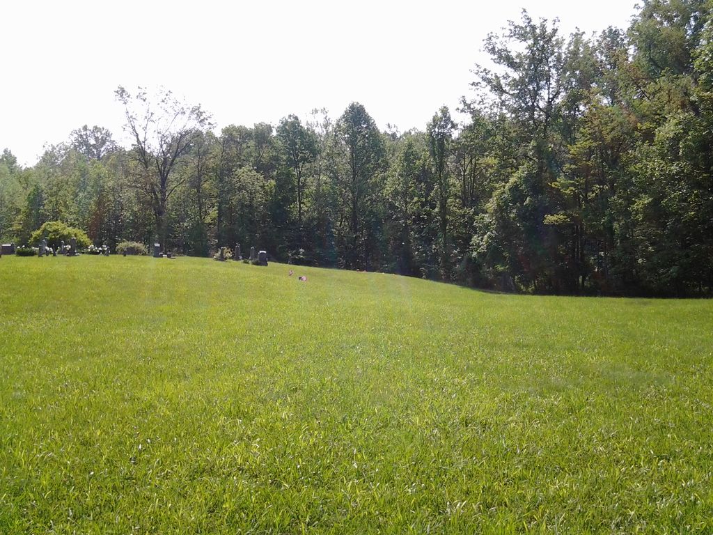
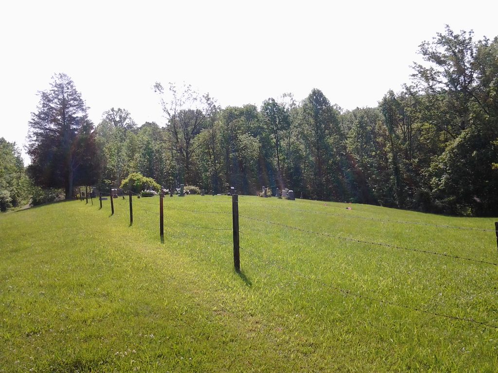
| Description | : | Anderson Cemetery is located in Hamblen Township Northwest corner of the NE¼ of Section 21; Township 10N; Range 4E. Originally in what once was the community of Mt. Moriah, the cemetery lies on the south side of Mt. Moriah Road, within Camp Atterbury Military Reservation, ¼ mile west of the Brown County-Bartholomew County line. There are some unmarked graves. Joseph Anderson bought land from the U.S.A. in this Section in 1837. The cemetery was first called New Bethel Cemetery after the church that was formerly located here, New Bethel Christian Church. |
frequently asked questions (FAQ):
-
Where is Mount Moriah Cemetery?
Mount Moriah Cemetery is located at Brown County ,Indiana ,USA.
-
Mount Moriah Cemetery cemetery's updated grave count on graveviews.com?
0 memorials
-
Where are the coordinates of the Mount Moriah Cemetery?
Latitude: 39.2994194
Longitude: -86.0928116
Nearby Cemetories:
1. Anderson Cemetery
Hamblen Township, Brown County, USA
Coordinate: 39.2989006, -86.0961075
2. Bocock Cemetery
Hamblen Township, Brown County, USA
Coordinate: 39.3138000, -86.1048000
3. Milnes Cemetery
Brown County, USA
Coordinate: 39.2845500, -86.1062530
4. Guthrie Cemetery
Kansas, Bartholomew County, USA
Coordinate: 39.2892700, -86.0678200
5. Ohio Ridge Graveyard
Kansas, Bartholomew County, USA
Coordinate: 39.2717900, -86.0724300
6. Wilder Cemetery
Kansas, Bartholomew County, USA
Coordinate: 39.3314950, -86.0722800
7. Waltz Cemetery
Brown County, USA
Coordinate: 39.2554660, -86.0937880
8. Taylor Cemetery
Christiansburg, Brown County, USA
Coordinate: 39.2743149, -86.1396332
9. Handy Cemetery
Spearsville, Brown County, USA
Coordinate: 39.3364780, -86.1243850
10. Hamblen-Taylor Cemetery
Brown County, USA
Coordinate: 39.2672234, -86.1428146
11. Taggart Cemetery
Brown County, USA
Coordinate: 39.2634811, -86.1400681
12. Zion Church Cemetery
Brown County, USA
Coordinate: 39.2762020, -86.1538840
13. Kansas Cemetery
Kansas, Bartholomew County, USA
Coordinate: 39.3293991, -86.0322037
14. Walker Cemetery
Beanblossom, Brown County, USA
Coordinate: 39.2929660, -86.1662650
15. Dean Cemetery
Hamblen Township, Brown County, USA
Coordinate: 39.3101080, -86.1661680
16. Duncan Cemetery
Spearsville, Brown County, USA
Coordinate: 39.3349991, -86.1539001
17. Mount Olive Graveyard
Johnson County, USA
Coordinate: 39.3431511, -86.1476898
18. Chappell Cemetery
Hamblen Township, Brown County, USA
Coordinate: 39.2732320, -86.1674120
19. Nineveh Christian Church Cemetery
Nineveh, Johnson County, USA
Coordinate: 39.3621674, -86.0793610
20. Jacobs Cemetery
Johnson County, USA
Coordinate: 39.3662470, -86.0855440
21. Sprunica Church Cemetery
Hamblen Township, Brown County, USA
Coordinate: 39.2834167, -86.1782150
22. Powell Cemetery
Hamblen Township, Brown County, USA
Coordinate: 39.2303330, -86.0818330
23. Old Nineveh Cemetery
Nineveh, Johnson County, USA
Coordinate: 39.3669624, -86.0665817
24. Lickspring Baptist Church Cemetery
Trafalgar, Johnson County, USA
Coordinate: 39.3646469, -86.1276016