
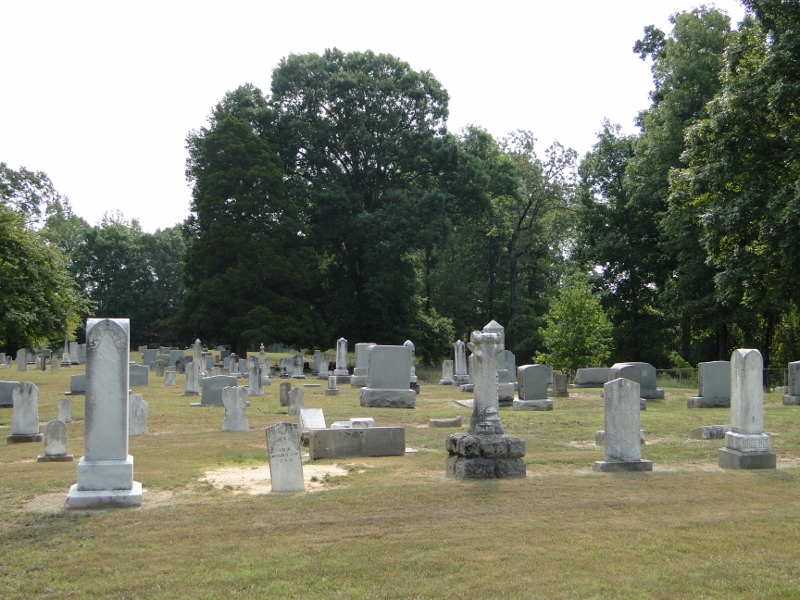
| Memorials | : | 0 |
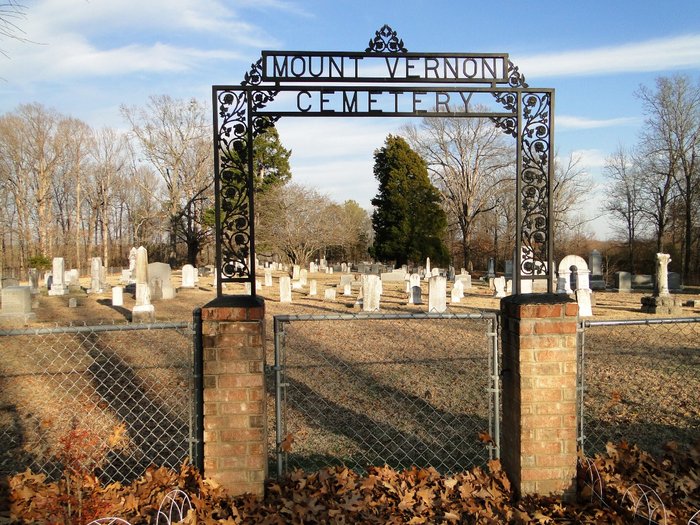
| Location | : | Looxahoma, Tate County, USA |
| Coordinate | : | 34.5765310, -89.7735120 |
| Description | : | From the intersection of Lyles Rd. & MS-4 E, near the Looxahoma Ch. of Christ east of Senatobia, travel south on Lyles Rd. for 1.0 mi.; turning east (left) onto Looxahoma-Tyro Rd., going 1.5 mi.; turning south (right) to continue on Looxahoma Rd., going 2.5 mi.; turning south (right) onto Mt. Vernon Rd., going 1.0 mi.; turning east (left) going 100 yards towards the Mt. Vernon UMC church, into their parking area, walking east to their 'deeded' cemetery, as notated on USGS topo maps. |
frequently asked questions (FAQ):
-
Where is Mount Vernon Church Cemetery?
Mount Vernon Church Cemetery is located at 968 Mt Vernon Road Looxahoma, Tate County ,Mississippi , 38668USA.
-
Mount Vernon Church Cemetery cemetery's updated grave count on graveviews.com?
0 memorials
-
Where are the coordinates of the Mount Vernon Church Cemetery?
Latitude: 34.5765310
Longitude: -89.7735120
Nearby Cemetories:
1. Lewers Chapel Cemetery
Looxahoma, Tate County, USA
Coordinate: 34.5843040, -89.8098900
2. Independent M.B. Church Cemetery
Tyro, Tate County, USA
Coordinate: 34.6020280, -89.7398360
3. Wright-Sandidge Cemetery
Tyro, Tate County, USA
Coordinate: 34.5978278, -89.7279694
4. Mount Patient CME Church Cemetery
Tyro, Tate County, USA
Coordinate: 34.5887370, -89.7160400
5. Tyro Church Cemetery
Tyro, Tate County, USA
Coordinate: 34.5825570, -89.7128080
6. Zion Hill-Barr Church Cemetery
Tate County, USA
Coordinate: 34.6262520, -89.7849790
7. Ebenezer Cemetery
Panola County, USA
Coordinate: 34.5250015, -89.7600021
8. Looxahoma Cemetery
Senatobia, Tate County, USA
Coordinate: 34.5980280, -89.8343410
9. Glenville Cemetery
Como, Panola County, USA
Coordinate: 34.5283012, -89.7397003
10. Beulah Cemetery
Panola County, USA
Coordinate: 34.5275002, -89.8106003
11. Mount Moriah Missionary Baptist Church Cemetery
Panola County, USA
Coordinate: 34.5345890, -89.8236370
12. Brownlee Cemetery
Senatobia, Tate County, USA
Coordinate: 34.6265480, -89.8113390
13. Saint Maria Cemetery
Panola County, USA
Coordinate: 34.5339012, -89.8236008
14. Langstons Cemetery
Lafayette County, USA
Coordinate: 34.5367012, -89.7161026
15. Looxahoma Church of Christ Cemetery
Looxahoma, Tate County, USA
Coordinate: 34.6119930, -89.8361240
16. House Cemetery
Barr, Tate County, USA
Coordinate: 34.6390250, -89.7852380
17. Thyatira Sunset Cemetery
Thyatira, Tate County, USA
Coordinate: 34.6389770, -89.7572090
18. Thyatira Cemetery
Thyatira, Tate County, USA
Coordinate: 34.6393470, -89.7562520
19. McCravey Cemetery
Tyro, Tate County, USA
Coordinate: 34.5923000, -89.6976000
20. Mount Peryn Cemetery
Tyro, Tate County, USA
Coordinate: 34.5544014, -89.6947021
21. McGraw Cemetery
Piera, Lafayette County, USA
Coordinate: 34.5513200, -89.6951300
22. Hunter Cemetery
Aiken, Tate County, USA
Coordinate: 34.6258200, -89.7123200
23. Propst Cemetery
Piera, Lafayette County, USA
Coordinate: 34.5502600, -89.6921200
24. Carter Sunset Memorial Gardens
Tyro, Tate County, USA
Coordinate: 34.6349983, -89.7219009