
| Memorials | : | 15 |
| Location | : | Mount Pleasant, Jefferson County, USA |
| Coordinate | : | 39.2575322, -77.9485543 |
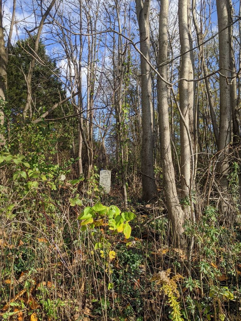
| Description | : | Mt. Zion A.M.E. Church in the community of Mt. Pleasant, West Virginia was established in1870, the same year Mt. Zion A.M.E. in Duffields, West Virginia was founded. The property on which the Mt. Pleasant A.M.E. Church stood was sold by John J. and Mary E. Grantham for $85.00 to John Thornton, Adrian D. Berry, George Ranson, Charles E. Wheeler, and Frank Rockenbaugh. A later deed, dated March 3, 1898 lists Jeremiah Cuffy and Pauline M. Cuffy of Northhampton County, Virginia, as sellers. The transfer was made to the trustees of the African Methodist... Read More |
frequently asked questions (FAQ):
-
Where is Mount Zion A.M.E. Church Cemetery?
Mount Zion A.M.E. Church Cemetery is located at Mount Pleasant, Jefferson County ,West Virginia ,USA.
-
Mount Zion A.M.E. Church Cemetery cemetery's updated grave count on graveviews.com?
15 memorials
-
Where are the coordinates of the Mount Zion A.M.E. Church Cemetery?
Latitude: 39.2575322
Longitude: -77.9485543
Nearby Cemetories:
1. Bullskin Presbyterian Churchyard
Summit Point, Jefferson County, USA
Coordinate: 39.2372940, -77.9578650
2. Prosperity Baptist Church Cemetery
Summit Point, Jefferson County, USA
Coordinate: 39.2387730, -77.9843590
3. Peter K. Johnson Farm Graveyard
Charles Town, Jefferson County, USA
Coordinate: 39.2617536, -77.9051369
4. Jamestown Cemetery
Summit Point, Jefferson County, USA
Coordinate: 39.2346800, -77.9842300
5. Quaker Cemetery
Charles Town, Jefferson County, USA
Coordinate: 39.2442586, -77.9017906
6. Weaver Family Cemetery
Middleway, Jefferson County, USA
Coordinate: 39.2981410, -77.9846050
7. Washington Burial Ground
Charles Town, Jefferson County, USA
Coordinate: 39.3020379, -77.9163828
8. Locust Grove Cemetery
Franklintown, Jefferson County, USA
Coordinate: 39.2080990, -77.9307680
9. Watson Graveyard
Middleway, Jefferson County, USA
Coordinate: 39.3019000, -77.9822250
10. Burns Family Cemetery
Franklintown, Jefferson County, USA
Coordinate: 39.2077485, -77.9308778
11. Old School Baptist Churchyard
Rippon, Jefferson County, USA
Coordinate: 39.2167850, -77.9073720
12. Middleway Masonic Cemetery
Middleway, Jefferson County, USA
Coordinate: 39.3035860, -77.9800060
13. Grace Episcopal Church Cemetery
Middleway, Jefferson County, USA
Coordinate: 39.3035011, -77.9806976
14. Union Church Cemetery
Middleway, Jefferson County, USA
Coordinate: 39.3041560, -77.9817900
15. Lock Family Cemetery
Wheatland, Jefferson County, USA
Coordinate: 39.2273780, -77.8872300
16. Stones Chapel Cemetery
Clarke County, USA
Coordinate: 39.2261009, -78.0105972
17. Fairview Cemetery
Gibsontown, Jefferson County, USA
Coordinate: 39.2695650, -77.8756210
18. Crums Cemetery
Berryville, Clarke County, USA
Coordinate: 39.2092018, -78.0018997
19. Fox Middleway Cemetery Lot
Kearneysville, Jefferson County, USA
Coordinate: 39.3225720, -77.9562790
20. Priestfield Pastoral Center Cemetery
Middleway, Jefferson County, USA
Coordinate: 39.3185143, -77.9886678
21. Snider Cemetery
Jones Springs, Berkeley County, USA
Coordinate: 39.2912590, -78.0344780
22. Asbury United Methodist Church Cemetery
Charles Town, Jefferson County, USA
Coordinate: 39.2905350, -77.8620834
23. Kabletown Churchyard
Kabletown, Jefferson County, USA
Coordinate: 39.2215881, -77.8597183
24. Zion Episcopal Churchyard
Charles Town, Jefferson County, USA
Coordinate: 39.2890400, -77.8566600