
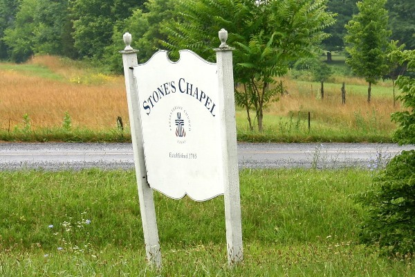
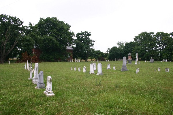
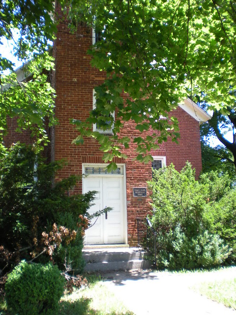
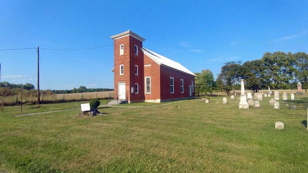
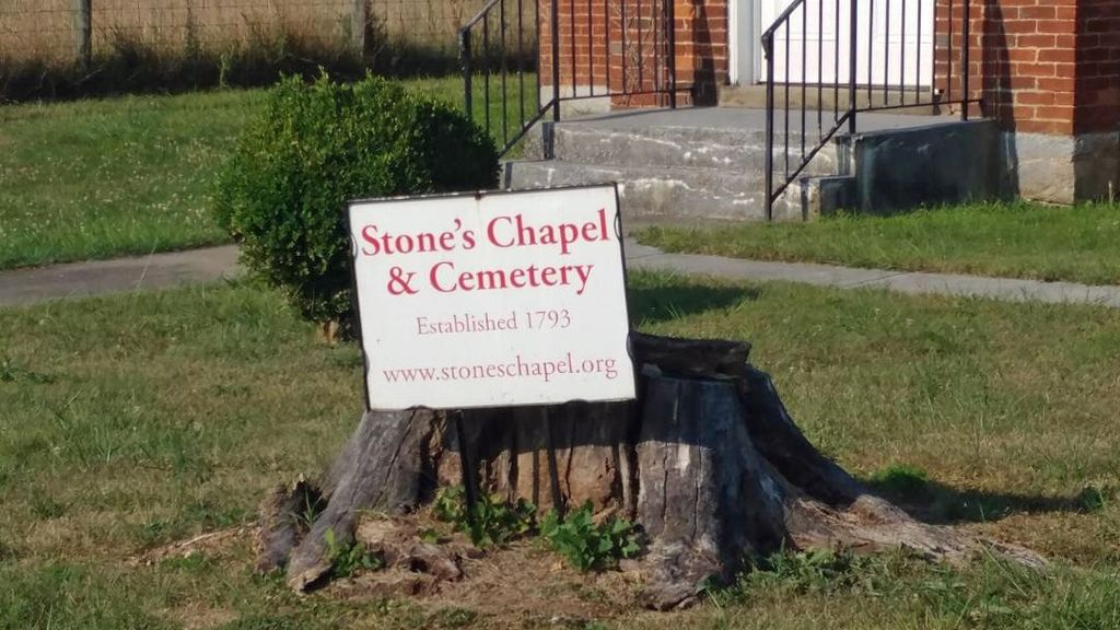
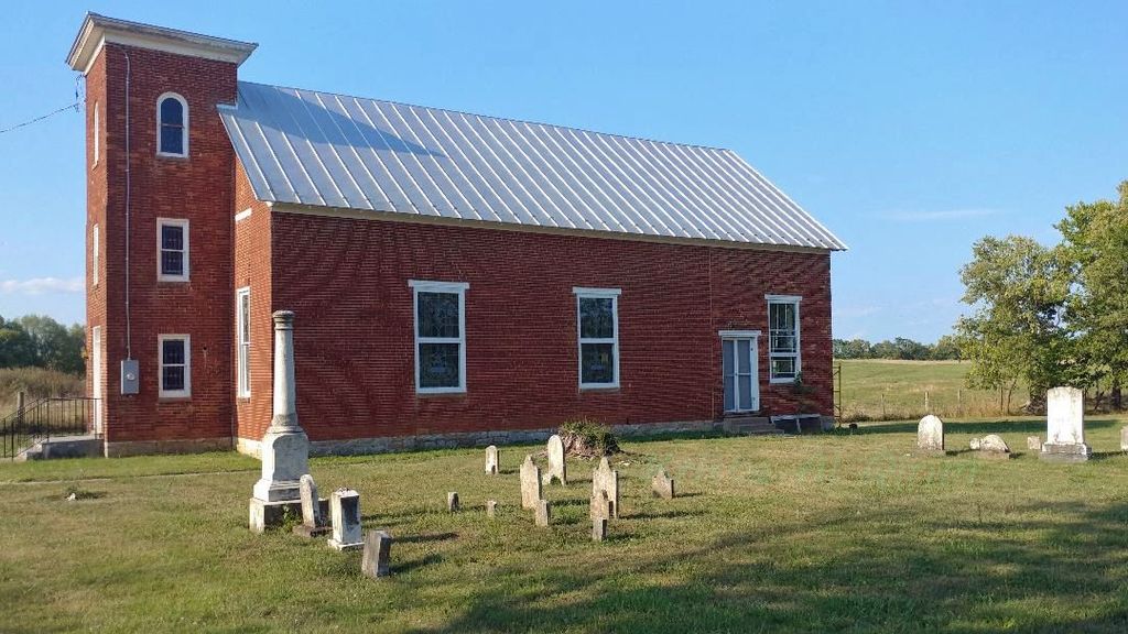
| Memorials | : | 1 |
| Location | : | Clarke County, USA |
| Coordinate | : | 39.2261009, -78.0105972 |
frequently asked questions (FAQ):
-
Where is Stones Chapel Cemetery?
Stones Chapel Cemetery is located at Clarke County ,Virginia ,USA.
-
Stones Chapel Cemetery cemetery's updated grave count on graveviews.com?
0 memorials
-
Where are the coordinates of the Stones Chapel Cemetery?
Latitude: 39.2261009
Longitude: -78.0105972
Nearby Cemetories:
1. Crums Cemetery
Berryville, Clarke County, USA
Coordinate: 39.2092018, -78.0018997
2. Jamestown Cemetery
Summit Point, Jefferson County, USA
Coordinate: 39.2346800, -77.9842300
3. Prosperity Baptist Church Cemetery
Summit Point, Jefferson County, USA
Coordinate: 39.2387730, -77.9843590
4. Jabbers Hill Cemetery
Clear Brook, Frederick County, USA
Coordinate: 39.2472000, -78.0505981
5. Bullskin Presbyterian Churchyard
Summit Point, Jefferson County, USA
Coordinate: 39.2372940, -77.9578650
6. Brucetown United Methodist Church Cemetery
Clear Brook, Frederick County, USA
Coordinate: 39.2524986, -78.0606003
7. Russell Family Cemetery Rock Hall
Berryville, Clarke County, USA
Coordinate: 39.1748210, -78.0211690
8. Kitchen-Gaunt Family Cemetery
Longmarsh Acres, Clarke County, USA
Coordinate: 39.1729300, -78.0180500
9. Grace Bible Fellowship Cemetery
Clear Brook, Frederick County, USA
Coordinate: 39.2643747, -78.0620388
10. Thomas Blakemore Family Farm Cemetery
Berryville, Clarke County, USA
Coordinate: 39.1724620, -77.9900770
11. Mount Zion A.M.E. Church Cemetery
Mount Pleasant, Jefferson County, USA
Coordinate: 39.2575322, -77.9485543
12. Burnt Factory United Methodist Church Cemetery
Burnt Factory, Frederick County, USA
Coordinate: 39.1949005, -78.0755005
13. Locust Grove Cemetery
Franklintown, Jefferson County, USA
Coordinate: 39.2080990, -77.9307680
14. Burns Family Cemetery
Franklintown, Jefferson County, USA
Coordinate: 39.2077485, -77.9308778
15. Snider Cemetery
Jones Springs, Berkeley County, USA
Coordinate: 39.2912590, -78.0344780
16. Redbud Cemetery
Burnt Factory, Frederick County, USA
Coordinate: 39.1918983, -78.0916977
17. Paynes Chapel Cemetery
Bunker Hill, Berkeley County, USA
Coordinate: 39.2897700, -78.0539900
18. Green Hill Cemetery
Berryville, Clarke County, USA
Coordinate: 39.1581001, -77.9768982
19. Weaver Family Cemetery
Middleway, Jefferson County, USA
Coordinate: 39.2981410, -77.9846050
20. AME Church Cemetery
Berryville, Clarke County, USA
Coordinate: 39.1541940, -77.9803560
21. Berryville Baptist Church Cemetery
Berryville, Clarke County, USA
Coordinate: 39.1534060, -77.9826350
22. Grace Episcopal Church Cemetery
Berryville, Clarke County, USA
Coordinate: 39.1524390, -77.9800680
23. Redbud United Methodist Church Cemetery
Frederick County, USA
Coordinate: 39.1925000, -78.1019400
24. Watson Graveyard
Middleway, Jefferson County, USA
Coordinate: 39.3019000, -77.9822250