
| Memorials | : | 1 |
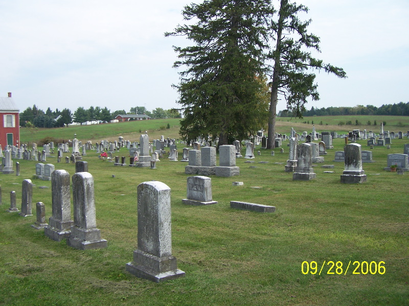
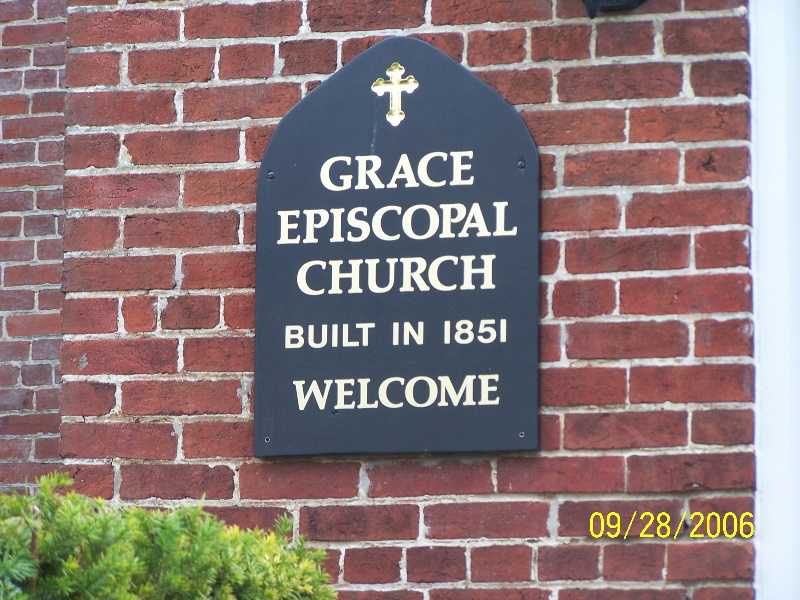
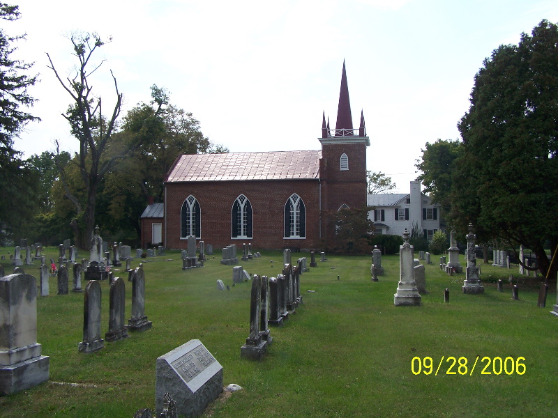
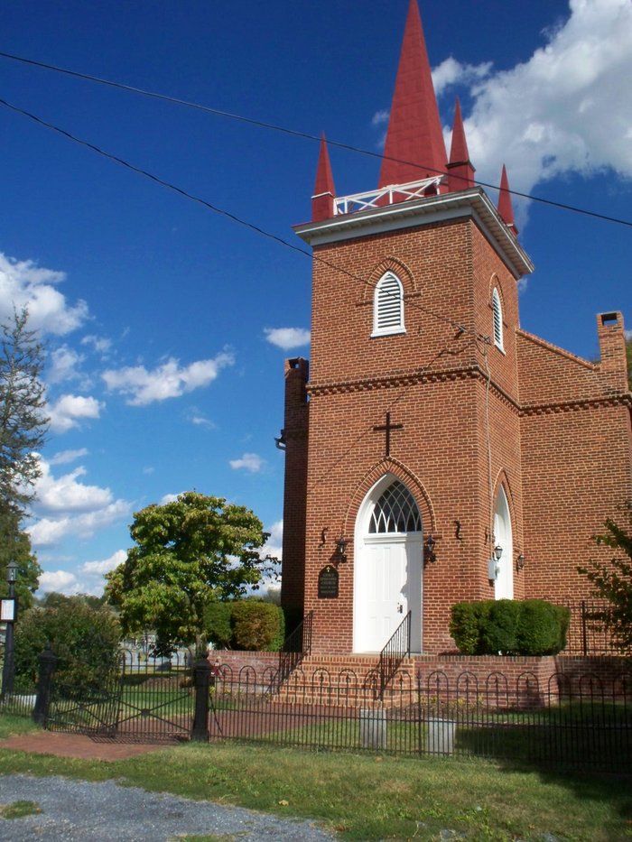
| Location | : | Middleway, Jefferson County, USA |
| Phone | : | 304-725-7073 |
| Website | : | www.gracechurchmiddleway.org |
| Coordinate | : | 39.3035011, -77.9806976 |
| Description | : | Email: grac[email protected] |
frequently asked questions (FAQ):
-
Where is Grace Episcopal Church Cemetery?
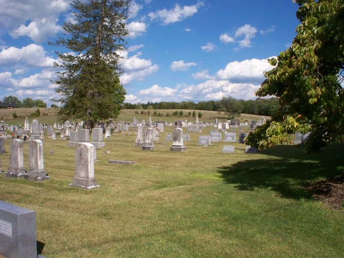
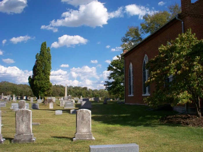
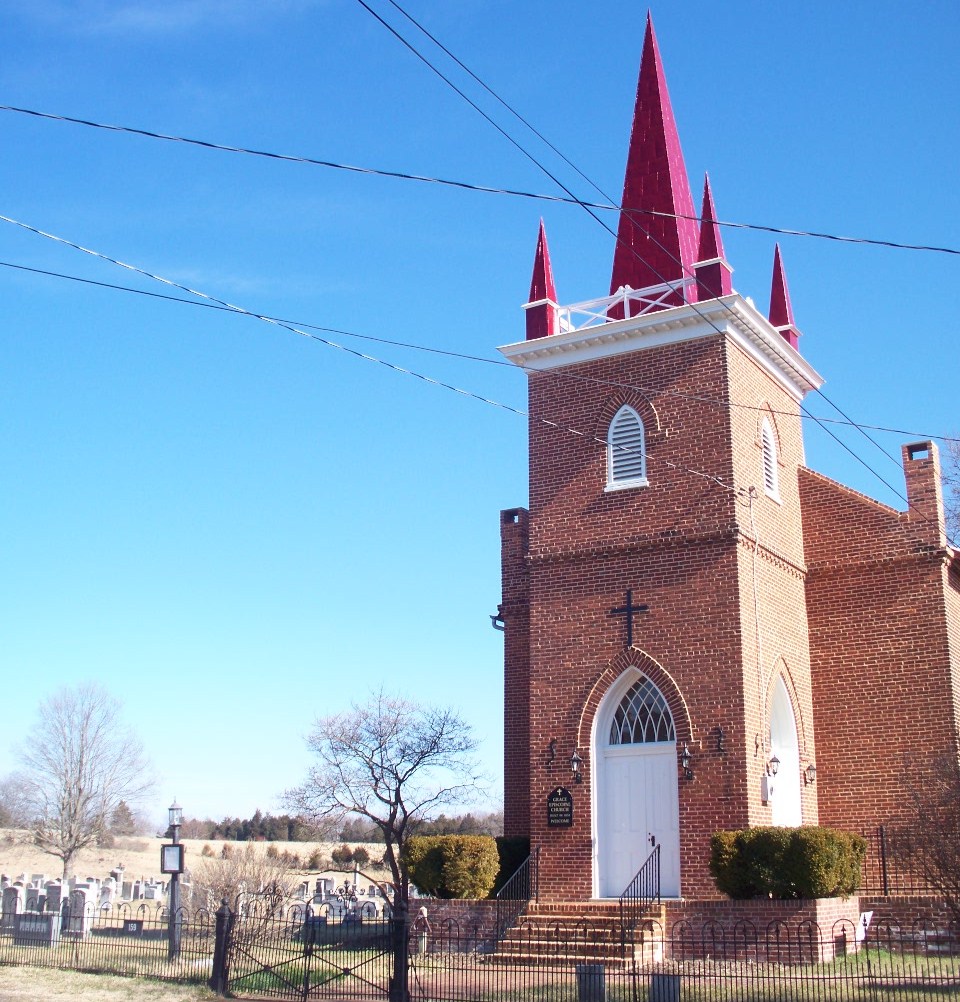
Grace Episcopal Church Cemetery is located at 159 East Street Middleway, Jefferson County ,West Virginia , 25430-5690USA.
-
Grace Episcopal Church Cemetery cemetery's updated grave count on graveviews.com?
1 memorials
-
Where are the coordinates of the Grace Episcopal Church Cemetery?
Latitude: 39.3035011
Longitude: -77.9806976
Nearby Cemetories:
1. Middleway Masonic Cemetery
Middleway, Jefferson County, USA
Coordinate: 39.3035860, -77.9800060
2. Union Church Cemetery
Middleway, Jefferson County, USA
Coordinate: 39.3041560, -77.9817900
3. Watson Graveyard
Middleway, Jefferson County, USA
Coordinate: 39.3019000, -77.9822250
4. Weaver Family Cemetery
Middleway, Jefferson County, USA
Coordinate: 39.2981410, -77.9846050
5. Priestfield Pastoral Center Cemetery
Middleway, Jefferson County, USA
Coordinate: 39.3185143, -77.9886678
6. Fox Middleway Cemetery Lot
Kearneysville, Jefferson County, USA
Coordinate: 39.3225720, -77.9562790
7. Mountain View Church of the Brethren Cemetery
Inwood, Berkeley County, USA
Coordinate: 39.3320600, -78.0146000
8. Snider Cemetery
Jones Springs, Berkeley County, USA
Coordinate: 39.2912590, -78.0344780
9. Cedar Grove Christian Church Cemetery
Inwood, Berkeley County, USA
Coordinate: 39.3476900, -77.9884700
10. Washington Burial Ground
Charles Town, Jefferson County, USA
Coordinate: 39.3020379, -77.9163828
11. Saint Leo Cemetery
Inwood, Berkeley County, USA
Coordinate: 39.3541985, -77.9876022
12. Mount Zion A.M.E. Church Cemetery
Mount Pleasant, Jefferson County, USA
Coordinate: 39.2575322, -77.9485543
13. Paynes Chapel Cemetery
Bunker Hill, Berkeley County, USA
Coordinate: 39.2897700, -78.0539900
14. Mount Tabor Church Cemetery
Bunker Hill, Berkeley County, USA
Coordinate: 39.3317032, -78.0534286
15. Poor Farm Cemetery
Kearneysville, Jefferson County, USA
Coordinate: 39.3345590, -77.9094350
16. Prosperity Baptist Church Cemetery
Summit Point, Jefferson County, USA
Coordinate: 39.2387730, -77.9843590
17. Saint Bartholomews Episcopal Church Cemetery
Leetown, Jefferson County, USA
Coordinate: 39.3553800, -77.9269900
18. Bunker Hill Cemetery
Bunker Hill, Berkeley County, USA
Coordinate: 39.3339005, -78.0585022
19. Bullskin Presbyterian Churchyard
Summit Point, Jefferson County, USA
Coordinate: 39.2372940, -77.9578650
20. Jamestown Cemetery
Summit Point, Jefferson County, USA
Coordinate: 39.2346800, -77.9842300
21. Peter K. Johnson Farm Graveyard
Charles Town, Jefferson County, USA
Coordinate: 39.2617536, -77.9051369
22. Grace Bible Fellowship Cemetery
Clear Brook, Frederick County, USA
Coordinate: 39.2643747, -78.0620388
23. Jabbers Hill Cemetery
Clear Brook, Frederick County, USA
Coordinate: 39.2472000, -78.0505981
24. Johnsontown Cemetery
Johnsontown, Jefferson County, USA
Coordinate: 39.3404200, -77.8910700