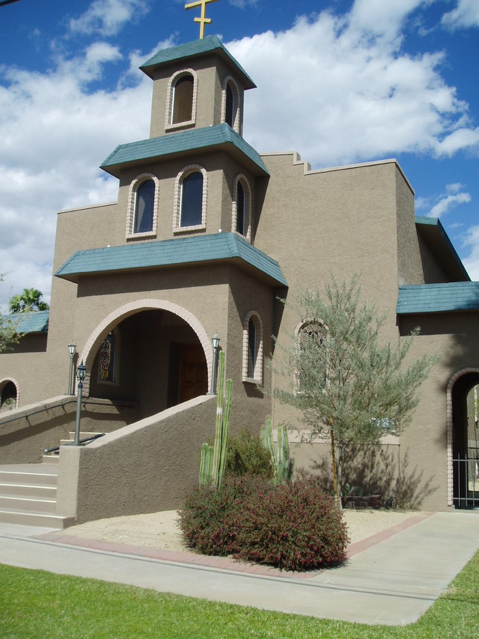
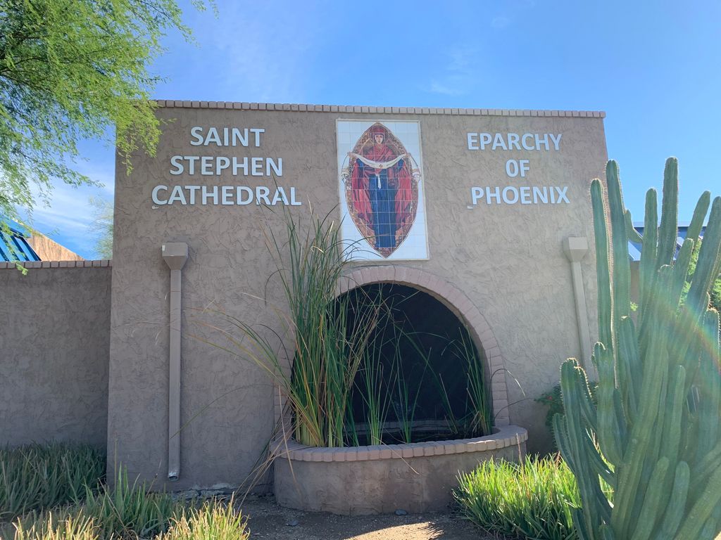
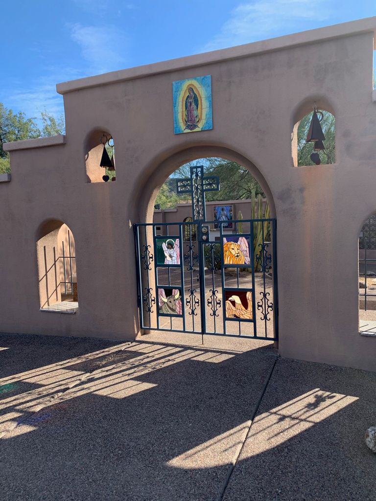
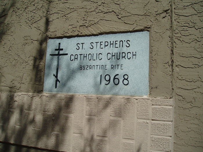
| Memorials | : | 0 |
| Location | : | Phoenix, Maricopa County, USA |
| Coordinate | : | 33.5563786, -112.0479130 |
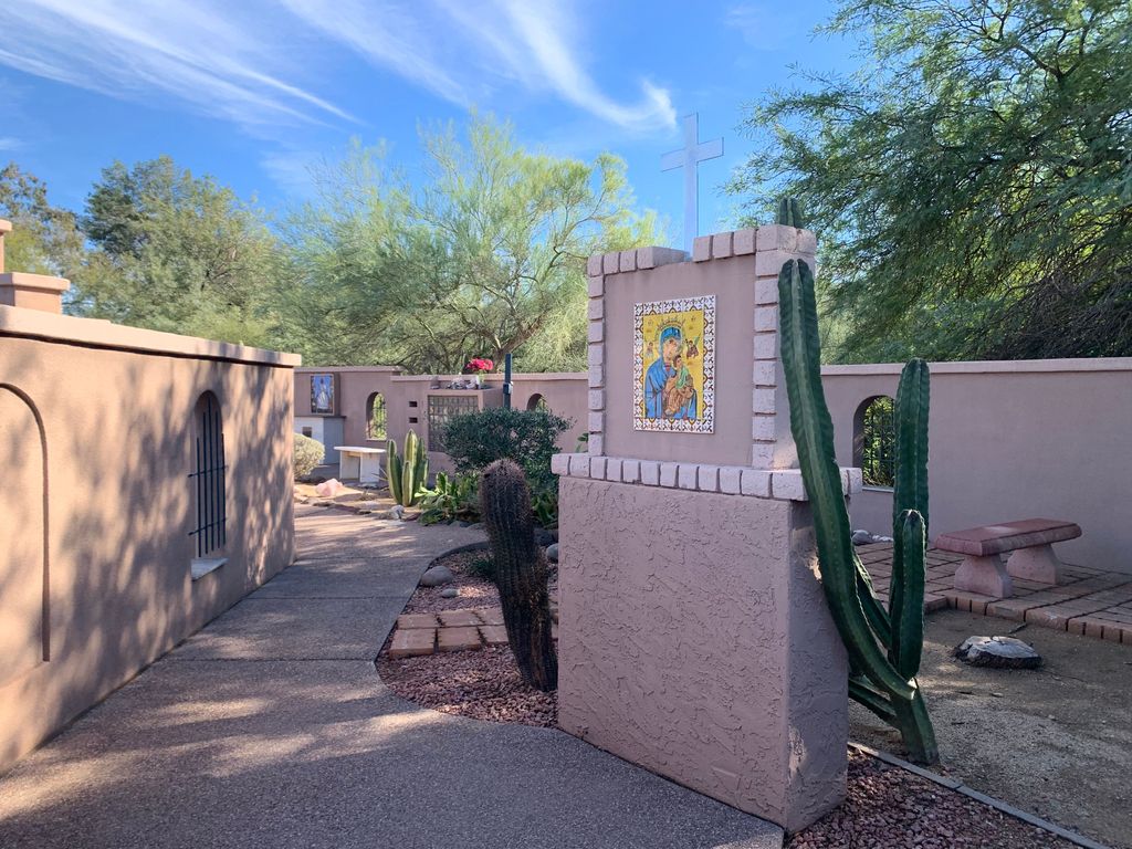
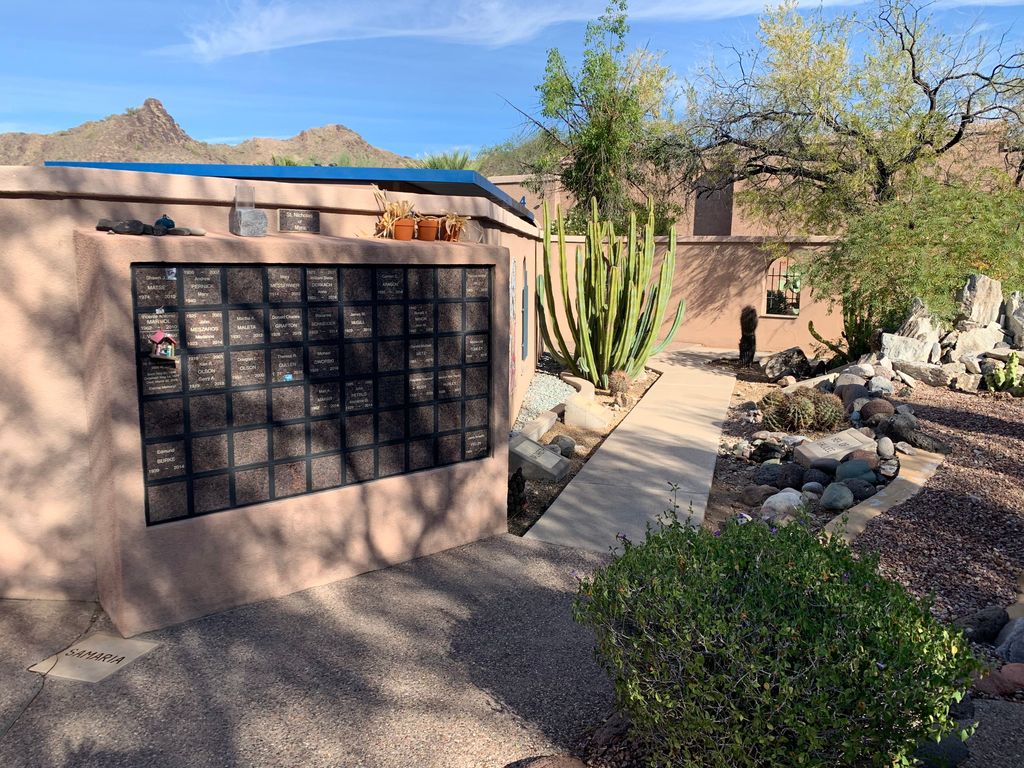
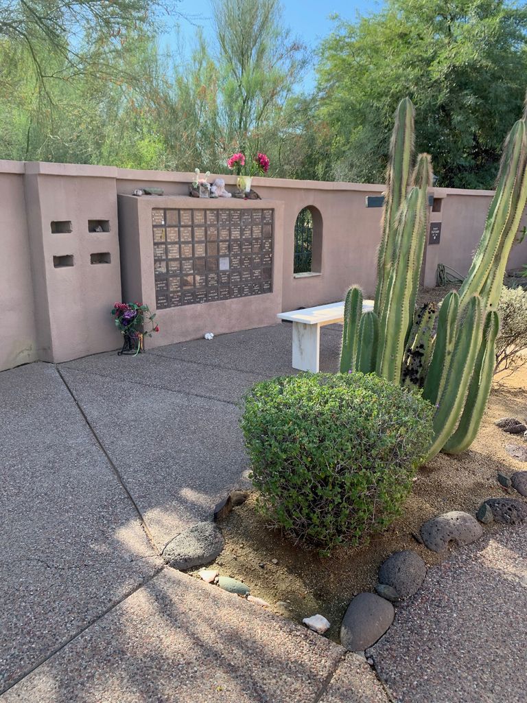
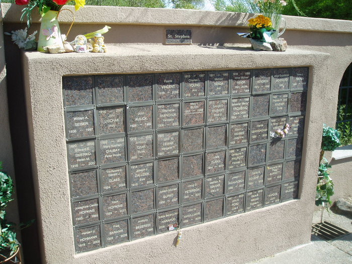
| Description | : | The Church historically has laid the dead to rest with reverence and care in special places set apart in church yards and in cathedrals. Now in keeping with this tradition, churches have established special facilities for the care and safekeeping of cremated remains in Columbariums. The name Columbarium is derived from the Latin Columba or "Dovecote", the dove being the symbol of God's spirit and peace. Today, many people are searching for an alternative to ground burial that offers beauty and simplicity. Cremation with memorialization is one such alternative. Cremation is a step in the care of human remains that... Read More |
frequently asked questions (FAQ):
-
Where is Saint Stephen's Catholic Church and Columbarium?
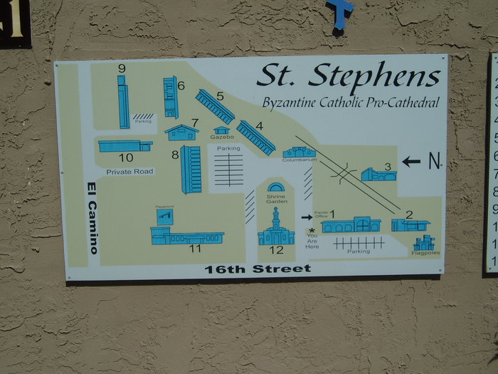
Saint Stephen's Catholic Church and Columbarium is located at 8141 N 16 Street Phoenix, Maricopa County ,Arizona , 85020USA.
-
Saint Stephen's Catholic Church and Columbarium cemetery's updated grave count on graveviews.com?
0 memorials
-
Where are the coordinates of the Saint Stephen's Catholic Church and Columbarium?
Latitude: 33.5563786
Longitude: -112.0479130
Nearby Cemetories:
1. Orangewood Presbyterian Church Memorial Gardens
Phoenix, Maricopa County, USA
Coordinate: 33.5442630, -112.0601860
2. Trinity Lutheran Church Columbarium
Phoenix, Maricopa County, USA
Coordinate: 33.5723530, -112.0829490
3. Church of the Beatitudes Columbarium
Phoenix, Maricopa County, USA
Coordinate: 33.5380000, -112.0815000
4. All Saints Episcopal Church Cemetery
Phoenix, Maricopa County, USA
Coordinate: 33.5297000, -112.0746000
5. Shepherd of the Valley Lutheran Church
Phoenix, Maricopa County, USA
Coordinate: 33.5315580, -112.0914890
6. First United Methodist Church Columbarium
Phoenix, Maricopa County, USA
Coordinate: 33.5167465, -112.0740433
7. Faith Lutheran Church Columbarium
Phoenix, Maricopa County, USA
Coordinate: 33.5088420, -112.0640250
8. Christ Church of the Ascension Memory Garden
Paradise Valley, Maricopa County, USA
Coordinate: 33.5310200, -111.9943900
9. Unitarian Universalist Congregation of Phoenix
Paradise Valley, Maricopa County, USA
Coordinate: 33.5313506, -111.9919749
10. Shadow Rock Congregational Church Cemetery
Phoenix, Maricopa County, USA
Coordinate: 33.6025000, -112.0832000
11. Paradise Valley Methodist Church Columbarium
Paradise Valley, Maricopa County, USA
Coordinate: 33.5302000, -111.9852000
12. Trinity United Methodist Church Memorial Garden
Phoenix, Maricopa County, USA
Coordinate: 33.5387480, -112.1261220
13. All Saints Lutheran Memorial Garden Columbarium
Phoenix, Maricopa County, USA
Coordinate: 33.6293150, -112.0637270
14. Shepherd of the Valley United Methodist Church
Phoenix, Maricopa County, USA
Coordinate: 33.5959600, -112.1250450
15. Encanto Community Church Memorial Garden
Phoenix, Maricopa County, USA
Coordinate: 33.4793340, -112.0835480
16. Saint Marys Episcopal Church Cemetery
Phoenix, Maricopa County, USA
Coordinate: 33.5321080, -112.1431430
17. Trinity Mennonite Church Columbarium
Glendale, Maricopa County, USA
Coordinate: 33.5468000, -112.1529000
18. Chaparral Christian Church Memorial Garden
Maricopa County, USA
Coordinate: 33.5809510, -111.9411110
19. Shepherd of the Hills UCC Memorial Garden
Phoenix, Maricopa County, USA
Coordinate: 33.4950920, -111.9626900
20. Ascension Lutheran Church Memorial Garden
Paradise Valley, Maricopa County, USA
Coordinate: 33.5415180, -111.9350160
21. Saint Barnabas on the Desert Memorial Garden
Paradise Valley, Maricopa County, USA
Coordinate: 33.5358000, -111.9330000
22. Prince of Peace Lutheran Church Columbarium
Phoenix, Maricopa County, USA
Coordinate: 33.4909000, -111.9596330
23. Trinity Episcopal Cathedral Columbarium
Phoenix, Maricopa County, USA
Coordinate: 33.4590270, -112.0749940
24. Camelback Cemetery
Paradise Valley, Maricopa County, USA
Coordinate: 33.5243900, -111.9328200

