
| Memorials | : | 0 |
| Location | : | Port Hudson, Franklin County, USA |
| Coordinate | : | 38.4564100, -91.2692600 |
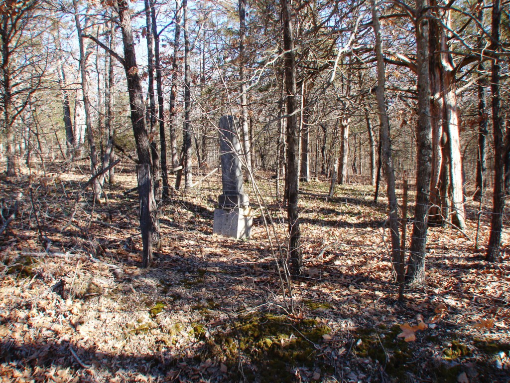
| Description | : | N38.45621 W091.26944 (43N. R.3W. Sec.21) Old State Road, north side, alongside private roadway. It is separated by a fence from the Malvern Cemetery. January 2013 there were no stones. |
frequently asked questions (FAQ):
-
Where is Neely Family Cemetery?
Neely Family Cemetery is located at Port Hudson, Franklin County ,Missouri ,USA.
-
Neely Family Cemetery cemetery's updated grave count on graveviews.com?
0 memorials
-
Where are the coordinates of the Neely Family Cemetery?
Latitude: 38.4564100
Longitude: -91.2692600
Nearby Cemetories:
1. Malvern Cemetery
Port Hudson, Franklin County, USA
Coordinate: 38.4560400, -91.2689600
2. Sprick Family Cemetery
Port Hudson, Franklin County, USA
Coordinate: 38.4682100, -91.2692400
3. Bridges Family Cemetery
Franklin County, USA
Coordinate: 38.4681100, -91.2778300
4. Schuett Cemetery
Port Hudson, Franklin County, USA
Coordinate: 38.4680700, -91.2463600
5. Danz Family Cemetery
Port Hudson, Franklin County, USA
Coordinate: 38.4381883, -91.2418750
6. Stevens Cemetery
Gerald, Franklin County, USA
Coordinate: 38.4644700, -91.3099700
7. Koirtyohann-Bates Family Cemetery
Gerald, Franklin County, USA
Coordinate: 38.4286003, -91.2941971
8. Churchill - Helling Cemetery
Port Hudson, Franklin County, USA
Coordinate: 38.4647400, -91.2231800
9. Holy Family Port Hudson Cemetery
Leslie, Franklin County, USA
Coordinate: 38.4956000, -91.2304300
10. Leslie United Methodist Cemetery
Leslie, Franklin County, USA
Coordinate: 38.4213430, -91.2238290
11. Henneke Family Cemetery
Leslie, Franklin County, USA
Coordinate: 38.4206900, -91.2232500
12. Woodman Cemetery
Leslie, Franklin County, USA
Coordinate: 38.4118996, -91.2352982
13. Gregory Cemetery
Leslie, Franklin County, USA
Coordinate: 38.4035988, -91.2716980
14. Saint Johns Lutheran Cemetery
Beaufort, Franklin County, USA
Coordinate: 38.4377060, -91.2025860
15. Evangelical Saint Paul Cemetery
Gerald, Franklin County, USA
Coordinate: 38.4105988, -91.3106003
16. Schroeder Cemetery
Beemont, Franklin County, USA
Coordinate: 38.4897000, -91.3295600
17. Cedar Fork United Baptist Church #1
Gerald, Franklin County, USA
Coordinate: 38.4284100, -91.3373500
18. Ebenezer Stone Church Cemetery
Gerald, Franklin County, USA
Coordinate: 38.5043182, -91.3180161
19. Seaton Cemetery
Gerald, Franklin County, USA
Coordinate: 38.3940700, -91.2882400
20. Casco Methodist Cemetery
Franklin County, USA
Coordinate: 38.4875000, -91.1921000
21. Cedar Fork United Baptist Church #2
Gerald, Franklin County, USA
Coordinate: 38.4283500, -91.3499200
22. Adams-Butler Cemetery
Beaufort, Franklin County, USA
Coordinate: 38.4533005, -91.1800003
23. Little Creek Cemetery
Leslie, Franklin County, USA
Coordinate: 38.3874300, -91.2409440
24. Saint John's United Church of Christ Cemetery
Leslie, Franklin County, USA
Coordinate: 38.4832077, -91.1827698