
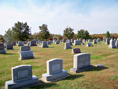
| Memorials | : | 8 |
| Location | : | Gerald, Franklin County, USA |
| Coordinate | : | 38.4105988, -91.3106003 |
frequently asked questions (FAQ):
-
Where is Evangelical Saint Paul Cemetery?
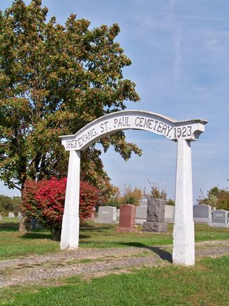
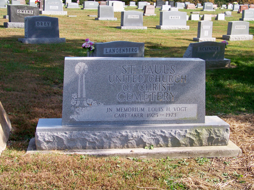
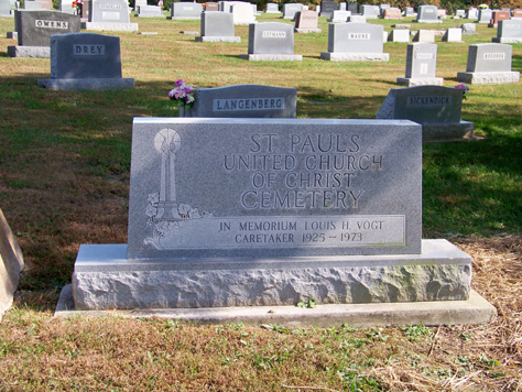
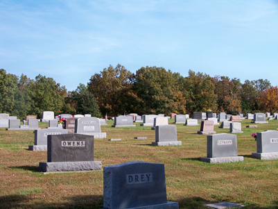
Evangelical Saint Paul Cemetery is located at Gerald, Franklin County ,Missouri ,USA.
-
Evangelical Saint Paul Cemetery cemetery's updated grave count on graveviews.com?
6 memorials
-
Where are the coordinates of the Evangelical Saint Paul Cemetery?
Latitude: 38.4105988
Longitude: -91.3106003
Nearby Cemetories:
1. Koirtyohann-Bates Family Cemetery
Gerald, Franklin County, USA
Coordinate: 38.4286003, -91.2941971
2. Seaton Cemetery
Gerald, Franklin County, USA
Coordinate: 38.3940700, -91.2882400
3. Cedar Fork United Baptist Church #1
Gerald, Franklin County, USA
Coordinate: 38.4284100, -91.3373500
4. Gregory Cemetery
Leslie, Franklin County, USA
Coordinate: 38.4035988, -91.2716980
5. Boeuff Cemetery
Gerald, Franklin County, USA
Coordinate: 38.3944016, -91.3450012
6. Cedar Fork United Baptist Church #2
Gerald, Franklin County, USA
Coordinate: 38.4283500, -91.3499200
7. Antioch Cemetery
Gerald, Franklin County, USA
Coordinate: 38.3757100, -91.2592200
8. Stevens Cemetery
Gerald, Franklin County, USA
Coordinate: 38.4644700, -91.3099700
9. Malvern Cemetery
Port Hudson, Franklin County, USA
Coordinate: 38.4560400, -91.2689600
10. Neely Family Cemetery
Port Hudson, Franklin County, USA
Coordinate: 38.4564100, -91.2692600
11. Woodman Cemetery
Leslie, Franklin County, USA
Coordinate: 38.4118996, -91.2352982
12. Little Creek Cemetery
Leslie, Franklin County, USA
Coordinate: 38.3874300, -91.2409440
13. Danz Family Cemetery
Port Hudson, Franklin County, USA
Coordinate: 38.4381883, -91.2418750
14. Bridges Family Cemetery
Franklin County, USA
Coordinate: 38.4681100, -91.2778300
15. Sprick Family Cemetery
Port Hudson, Franklin County, USA
Coordinate: 38.4682100, -91.2692400
16. Leslie United Methodist Cemetery
Leslie, Franklin County, USA
Coordinate: 38.4213430, -91.2238290
17. Henneke Family Cemetery
Leslie, Franklin County, USA
Coordinate: 38.4206900, -91.2232500
18. Martin-Weirich Cemetery
Leslie, Franklin County, USA
Coordinate: 38.3465100, -91.2741600
19. Methodist Cemetery
Rosebud, Gasconade County, USA
Coordinate: 38.3917660, -91.3999690
20. Wilson Cemetery
Leslie, Franklin County, USA
Coordinate: 38.3452777, -91.2696761
21. Georgetown Cemetery
Gasconade County, USA
Coordinate: 38.4608002, -91.3786011
22. Schuett Cemetery
Port Hudson, Franklin County, USA
Coordinate: 38.4680700, -91.2463600
23. Meyer Family Cemetery
Gasconade County, USA
Coordinate: 38.4723700, -91.3681400
24. Immanuel Cemetery
Rosebud, Gasconade County, USA
Coordinate: 38.3869019, -91.4064026