
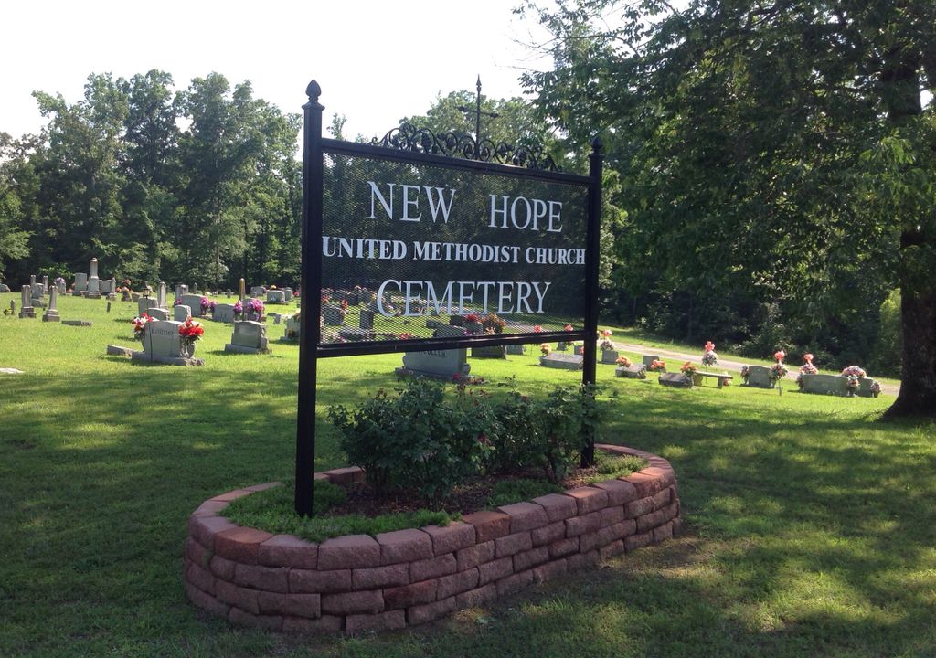
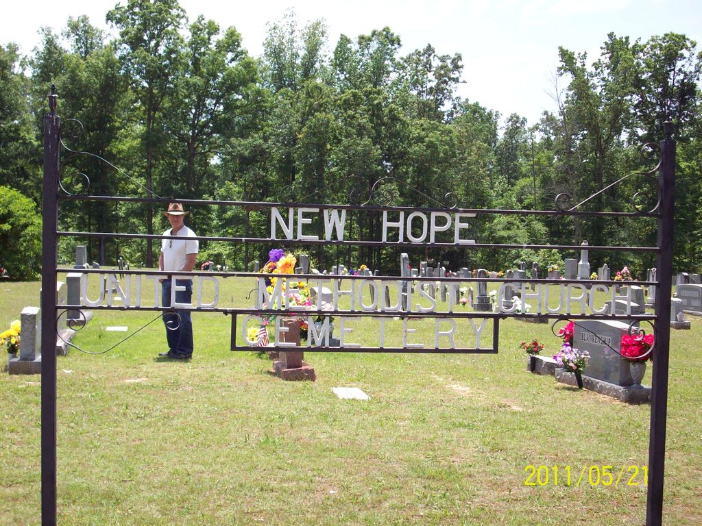
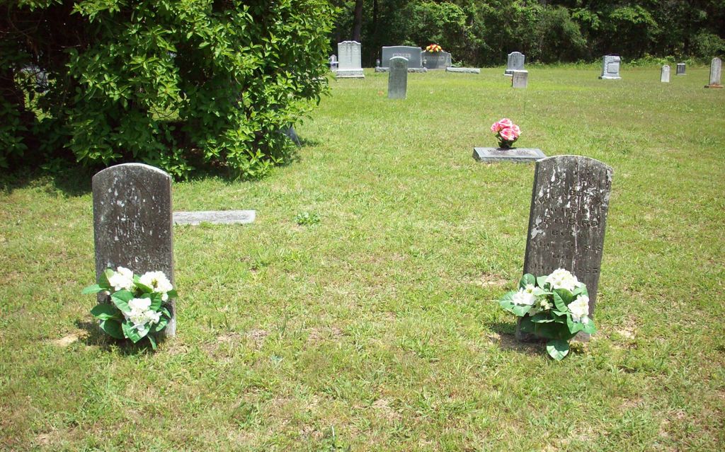
| Memorials | : | 3 |
| Location | : | Shady Hill, Henderson County, USA |
| Coordinate | : | 35.5815920, -88.3215170 |
| Description | : | From the intersection of Shady Hill Rd., & US-412 E/W, 3.5 mi. east to Lexington, travel south on Shady Hill Rd. for 4.5 mi. to the New Hope U.M. Church & it's parking lot on the south (right) side of the road & to the large cemetery to the south of the parking lot. The church & cemetery is located at the intersection with Cane Creek Rd. |
frequently asked questions (FAQ):
-
Where is New Hope United Methodist Church Cemetery?
New Hope United Methodist Church Cemetery is located at 4770 Shady Hill Rd Shady Hill, Henderson County ,Tennessee , 38351USA.
-
New Hope United Methodist Church Cemetery cemetery's updated grave count on graveviews.com?
3 memorials
-
Where are the coordinates of the New Hope United Methodist Church Cemetery?
Latitude: 35.5815920
Longitude: -88.3215170
Nearby Cemetories:
1. Buckley Cemetery
Lexington, Henderson County, USA
Coordinate: 35.5863040, -88.3304970
2. Swafford Family Cemetery
Henderson County, USA
Coordinate: 35.5735400, -88.3271100
3. Mount Gilead Cemetery
Lexington, Henderson County, USA
Coordinate: 35.5521840, -88.3428930
4. Rock Hill Cemetery
Lexington, Henderson County, USA
Coordinate: 35.6238020, -88.3201810
5. Judson Cemetery
Middleburg, Henderson County, USA
Coordinate: 35.5947350, -88.2641960
6. Powers Cemetery
Scotts Hill, Henderson County, USA
Coordinate: 35.5830370, -88.2599740
7. Ebenezer Cemetery
Henderson County, USA
Coordinate: 35.5353940, -88.2887670
8. Oak Grove Methodist Church Cemetery
Middleburg, Henderson County, USA
Coordinate: 35.5922290, -88.2527470
9. Dyer Chapel Cemetery
Reagan, Henderson County, USA
Coordinate: 35.5353810, -88.3626870
10. Piney Cemetery
Lexington, Henderson County, USA
Coordinate: 35.6029880, -88.3948500
11. Caraway Cemetery
Henderson County, USA
Coordinate: 35.5699997, -88.3996964
12. Barren Springs Cemetery
Reagan, Henderson County, USA
Coordinate: 35.5183310, -88.3400860
13. Horn Cemetery
Lexington, Henderson County, USA
Coordinate: 35.6041440, -88.3988320
14. Mount Moriah Cemetery
Henderson County, USA
Coordinate: 35.5222500, -88.3593700
15. McCall Cemetery
Lexington, Henderson County, USA
Coordinate: 35.6481018, -88.2981033
16. Center Hill Cemetery
Henderson County, USA
Coordinate: 35.5407890, -88.3920830
17. Wallace Cemetery
Henderson County, USA
Coordinate: 35.6514015, -88.3094025
18. Chumney Cemetery
Scotts Hill, Henderson County, USA
Coordinate: 35.5423140, -88.2460590
19. Union Church Cemetery
Chesterfield, Henderson County, USA
Coordinate: 35.6336500, -88.2573400
20. Crowell Chapel Cemetery
Henderson County, USA
Coordinate: 35.5952860, -88.2318640
21. Center Hill Holiness Church Cemetery
Lexington, Henderson County, USA
Coordinate: 35.5414280, -88.3987560
22. Flat Creek Cemetery
Scotts Hill, Decatur County, USA
Coordinate: 35.5450790, -88.2404150
23. Oak Grove Cemetery
Lexington, Henderson County, USA
Coordinate: 35.6571999, -88.3352966
24. Presley Cemetery
Darden, Henderson County, USA
Coordinate: 35.5928120, -88.2259270