
| Memorials | : | 0 |
| Location | : | Lexington, Henderson County, USA |
| Coordinate | : | 35.5414280, -88.3987560 |
| Description | : | From the intersection of TN-22 & TN-100, travel north on TN-22 for 3.0 mi., turning west (left) onto Center Hill Loop, going 0.7 mi., turning north (right) onto Center Hill-Wright Rd., following for 0.3 mi., turning northwest (right) onto Stegall Rd. for 0.1 mi. to the parking lot of the Center Hill Holiness Church & to the cemetery to the south. |
frequently asked questions (FAQ):
-
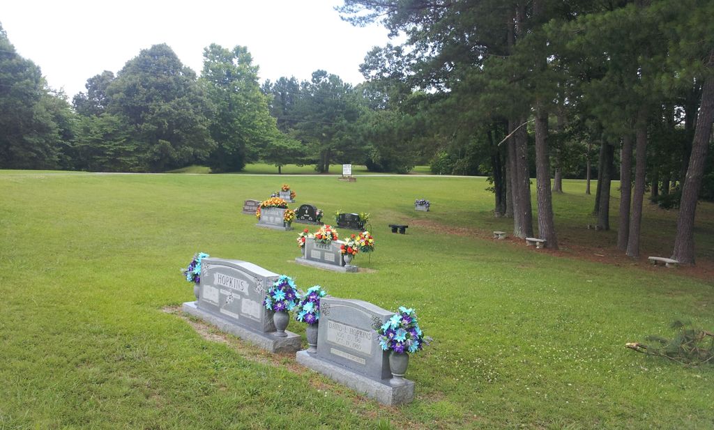
Where is Center Hill Holiness Church Cemetery?
Center Hill Holiness Church Cemetery is located at 175 Stegall Rd Lexington, Henderson County ,Tennessee , 38351USA.
-
Center Hill Holiness Church Cemetery cemetery's updated grave count on graveviews.com?
0 memorials
-
Where are the coordinates of the Center Hill Holiness Church Cemetery?
Latitude: 35.5414280
Longitude: -88.3987560
Nearby Cemetories:
1. Center Hill Cemetery
Henderson County, USA
Coordinate: 35.5407890, -88.3920830
2. Beecham Family Cemetery
Reagan, Henderson County, USA
Coordinate: 35.5248210, -88.4061200
3. Preslar Cemetery
Henderson County, USA
Coordinate: 35.5167007, -88.3846970
4. Mount Zion Cemetery
Lexington, Henderson County, USA
Coordinate: 35.5623150, -88.4213170
5. Caraway Cemetery
Henderson County, USA
Coordinate: 35.5699997, -88.3996964
6. Dyer Chapel Cemetery
Reagan, Henderson County, USA
Coordinate: 35.5353810, -88.3626870
7. Jordan Cemetery
Lexington, Henderson County, USA
Coordinate: 35.5551000, -88.4357000
8. Patterson Cemetery
Reagan, Henderson County, USA
Coordinate: 35.5110680, -88.4156360
9. Patterson Cemetery
Reagan, Henderson County, USA
Coordinate: 35.5072000, -88.4108000
10. Mount Moriah Cemetery
Henderson County, USA
Coordinate: 35.5222500, -88.3593700
11. Union Hill Church Cemetery
Reagan, Henderson County, USA
Coordinate: 35.4977250, -88.3826800
12. Old Jacks Creek Church Cemetery
Huron, Henderson County, USA
Coordinate: 35.5254930, -88.4526830
13. Mount Gilead Cemetery
Lexington, Henderson County, USA
Coordinate: 35.5521840, -88.3428930
14. Stone Hill Pentecostal Church Cemetery
Reagan, Henderson County, USA
Coordinate: 35.4931480, -88.4004280
15. Barren Springs Cemetery
Reagan, Henderson County, USA
Coordinate: 35.5183310, -88.3400860
16. Shiloh Cemetery
Reagan, Henderson County, USA
Coordinate: 35.4876190, -88.4149490
17. Palestine Pentecostal Church Cemetery
Lexington, Henderson County, USA
Coordinate: 35.5908080, -88.4342830
18. Ridley Chapel Cemetery
Reagan, Henderson County, USA
Coordinate: 35.5026110, -88.3454170
19. Priddy Graveyard
Lexington, Henderson County, USA
Coordinate: 35.5648260, -88.4688010
20. Piney Cemetery
Lexington, Henderson County, USA
Coordinate: 35.6029880, -88.3948500
21. Big Springs Cemetery
Henderson County, USA
Coordinate: 35.5456009, -88.4756012
22. Macedonia Cemetery
Henderson County, USA
Coordinate: 35.6018890, -88.4190140
23. Horn Cemetery
Lexington, Henderson County, USA
Coordinate: 35.6041440, -88.3988320
24. Old Big Springs Cemetery
Huron, Henderson County, USA
Coordinate: 35.5394520, -88.4762550