
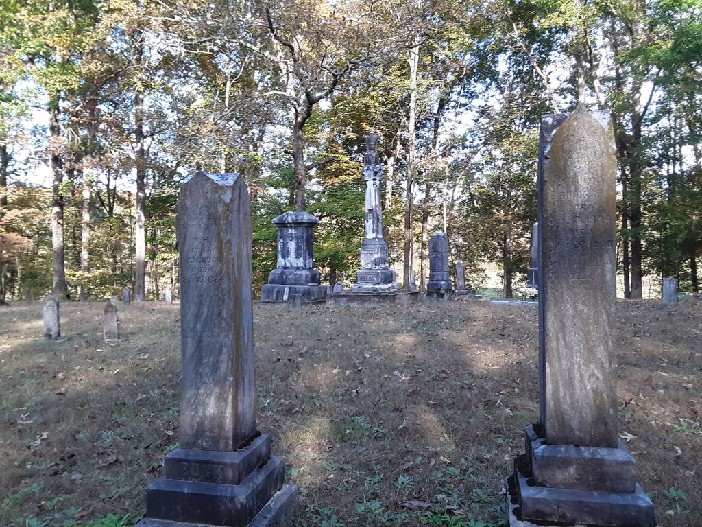
| Memorials | : | 3 |
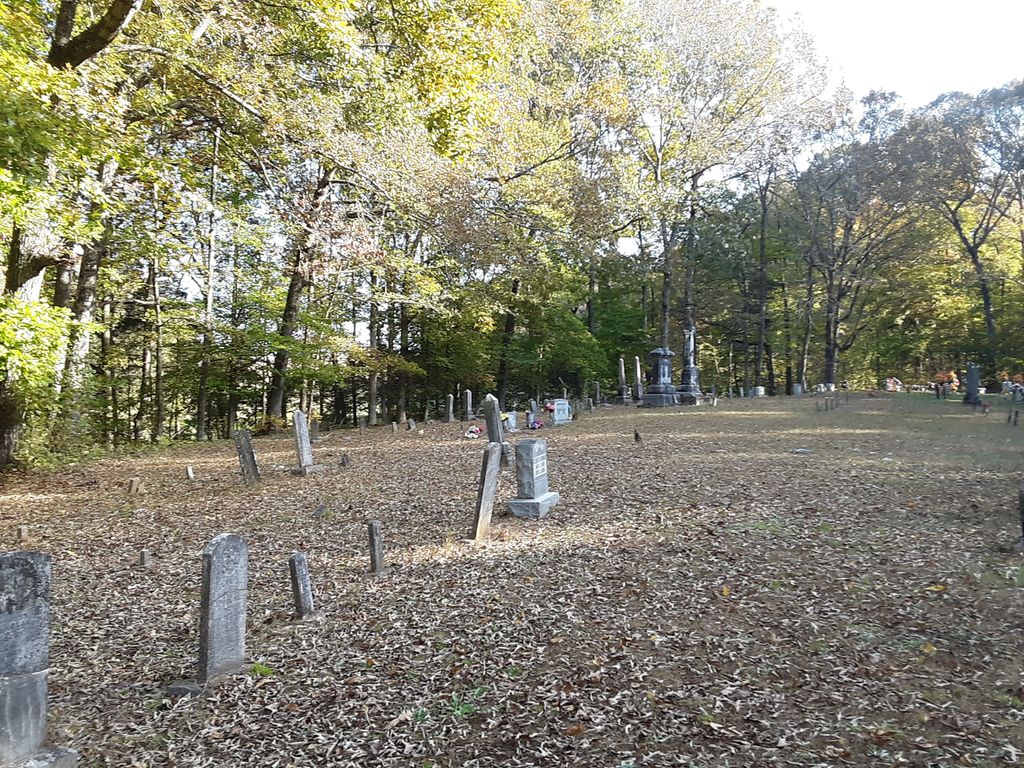
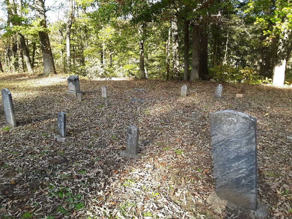
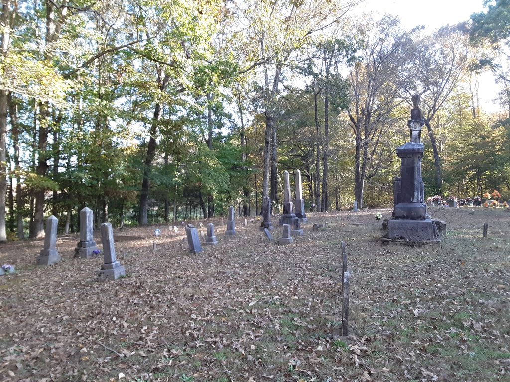
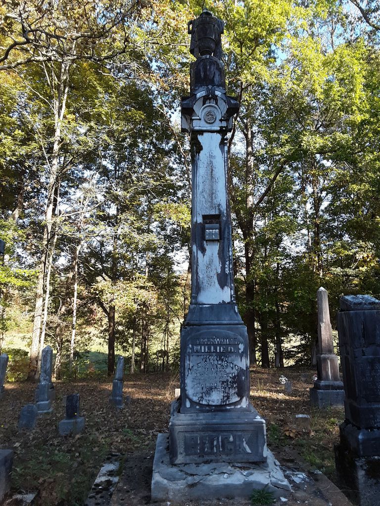
| Location | : | Lexington, Henderson County, USA |
| Coordinate | : | 35.5521840, -88.3428930 |
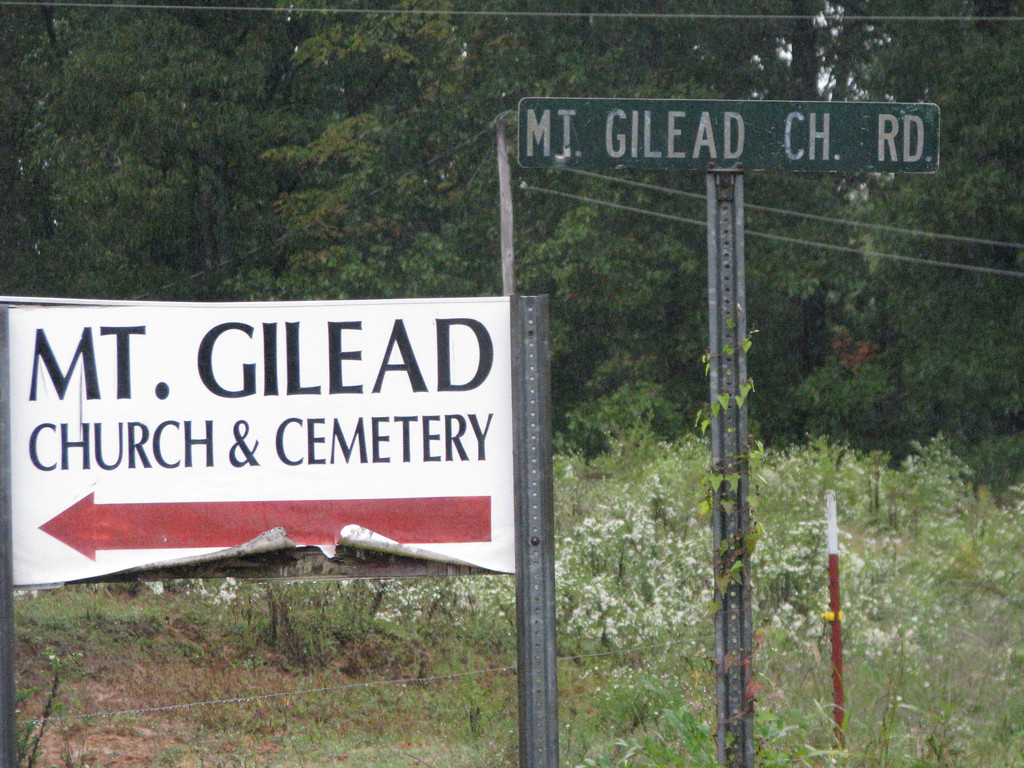
| Description | : | From the intersection of Shady Hill Rd. & US-412, east of Lexington, travel south on Shady Hill Rd., going 5.8 mi., turning southwest (right) onto Shady Hill-Reagan Rd., going 1.4 mi., turning west (right) onto Mt. Gilead Rd., going 0.5 mi. to the cemetery on the east (right) side of the road. |
frequently asked questions (FAQ):
-
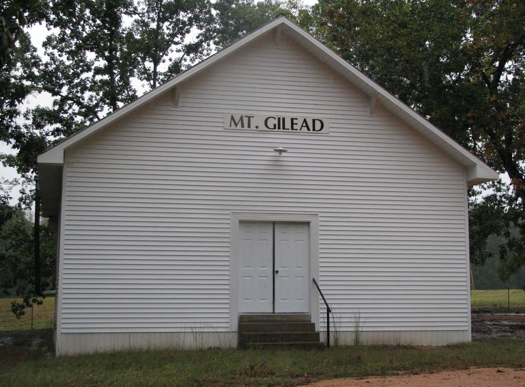
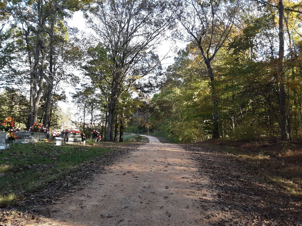
Where is Mount Gilead Cemetery?
Mount Gilead Cemetery is located at Mount Gilead Church Road Lexington, Henderson County ,Tennessee ,USA.
-
Mount Gilead Cemetery cemetery's updated grave count on graveviews.com?
3 memorials
-
Where are the coordinates of the Mount Gilead Cemetery?
Latitude: 35.5521840
Longitude: -88.3428930
Nearby Cemetories:
1. Dyer Chapel Cemetery
Reagan, Henderson County, USA
Coordinate: 35.5353810, -88.3626870
2. Swafford Family Cemetery
Henderson County, USA
Coordinate: 35.5735400, -88.3271100
3. Mount Moriah Cemetery
Henderson County, USA
Coordinate: 35.5222500, -88.3593700
4. Barren Springs Cemetery
Reagan, Henderson County, USA
Coordinate: 35.5183310, -88.3400860
5. New Hope United Methodist Church Cemetery
Shady Hill, Henderson County, USA
Coordinate: 35.5815920, -88.3215170
6. Buckley Cemetery
Lexington, Henderson County, USA
Coordinate: 35.5863040, -88.3304970
7. Center Hill Cemetery
Henderson County, USA
Coordinate: 35.5407890, -88.3920830
8. Center Hill Holiness Church Cemetery
Lexington, Henderson County, USA
Coordinate: 35.5414280, -88.3987560
9. Ebenezer Cemetery
Henderson County, USA
Coordinate: 35.5353940, -88.2887670
10. Preslar Cemetery
Henderson County, USA
Coordinate: 35.5167007, -88.3846970
11. Caraway Cemetery
Henderson County, USA
Coordinate: 35.5699997, -88.3996964
12. Ridley Chapel Cemetery
Reagan, Henderson County, USA
Coordinate: 35.5026110, -88.3454170
13. Beecham Family Cemetery
Reagan, Henderson County, USA
Coordinate: 35.5248210, -88.4061200
14. Union Hill Church Cemetery
Reagan, Henderson County, USA
Coordinate: 35.4977250, -88.3826800
15. Mount Zion Cemetery
Lexington, Henderson County, USA
Coordinate: 35.5623150, -88.4213170
16. Piney Cemetery
Lexington, Henderson County, USA
Coordinate: 35.6029880, -88.3948500
17. Horn Cemetery
Lexington, Henderson County, USA
Coordinate: 35.6041440, -88.3988320
18. Patterson Cemetery
Reagan, Henderson County, USA
Coordinate: 35.5072000, -88.4108000
19. Patterson Cemetery
Reagan, Henderson County, USA
Coordinate: 35.5110680, -88.4156360
20. Rock Hill Cemetery
Lexington, Henderson County, USA
Coordinate: 35.6238020, -88.3201810
21. Powers Cemetery
Scotts Hill, Henderson County, USA
Coordinate: 35.5830370, -88.2599740
22. Edge Cemetery
Reagan, Henderson County, USA
Coordinate: 35.4788830, -88.3620300
23. Stone Hill Pentecostal Church Cemetery
Reagan, Henderson County, USA
Coordinate: 35.4931480, -88.4004280
24. Jordan Cemetery
Lexington, Henderson County, USA
Coordinate: 35.5551000, -88.4357000