
| Memorials | : | 12 |
| Location | : | Reagan, Henderson County, USA |
| Coordinate | : | 35.5183310, -88.3400860 |
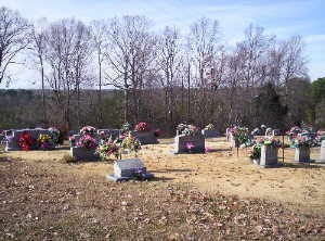
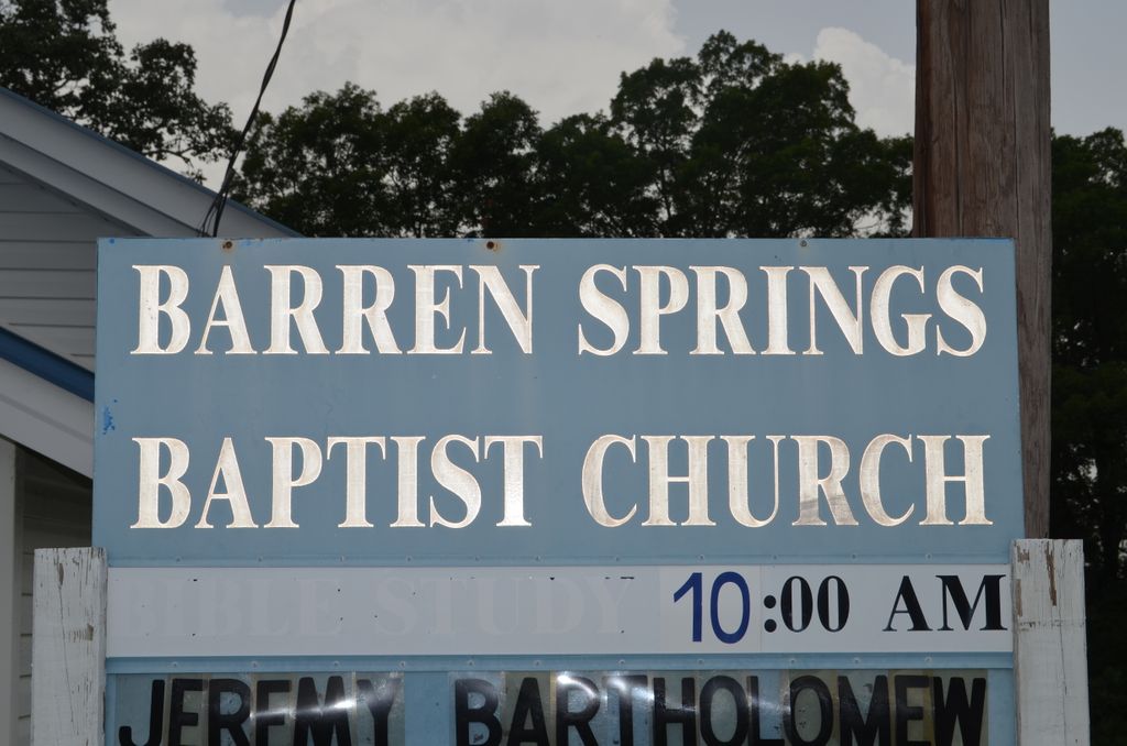
| Description | : | From the intersection of TN-100 E & Tn-22, south of Lexington, travel east on TN-100 E for 1.9 mi., turning northeast (left) onto Center Point Rd., traveling 0.7 mi., turning north (left) onto TN-104 W., going 0.5 mi. to the Barren Baptist Church on the west (left) & the larger section of the cemetery on the east (right). There are smaller sections of this cemetery north & south of the church building. |
frequently asked questions (FAQ):
-
Where is Barren Springs Cemetery?
Barren Springs Cemetery is located at 30101 TN-104 Reagan, Henderson County ,Tennessee , 38368USA.
-
Barren Springs Cemetery cemetery's updated grave count on graveviews.com?
12 memorials
-
Where are the coordinates of the Barren Springs Cemetery?
Latitude: 35.5183310
Longitude: -88.3400860
Nearby Cemetories:
1. Mount Moriah Cemetery
Henderson County, USA
Coordinate: 35.5222500, -88.3593700
2. Ridley Chapel Cemetery
Reagan, Henderson County, USA
Coordinate: 35.5026110, -88.3454170
3. Dyer Chapel Cemetery
Reagan, Henderson County, USA
Coordinate: 35.5353810, -88.3626870
4. Mount Gilead Cemetery
Lexington, Henderson County, USA
Coordinate: 35.5521840, -88.3428930
5. Preslar Cemetery
Henderson County, USA
Coordinate: 35.5167007, -88.3846970
6. Union Hill Church Cemetery
Reagan, Henderson County, USA
Coordinate: 35.4977250, -88.3826800
7. Edge Cemetery
Reagan, Henderson County, USA
Coordinate: 35.4788830, -88.3620300
8. Ebenezer Cemetery
Henderson County, USA
Coordinate: 35.5353940, -88.2887670
9. Center Hill Cemetery
Henderson County, USA
Coordinate: 35.5407890, -88.3920830
10. Center Hill Holiness Church Cemetery
Lexington, Henderson County, USA
Coordinate: 35.5414280, -88.3987560
11. Beecham Family Cemetery
Reagan, Henderson County, USA
Coordinate: 35.5248210, -88.4061200
12. Stone Hill Pentecostal Church Cemetery
Reagan, Henderson County, USA
Coordinate: 35.4931480, -88.4004280
13. Swafford Family Cemetery
Henderson County, USA
Coordinate: 35.5735400, -88.3271100
14. Little Hurricane Cemetery
Sardis, Henderson County, USA
Coordinate: 35.4605060, -88.3302360
15. Patterson Cemetery
Reagan, Henderson County, USA
Coordinate: 35.5072000, -88.4108000
16. Granny Austin Cemetery
Scotts Hill, Henderson County, USA
Coordinate: 35.4949850, -88.2734300
17. Patterson Cemetery
Reagan, Henderson County, USA
Coordinate: 35.5110680, -88.4156360
18. Pleasant View Cemetery
Sardis, Henderson County, USA
Coordinate: 35.4639730, -88.3019970
19. Marl Bluff Cemetery
Sardis, Henderson County, USA
Coordinate: 35.4570870, -88.3561740
20. New Hope United Methodist Church Cemetery
Shady Hill, Henderson County, USA
Coordinate: 35.5815920, -88.3215170
21. Cedar Grove Pentecostal Cemetery
Sardis, Henderson County, USA
Coordinate: 35.4829530, -88.2698440
22. Shiloh Cemetery
Reagan, Henderson County, USA
Coordinate: 35.4876190, -88.4149490
23. Buckley Cemetery
Lexington, Henderson County, USA
Coordinate: 35.5863040, -88.3304970
24. Fellowship Church Cemetery
Scotts Hill, Henderson County, USA
Coordinate: 35.4965940, -88.2602540