| Memorials | : | 13 |
| Location | : | Waupun, Fond du Lac County, USA |
| Coordinate | : | 43.6458200, -88.6540000 |
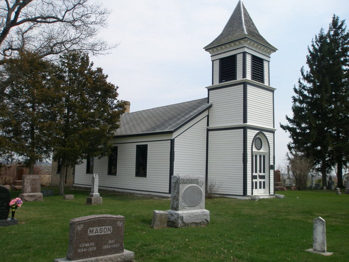
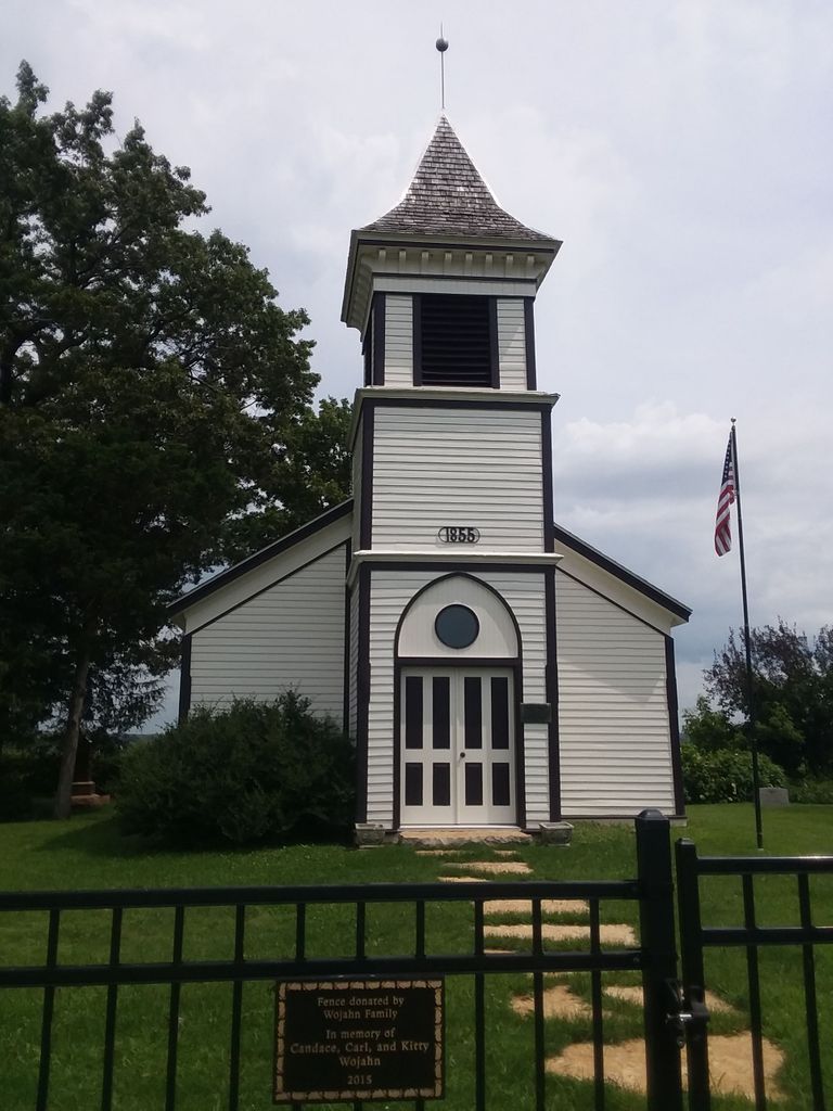
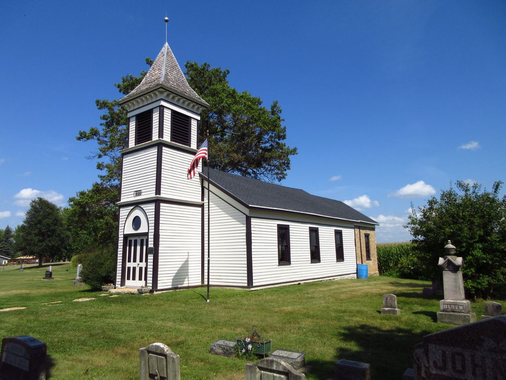
| Description | : | Cemetery of the defunct Norwegian Evangelical Lutheran Church, it is located on Church Road in Waupun Township. Most of the information here comes from a transcription prepared by Esther Menn & Clara M. Turner in 1976. |
frequently asked questions (FAQ):
-
Where is Norwegian Evangelical Lutheran Cemetery?
Norwegian Evangelical Lutheran Cemetery is located at Waupun, Fond du Lac County ,Wisconsin ,USA.
-
Norwegian Evangelical Lutheran Cemetery cemetery's updated grave count on graveviews.com?
9 memorials
-
Where are the coordinates of the Norwegian Evangelical Lutheran Cemetery?
Latitude: 43.6458200
Longitude: -88.6540000
Nearby Cemetories:
1. Cattaraugus Cemetery
Waupun, Fond du Lac County, USA
Coordinate: 43.6506004, -88.6992035
2. Oak Center Cemetery
Oak Center, Fond du Lac County, USA
Coordinate: 43.6466600, -88.6009400
3. Wisconsin State Prison Cemetery
Waupun, Dodge County, USA
Coordinate: 43.6291640, -88.7046860
4. Rock River Cemetery
Oakfield, Fond du Lac County, USA
Coordinate: 43.6856003, -88.6296997
5. Miles Farm Cemetery
LeRoy, Dodge County, USA
Coordinate: 43.6251880, -88.5917650
6. Waupun Cemetery
Waupun, Dodge County, USA
Coordinate: 43.6275220, -88.7248780
7. Calvary Cemetery
Waupun, Fond du Lac County, USA
Coordinate: 43.6472015, -88.7296982
8. Forest Mound Cemetery
Waupun, Fond du Lac County, USA
Coordinate: 43.6391716, -88.7316666
9. East Ladoga Cemetery
Ladoga, Fond du Lac County, USA
Coordinate: 43.7228012, -88.6418991
10. Mount Pleasant Cemetery
Oakfield, Fond du Lac County, USA
Coordinate: 43.6391983, -88.5460968
11. Wedges Prairie Cemetery
Waupun, Fond du Lac County, USA
Coordinate: 43.7193985, -88.6939011
12. Bright Cemetery
Lamartine, Fond du Lac County, USA
Coordinate: 43.7340000, -88.6021500
13. Atwater Cemetery
Atwater, Dodge County, USA
Coordinate: 43.5648450, -88.7254140
14. Mount Pleasant Cemetery
LeRoy, Dodge County, USA
Coordinate: 43.6167800, -88.5263000
15. Avoca Cemetery
Oakfield, Fond du Lac County, USA
Coordinate: 43.6872215, -88.5319366
16. Lamartine Cemetery
Lamartine, Fond du Lac County, USA
Coordinate: 43.7277794, -88.5774994
17. Saint Andrews Church Cemetery
LeRoy, Dodge County, USA
Coordinate: 43.5732994, -88.5500336
18. Alto Cemetery
Alto, Fond du Lac County, USA
Coordinate: 43.6758308, -88.7933273
19. Genesee Cemetery
Byron, Fond du Lac County, USA
Coordinate: 43.6613884, -88.5066681
20. Rogersville Cemetery
Rogersville, Fond du Lac County, USA
Coordinate: 43.7528000, -88.6327972
21. Burnett Union Cemetery
Burnett, Dodge County, USA
Coordinate: 43.5448151, -88.7120285
22. Tidyman Cemetery
LeRoy, Dodge County, USA
Coordinate: 43.5482370, -88.5810470
23. Oak Mound Cemetery
Alto, Fond du Lac County, USA
Coordinate: 43.6892014, -88.7977982
24. Saint Paul Cemetery
Kekoskee, Dodge County, USA
Coordinate: 43.5455310, -88.5809180


