
| Memorials | : | 82 |
| Location | : | LeRoy, Dodge County, USA |
| Website | : | stmary-standrew.org/ |
| Coordinate | : | 43.5732994, -88.5500336 |
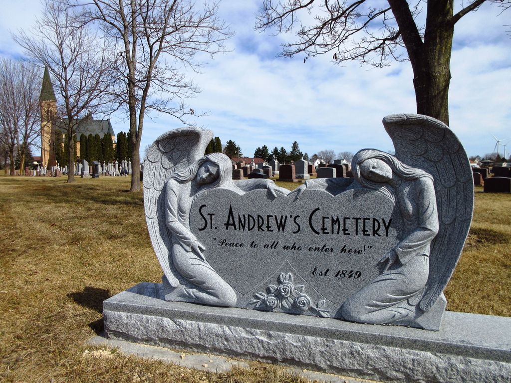
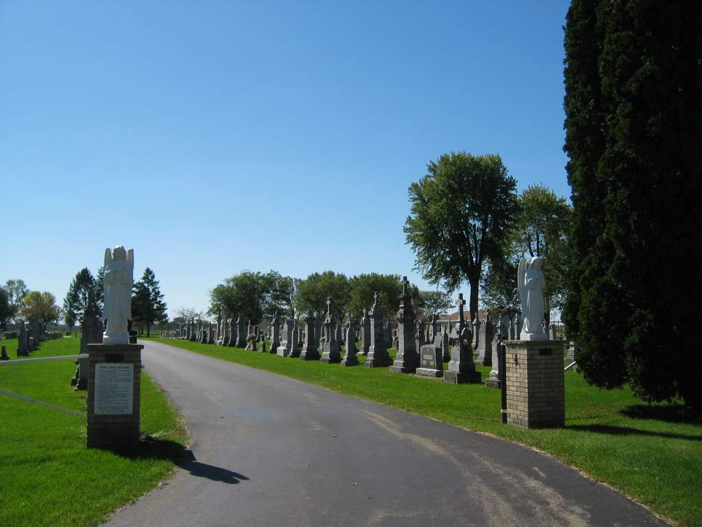
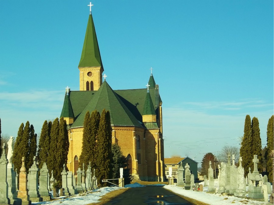
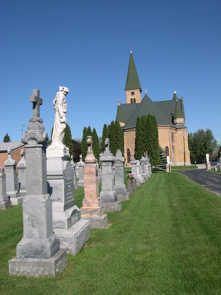
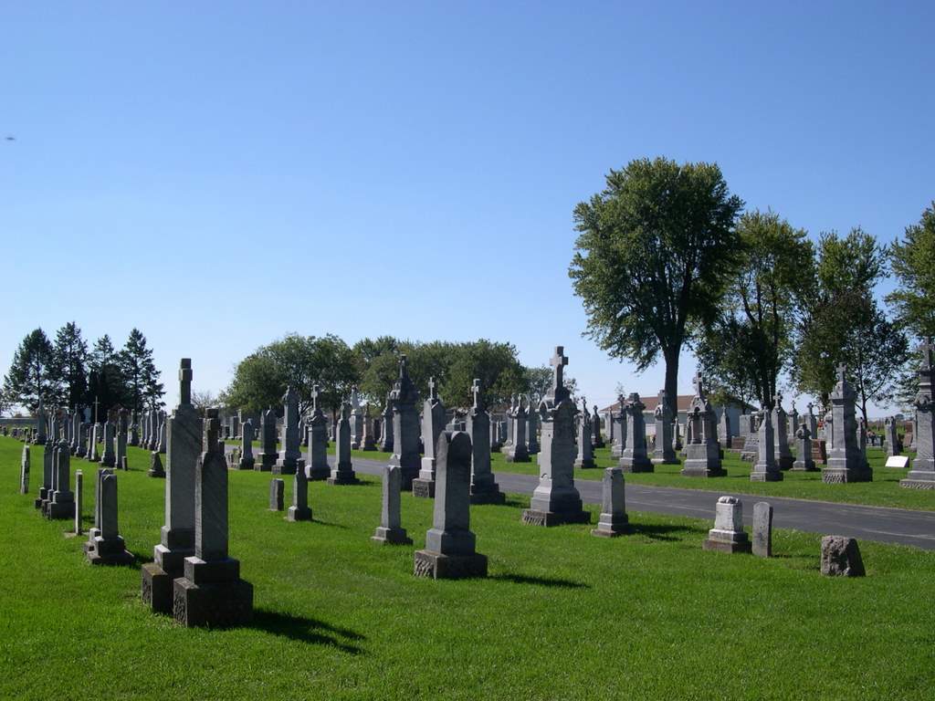
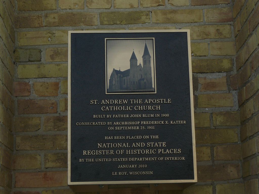
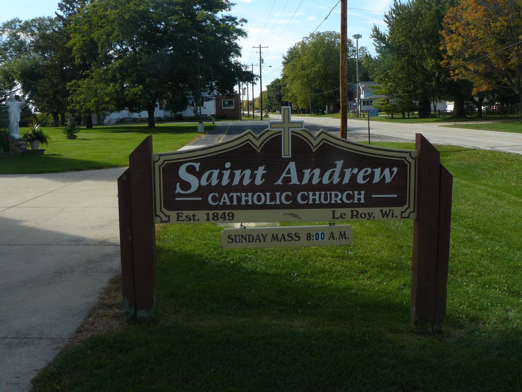
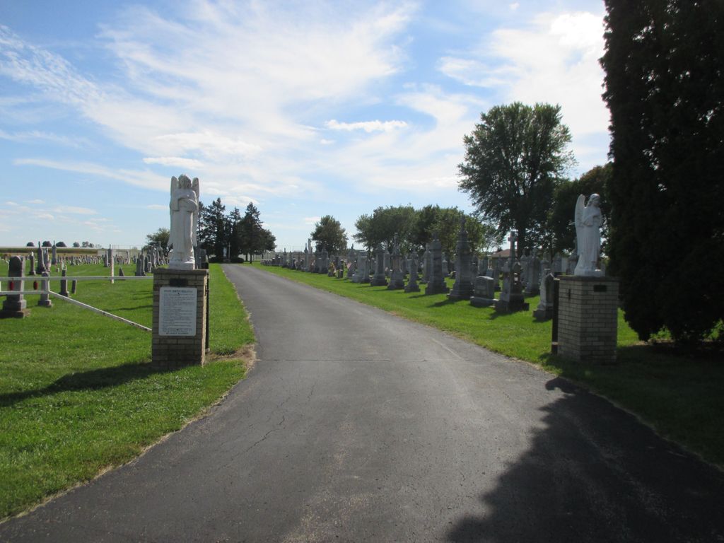
| Description | : | St. Andrew the Apostle Catholic Church is located at W3079 County Road Y, near Ertl Road in LeRoy, Dodge County, Wisconsin. The cemetery is located behind the church. |
frequently asked questions (FAQ):
-
Where is Saint Andrews Church Cemetery?
Saint Andrews Church Cemetery is located at LeRoy, Dodge County ,Wisconsin ,USA.
-
Saint Andrews Church Cemetery cemetery's updated grave count on graveviews.com?
81 memorials
-
Where are the coordinates of the Saint Andrews Church Cemetery?
Latitude: 43.5732994
Longitude: -88.5500336
Nearby Cemetories:
1. Tidyman Cemetery
LeRoy, Dodge County, USA
Coordinate: 43.5482370, -88.5810470
2. Saint Luke Evangelical Lutheran Church Cemetery
Knowles, Dodge County, USA
Coordinate: 43.5718720, -88.5016540
3. Saint Paul Cemetery
Kekoskee, Dodge County, USA
Coordinate: 43.5455310, -88.5809180
4. Emanuel Cemetery
Knowles, Dodge County, USA
Coordinate: 43.5877991, -88.4997025
5. Brownsville Community Cemetery
Brownsville, Dodge County, USA
Coordinate: 43.5995380, -88.5053440
6. Mount Pleasant Cemetery
LeRoy, Dodge County, USA
Coordinate: 43.6167800, -88.5263000
7. Kekoskee Cemetery
Kekoskee, Dodge County, USA
Coordinate: 43.5263390, -88.5612850
8. Miles Farm Cemetery
LeRoy, Dodge County, USA
Coordinate: 43.6251880, -88.5917650
9. Saint Pauls Evangelical Lutheran Cemetery
Brownsville, Dodge County, USA
Coordinate: 43.6167200, -88.4889100
10. Saint Peters Cemetery
Theresa, Dodge County, USA
Coordinate: 43.5367012, -88.4794006
11. Mount Pleasant Cemetery
Oakfield, Fond du Lac County, USA
Coordinate: 43.6391983, -88.5460968
12. Saint Marys Cemetery
Lomira, Dodge County, USA
Coordinate: 43.5903015, -88.4518967
13. Saint Johns Lutheran Cemetery
Lomira, Dodge County, USA
Coordinate: 43.5877266, -88.4469833
14. Salem Cemetery
Lomira, Dodge County, USA
Coordinate: 43.5872530, -88.4463790
15. Saint Gobki Cemetery
Theresa, Dodge County, USA
Coordinate: 43.5144005, -88.4803009
16. Old Saint Marys Catholic Cemetery
Mayville, Dodge County, USA
Coordinate: 43.4935200, -88.5394100
17. Saint Pauls Evangelical Lutheran Cemetery
Lomira, Dodge County, USA
Coordinate: 43.5510050, -88.4430740
18. Old Community Cemetery
Lomira, Dodge County, USA
Coordinate: 43.6086590, -88.4499060
19. Oak Center Cemetery
Oak Center, Fond du Lac County, USA
Coordinate: 43.6466600, -88.6009400
20. Graceland Cemetery
Mayville, Dodge County, USA
Coordinate: 43.4900818, -88.5464325
21. Saint Pauls Cemetery
Theresa, Dodge County, USA
Coordinate: 43.4935989, -88.5141983
22. Saint Johns Cemetery
Mayville, Dodge County, USA
Coordinate: 43.4880500, -88.5473200
23. Union Cemetery
Theresa, Dodge County, USA
Coordinate: 43.5261002, -88.4514008
24. Saint Marys Catholic Cemetery
Mayville, Dodge County, USA
Coordinate: 43.4809494, -88.5461731