
| Memorials | : | 0 |
| Location | : | Waupun, Dodge County, USA |
| Coordinate | : | 43.6291640, -88.7046860 |
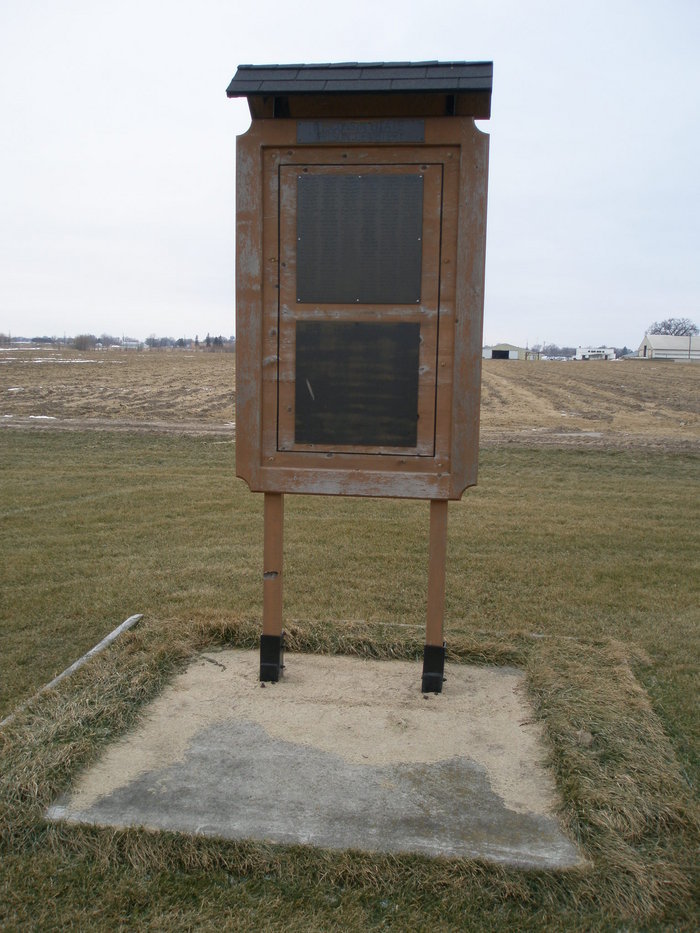
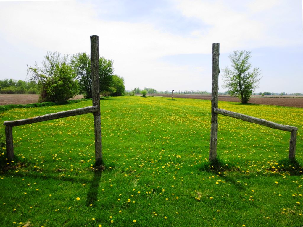
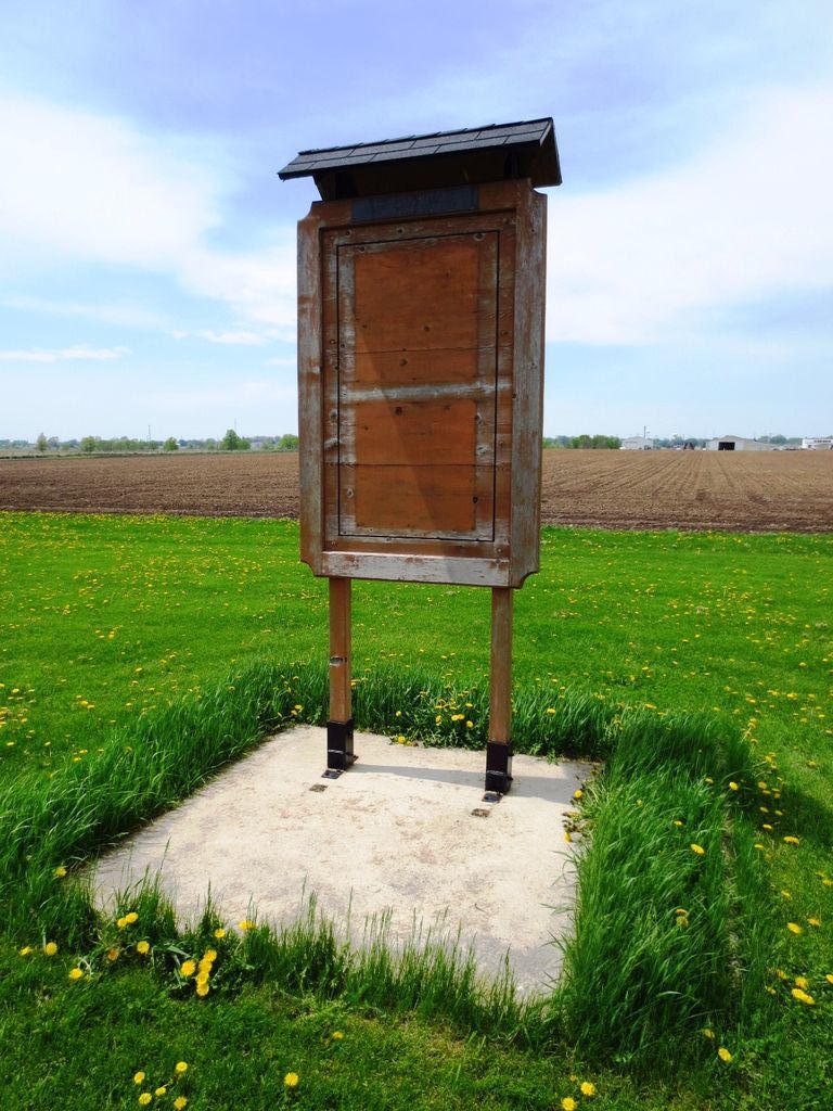
| Description | : | Located outside Waupun in the Township of Chester, this cemetery was the final resting place for unclaimed inmates from the Wisconsin State Prison (now Waupun Correctional Institution) and patients from Central State Hospital. It was used from 1871 to 1975. Originally, each grave had a marker bearing the grave number. In the 1980s, metal markers were installed bearing the name, number, institution, and date of death of each individual. Those markers were later replaced with one large sign bearing the names and dates of death of those buried here. The sign was later removed for repairs. ... Read More |
frequently asked questions (FAQ):
-
Where is Wisconsin State Prison Cemetery?
Wisconsin State Prison Cemetery is located at Waupun, Dodge County ,Wisconsin ,USA.
-
Wisconsin State Prison Cemetery cemetery's updated grave count on graveviews.com?
0 memorials
-
Where are the coordinates of the Wisconsin State Prison Cemetery?
Latitude: 43.6291640
Longitude: -88.7046860
Nearby Cemetories:
1. Waupun Cemetery
Waupun, Dodge County, USA
Coordinate: 43.6275220, -88.7248780
2. Cattaraugus Cemetery
Waupun, Fond du Lac County, USA
Coordinate: 43.6506004, -88.6992035
3. Forest Mound Cemetery
Waupun, Fond du Lac County, USA
Coordinate: 43.6391716, -88.7316666
4. Calvary Cemetery
Waupun, Fond du Lac County, USA
Coordinate: 43.6472015, -88.7296982
5. Norwegian Evangelical Lutheran Cemetery
Waupun, Fond du Lac County, USA
Coordinate: 43.6458200, -88.6540000
6. Atwater Cemetery
Atwater, Dodge County, USA
Coordinate: 43.5648450, -88.7254140
7. Oak Center Cemetery
Oak Center, Fond du Lac County, USA
Coordinate: 43.6466600, -88.6009400
8. Rock River Cemetery
Oakfield, Fond du Lac County, USA
Coordinate: 43.6856003, -88.6296997
9. Alto Cemetery
Alto, Fond du Lac County, USA
Coordinate: 43.6758308, -88.7933273
10. Miles Farm Cemetery
LeRoy, Dodge County, USA
Coordinate: 43.6251880, -88.5917650
11. Burnett Union Cemetery
Burnett, Dodge County, USA
Coordinate: 43.5448151, -88.7120285
12. Calvary Cemetery
Alto, Fond du Lac County, USA
Coordinate: 43.6624400, -88.8177600
13. Oak Mound Cemetery
Alto, Fond du Lac County, USA
Coordinate: 43.6892014, -88.7977982
14. Wedges Prairie Cemetery
Waupun, Fond du Lac County, USA
Coordinate: 43.7193985, -88.6939011
15. Highland Memory Gardens
Trenton, Dodge County, USA
Coordinate: 43.5470009, -88.7809982
16. East Ladoga Cemetery
Ladoga, Fond du Lac County, USA
Coordinate: 43.7228012, -88.6418991
17. Trenton Cemetery
Trenton, Dodge County, USA
Coordinate: 43.5671997, -88.8313980
18. Mount Pleasant Cemetery
Oakfield, Fond du Lac County, USA
Coordinate: 43.6391983, -88.5460968
19. Union Prairie Cemetery
Brandon, Fond du Lac County, USA
Coordinate: 43.7388560, -88.7658410
20. Brandon Cemetery
Brandon, Fond du Lac County, USA
Coordinate: 43.7327805, -88.7897186
21. Tidyman Cemetery
LeRoy, Dodge County, USA
Coordinate: 43.5482370, -88.5810470
22. Saint Paul Cemetery
Kekoskee, Dodge County, USA
Coordinate: 43.5455310, -88.5809180
23. West Alto Cemetery
Alto, Fond du Lac County, USA
Coordinate: 43.6697006, -88.8660965
24. Saint Andrews Church Cemetery
LeRoy, Dodge County, USA
Coordinate: 43.5732994, -88.5500336