
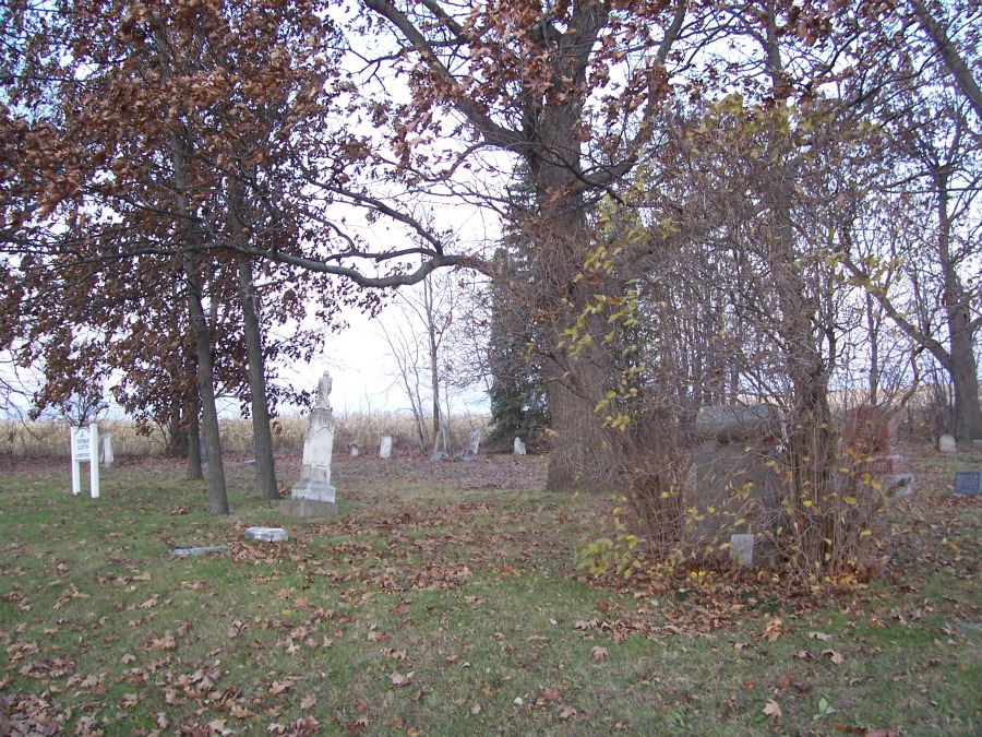
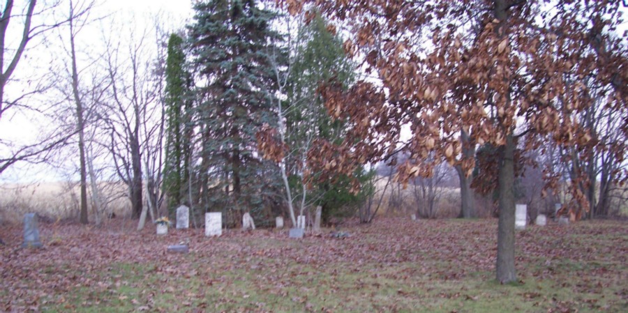
| Memorials | : | 5 |
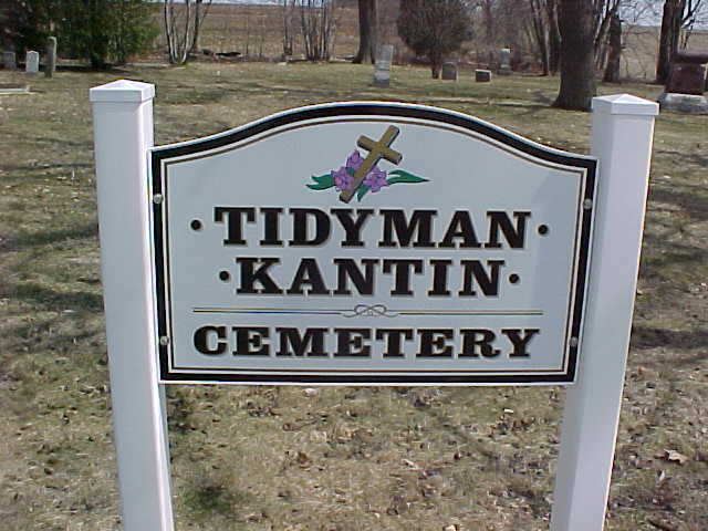
| Location | : | LeRoy, Dodge County, USA |
| Coordinate | : | 43.5482370, -88.5810470 |
| Description | : | This cemetery was originally copied by Lindert & Quella in the late 1970s. |
frequently asked questions (FAQ):
-
Where is Tidyman Cemetery?
Tidyman Cemetery is located at LeRoy, Dodge County ,Wisconsin ,USA.
-
Tidyman Cemetery cemetery's updated grave count on graveviews.com?
5 memorials
-
Where are the coordinates of the Tidyman Cemetery?
Latitude: 43.5482370
Longitude: -88.5810470
Nearby Cemetories:
1. Saint Paul Cemetery
Kekoskee, Dodge County, USA
Coordinate: 43.5455310, -88.5809180
2. Kekoskee Cemetery
Kekoskee, Dodge County, USA
Coordinate: 43.5263390, -88.5612850
3. Saint Andrews Church Cemetery
LeRoy, Dodge County, USA
Coordinate: 43.5732994, -88.5500336
4. Saint Luke Evangelical Lutheran Church Cemetery
Knowles, Dodge County, USA
Coordinate: 43.5718720, -88.5016540
5. Old Saint Marys Catholic Cemetery
Mayville, Dodge County, USA
Coordinate: 43.4935200, -88.5394100
6. Graceland Cemetery
Mayville, Dodge County, USA
Coordinate: 43.4900818, -88.5464325
7. Saint Johns Cemetery
Mayville, Dodge County, USA
Coordinate: 43.4880500, -88.5473200
8. Emanuel Cemetery
Knowles, Dodge County, USA
Coordinate: 43.5877991, -88.4997025
9. Saint Marys Catholic Cemetery
Mayville, Dodge County, USA
Coordinate: 43.4809494, -88.5461731
10. Saint Pauls Cemetery
Theresa, Dodge County, USA
Coordinate: 43.4935989, -88.5141983
11. Saint Peters Cemetery
Theresa, Dodge County, USA
Coordinate: 43.5367012, -88.4794006
12. Brownsville Community Cemetery
Brownsville, Dodge County, USA
Coordinate: 43.5995380, -88.5053440
13. Miles Farm Cemetery
LeRoy, Dodge County, USA
Coordinate: 43.6251880, -88.5917650
14. Mount Pleasant Cemetery
LeRoy, Dodge County, USA
Coordinate: 43.6167800, -88.5263000
15. Saint Gobki Cemetery
Theresa, Dodge County, USA
Coordinate: 43.5144005, -88.4803009
16. Immanuel Evangelical Lutheran Cemetery
Theresa, Dodge County, USA
Coordinate: 43.4860260, -88.4956780
17. Greenbush Cemetery
Mayville, Dodge County, USA
Coordinate: 43.4644012, -88.5222015
18. Mount Pleasant Cemetery
Oakfield, Fond du Lac County, USA
Coordinate: 43.6391983, -88.5460968
19. Burnett Union Cemetery
Burnett, Dodge County, USA
Coordinate: 43.5448151, -88.7120285
20. Saint Pauls Evangelical Lutheran Cemetery
Brownsville, Dodge County, USA
Coordinate: 43.6167200, -88.4889100
21. Union Cemetery
Theresa, Dodge County, USA
Coordinate: 43.5261002, -88.4514008
22. Saint John's Lutheran Cemetery
Horicon, Dodge County, USA
Coordinate: 43.4499830, -88.5621210
23. Oak Center Cemetery
Oak Center, Fond du Lac County, USA
Coordinate: 43.6466600, -88.6009400
24. Saint Pauls Evangelical Lutheran Cemetery
Lomira, Dodge County, USA
Coordinate: 43.5510050, -88.4430740