
| Memorials | : | 10 |
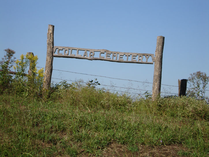
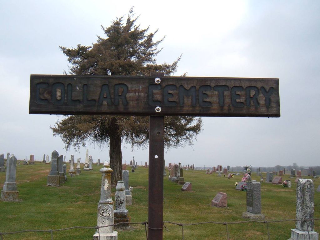
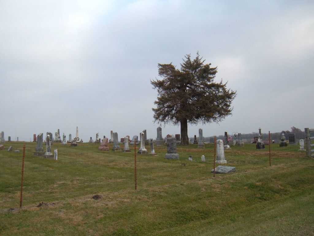
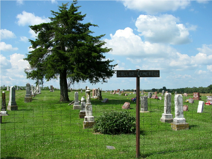
| Location | : | Dawn, Livingston County, USA |
| Coordinate | : | 39.6345700, -93.6418300 |
frequently asked questions (FAQ):
-
Where is Collar Cemetery?
Collar Cemetery is located at Dawn, Livingston County ,Missouri ,USA.
-
Collar Cemetery cemetery's updated grave count on graveviews.com?
9 memorials
-
Where are the coordinates of the Collar Cemetery?
Latitude: 39.6345700
Longitude: -93.6418300
Nearby Cemetories:
1. Gudgel Cemetery
Carroll County, USA
Coordinate: 39.5993996, -93.6660995
2. Elliot Cemetery
Dawn, Livingston County, USA
Coordinate: 39.6737900, -93.6265900
3. Plymouth Cemetery
Plymouth, Carroll County, USA
Coordinate: 39.6006012, -93.7014008
4. Monroe Cemetery
Ludlow, Livingston County, USA
Coordinate: 39.6690000, -93.7020000
5. Enon Cemetery
Carroll County, USA
Coordinate: 39.5758000, -93.6366000
6. Blue Mound Cemetery
Dawn, Livingston County, USA
Coordinate: 39.6352997, -93.5625000
7. Brown Family Cemetery
Caldwell County, USA
Coordinate: 39.5978851, -93.7202454
8. Christison Cemetery
Blue Mound, Livingston County, USA
Coordinate: 39.6981400, -93.5751200
9. New Salem Cemetery
Carroll County, USA
Coordinate: 39.5705681, -93.5641022
10. Sykes Cemetery
Carroll County, USA
Coordinate: 39.5449000, -93.5993000
11. McCoskrie Cemetery
Ludlow, Livingston County, USA
Coordinate: 39.6968300, -93.7393800
12. Unnamed Cemetery #5
Carroll County, USA
Coordinate: 39.5480995, -93.5820007
13. Utica Cemetery
Utica, Livingston County, USA
Coordinate: 39.7366819, -93.6361158
14. Toner Cemetery
Ludlow, Livingston County, USA
Coordinate: 39.6948870, -93.7502860
15. Oak Grove Cemetery
Avalon, Livingston County, USA
Coordinate: 39.6505750, -93.5035460
16. Mayberry Cemetery
Livingston County, USA
Coordinate: 39.6506004, -93.5033035
17. Johnson Cemetery
Carroll County, USA
Coordinate: 39.6136017, -93.4985962
18. Oster Cemetery
Caldwell County, USA
Coordinate: 39.5684400, -93.7622100
19. Rucker Burial
Mooresville, Livingston County, USA
Coordinate: 39.7477385, -93.6874804
20. Low Gap Cemetery
Norborne, Carroll County, USA
Coordinate: 39.5244000, -93.7024000
21. Braden Cemetery
Coloma, Carroll County, USA
Coordinate: 39.5393982, -93.5460968
22. Unnamed Cemetery #10
Carroll County, USA
Coordinate: 39.6150017, -93.4850998
23. Hudgins Cemetery
Mooresville, Livingston County, USA
Coordinate: 39.7428200, -93.7183100
24. Phares Family Cemetery
Braymer, Caldwell County, USA
Coordinate: 39.6549416, -93.8010101