
| Memorials | : | 6 |
| Location | : | Summersville, Shannon County, USA |
| Coordinate | : | 37.1053505, -91.6523285 |
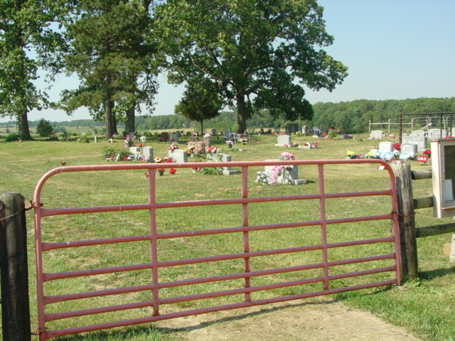
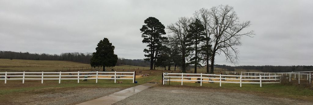
| Description | : | Location: South of Summersville, Mo., on Hwy 17, 5.4 miles to W Hwy. turn left (East) go .4 miles, cemetery is on the right behind the Oakside Community Church. |
frequently asked questions (FAQ):
-
Where is Oakside Cemetery?
Oakside Cemetery is located at Summersville, Shannon County ,Missouri ,USA.
-
Oakside Cemetery cemetery's updated grave count on graveviews.com?
5 memorials
-
Where are the coordinates of the Oakside Cemetery?
Latitude: 37.1053505
Longitude: -91.6523285

Nearby Cemetories:
1. Welch Cemetery
Summersville, Shannon County, USA
Coordinate: 37.1604670, -91.6267330
2. Pilgrim Rest Cemetery
Teresita, Shannon County, USA
Coordinate: 37.0189018, -91.6485977
3. Barnett Cemetery
Summersville, Shannon County, USA
Coordinate: 37.1954994, -91.6169968
4. Turkey Oak Cemetery
Montier, Shannon County, USA
Coordinate: 37.0203018, -91.5768967
5. Saint John Vianney Catholic Cemetery
Mountain View, Howell County, USA
Coordinate: 37.0037498, -91.7072525
6. Veterans Memorial Cemetery
Mountain View, Howell County, USA
Coordinate: 36.9975014, -91.6869965
7. Greenlawn Cemetery
Mountain View, Howell County, USA
Coordinate: 36.9975014, -91.6892014
8. Mountain View Cemetery
Mountain View, Howell County, USA
Coordinate: 36.9972992, -91.6904984
9. Dunkard Cemetery
Montier, Shannon County, USA
Coordinate: 37.0208015, -91.5580978
10. Gill Cemetery
Mountain View, Howell County, USA
Coordinate: 37.0224991, -91.7500000
11. Dyer Cemetery
Alley Spring, Shannon County, USA
Coordinate: 37.1217003, -91.5081024
12. Black Pond Cemetery
Alley Spring, Shannon County, USA
Coordinate: 37.1478004, -91.5130997
13. Pickett Cemetery
Summersville, Shannon County, USA
Coordinate: 37.2252998, -91.6374969
14. New Salem Cemetery
Mountain View, Howell County, USA
Coordinate: 37.0278015, -91.7727966
15. Pleasant Grove Cemetery
Teresita, Shannon County, USA
Coordinate: 36.9742012, -91.6206970
16. Flat Rock Cemetery
Eminence, Shannon County, USA
Coordinate: 37.1926003, -91.5232086
17. Montier Cemetery
Montier, Shannon County, USA
Coordinate: 36.9847984, -91.5754013
18. Berea Mennonite Cemetery
Birch Tree, Shannon County, USA
Coordinate: 37.0246010, -91.5110016
19. Padgett Cemetery
Mountain View, Howell County, USA
Coordinate: 36.9727173, -91.7155533
20. Grace Cemetery
Mountain View, Howell County, USA
Coordinate: 37.0075684, -91.7871323
21. Old Baptist Cemetery
Birch Tree, Shannon County, USA
Coordinate: 36.9798775, -91.5186768
22. Chapel Hill Cemetery
Chapel, Howell County, USA
Coordinate: 36.9358290, -91.6826140
23. Alley Cemetery
Alley Spring, Shannon County, USA
Coordinate: 37.1425018, -91.4417038
24. Valley Center Cemetery
Shannon County, USA
Coordinate: 37.2860985, -91.6396027