
| Memorials | : | 1 |
| Location | : | Montier, Shannon County, USA |
| Coordinate | : | 37.0203018, -91.5768967 |
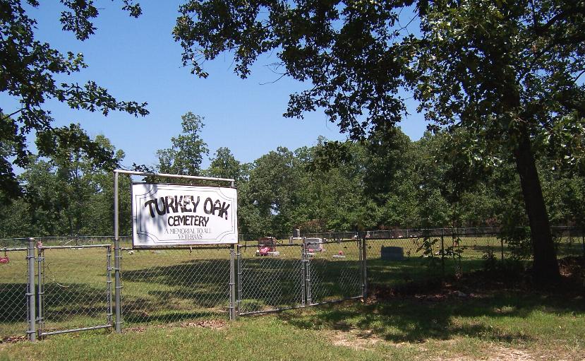
| Description | : | North of Montier, Mo., on Hwy M 1.5 miles, continue on Hwy ZZ 1 mile, cemetery is on the right, behind the old Turkey Oak School, now used as a community center. Many graves marked with only a fieldstone. |
frequently asked questions (FAQ):
-
Where is Turkey Oak Cemetery?
Turkey Oak Cemetery is located at Montier, Shannon County ,Missouri ,USA.
-
Turkey Oak Cemetery cemetery's updated grave count on graveviews.com?
1 memorials
-
Where are the coordinates of the Turkey Oak Cemetery?
Latitude: 37.0203018
Longitude: -91.5768967
Nearby Cemetories:
1. Dunkard Cemetery
Montier, Shannon County, USA
Coordinate: 37.0208015, -91.5580978
2. Montier Cemetery
Montier, Shannon County, USA
Coordinate: 36.9847984, -91.5754013
3. Berea Mennonite Cemetery
Birch Tree, Shannon County, USA
Coordinate: 37.0246010, -91.5110016
4. Pilgrim Rest Cemetery
Teresita, Shannon County, USA
Coordinate: 37.0189018, -91.6485977
5. Pleasant Grove Cemetery
Teresita, Shannon County, USA
Coordinate: 36.9742012, -91.6206970
6. Old Baptist Cemetery
Birch Tree, Shannon County, USA
Coordinate: 36.9798775, -91.5186768
7. Brown-DePriest Cemetery
Birch Tree, Shannon County, USA
Coordinate: 36.9674988, -91.5000000
8. Oak Forest Cemetery
Birch Tree, Shannon County, USA
Coordinate: 36.9818993, -91.4847031
9. Warm Corners Cemetery
Birch Tree, Shannon County, USA
Coordinate: 36.9653015, -91.4880981
10. Veterans Memorial Cemetery
Mountain View, Howell County, USA
Coordinate: 36.9975014, -91.6869965
11. Greenlawn Cemetery
Mountain View, Howell County, USA
Coordinate: 36.9975014, -91.6892014
12. Mountain View Cemetery
Mountain View, Howell County, USA
Coordinate: 36.9972992, -91.6904984
13. New Salem Cemetery
Teresita, Shannon County, USA
Coordinate: 36.9239006, -91.6027985
14. Corinth Cemetery
Birch Tree, Shannon County, USA
Coordinate: 36.9169998, -91.5661011
15. Oakside Cemetery
Summersville, Shannon County, USA
Coordinate: 37.1053505, -91.6523285
16. Saint John Vianney Catholic Cemetery
Mountain View, Howell County, USA
Coordinate: 37.0037498, -91.7072525
17. Dyer Cemetery
Alley Spring, Shannon County, USA
Coordinate: 37.1217003, -91.5081024
18. Chapel Hill Cemetery
Chapel, Howell County, USA
Coordinate: 36.9358290, -91.6826140
19. Oak Grove Cemetery
Birch Tree, Shannon County, USA
Coordinate: 36.9632111, -91.4445267
20. Padgett Cemetery
Mountain View, Howell County, USA
Coordinate: 36.9727173, -91.7155533
21. Bethlehem Cemetery
Thomasville, Oregon County, USA
Coordinate: 36.8861389, -91.5680008
22. Black Pond Cemetery
Alley Spring, Shannon County, USA
Coordinate: 37.1478004, -91.5130997
23. Gill Cemetery
Mountain View, Howell County, USA
Coordinate: 37.0224991, -91.7500000
24. Welch Cemetery
Summersville, Shannon County, USA
Coordinate: 37.1604670, -91.6267330