
| Memorials | : | 1524 |
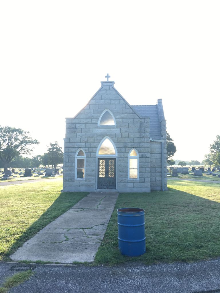
| Location | : | Parsons, Labette County, USA |
| Coordinate | : | 37.3375500, -95.2402800 |
| Description | : | Directions: 1. In the city of Parsons, Kansas from the Main Street - Highway 59 Junction. 3. Go East on Main Street for one (1) mile to Leawood St. 4. Turn Right (South) on Leawood for one-tenth mile directly into the historic Oakwood Cemetery. |
frequently asked questions (FAQ):
-
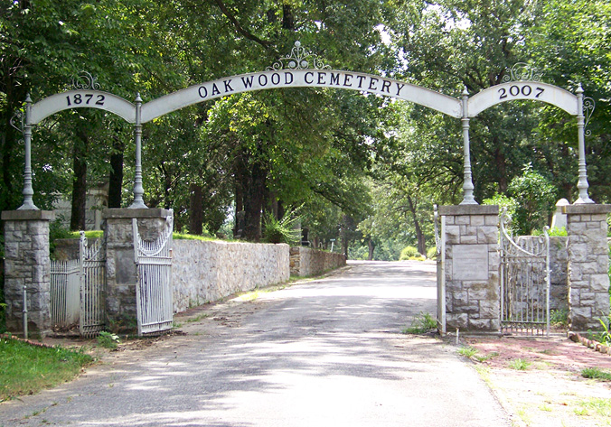
Where is Oakwood Cemetery?
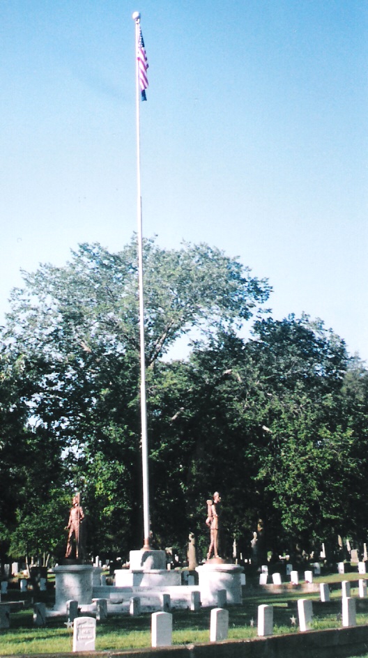
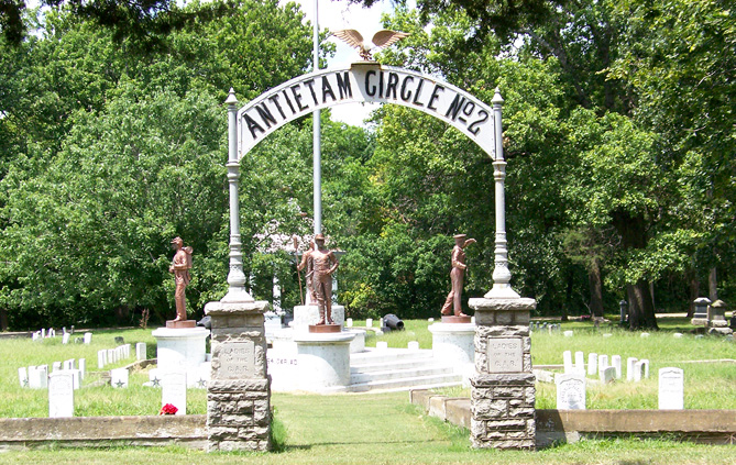
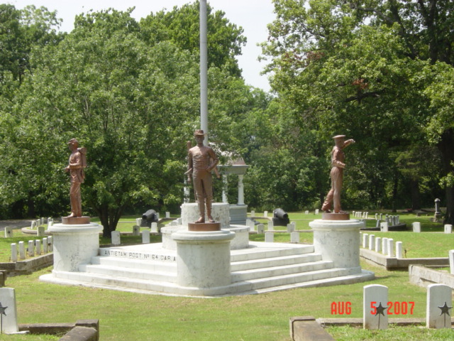
Oakwood Cemetery is located at Parsons, Labette County ,Kansas ,USA.
-
Oakwood Cemetery cemetery's updated grave count on graveviews.com?
1493 memorials
-
Where are the coordinates of the Oakwood Cemetery?
Latitude: 37.3375500
Longitude: -95.2402800
Nearby Cemetories:
1. Lucken Cemetery
Parsons, Labette County, USA
Coordinate: 37.3547870, -95.2854960
2. Pefley Cemetery
Parsons, Labette County, USA
Coordinate: 37.3564900, -95.2856000
3. Parsons State Hospital Cemetery
Parsons, Labette County, USA
Coordinate: 37.3571060, -95.2856310
4. Calvary Cemetery
Parsons, Labette County, USA
Coordinate: 37.3578100, -95.2855000
5. Memorial Lawn Cemetery
Parsons, Labette County, USA
Coordinate: 37.3013992, -95.2833023
6. Spring Hill Cemetery
Parsons, Labette County, USA
Coordinate: 37.2882000, -95.2497500
7. Mount Olivet Roman Catholic Cemetery
Parsons, Labette County, USA
Coordinate: 37.2998500, -95.2857500
8. Franklin Cemetery
Montana, Labette County, USA
Coordinate: 37.3182983, -95.1746979
9. East Bethany Cemetery
Neosho County, USA
Coordinate: 37.3983002, -95.2692032
10. West Bethany Cemetery
Neosho County, USA
Coordinate: 37.3983002, -95.2699966
11. Center Cemetery
Labette County, USA
Coordinate: 37.3396730, -95.1576630
12. Evergreen Cemetery
Neosho County, USA
Coordinate: 37.4008446, -95.2063217
13. Oak Grove Cemetery
Neosho County, USA
Coordinate: 37.3968925, -95.1700974
14. Fairview Cemetery
Parsons, Labette County, USA
Coordinate: 37.2963700, -95.1408800
15. Old Oak Grove Cemetery
Neosho County, USA
Coordinate: 37.4050751, -95.1635742
16. Ladore Cemetery
Ladore Township, Neosho County, USA
Coordinate: 37.4059000, -95.3169500
17. South Mound Cemetery
South Mound, Neosho County, USA
Coordinate: 37.4349800, -95.2245400
18. Brown Cemetery
Neosho County, USA
Coordinate: 37.4244003, -95.1725006
19. Labette Cemetery
Labette, Labette County, USA
Coordinate: 37.2447014, -95.1772003
20. Valley Cemetery
Galesburg, Neosho County, USA
Coordinate: 37.3986500, -95.3522400
21. Wilsonton Cemetery
Parsons, Labette County, USA
Coordinate: 37.2597700, -95.3397800
22. Richland Cemetery
Neosho County, USA
Coordinate: 37.4024162, -95.1253357
23. Montana Cemetery
Montana, Labette County, USA
Coordinate: 37.2661157, -95.1315282
24. Spring Valley Cemetery
Altamont, Labette County, USA
Coordinate: 37.2224900, -95.2471400