
| Memorials | : | 0 |
| Location | : | Neosho County, USA |
| Coordinate | : | 37.4050751, -95.1635742 |
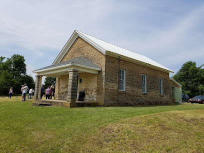
| Description | : | ************************** Abandoned cemetery located in Lincoln Township, Section 25, Neosho County, Kansas. It is on the east-central one-half of the Section. This cemetery was one of the earliest in the area, but was abandoned in favor of the "new" Oak Grove Cemetery (also known as the Hewitt Cemetery). The cemetery comprises about 10 acres, but is totally un-maintained, and is used as cattle pasture for decades. It could have a hundred or more names in it, but as of 1974 there were only 15 that were identifiable. There are no known records of burials. *************************** |
frequently asked questions (FAQ):
-
Where is Old Oak Grove Cemetery?
Old Oak Grove Cemetery is located at Neosho County ,Kansas ,USA.
-
Old Oak Grove Cemetery cemetery's updated grave count on graveviews.com?
0 memorials
-
Where are the coordinates of the Old Oak Grove Cemetery?
Latitude: 37.4050751
Longitude: -95.1635742
Nearby Cemetories:
1. Oak Grove Cemetery
Neosho County, USA
Coordinate: 37.3968925, -95.1700974
2. Brown Cemetery
Neosho County, USA
Coordinate: 37.4244003, -95.1725006
3. Richland Cemetery
Neosho County, USA
Coordinate: 37.4024162, -95.1253357
4. Evergreen Cemetery
Neosho County, USA
Coordinate: 37.4008446, -95.2063217
5. Valley Cemetery
Saint Paul, Neosho County, USA
Coordinate: 37.4420013, -95.1149979
6. South Mound Cemetery
South Mound, Neosho County, USA
Coordinate: 37.4349800, -95.2245400
7. Jacksonville Cemetery
Strauss, Labette County, USA
Coordinate: 37.3704000, -95.0974600
8. Center Cemetery
Labette County, USA
Coordinate: 37.3396730, -95.1576630
9. Dumbauld Cemetery
Crawford County, USA
Coordinate: 37.4207993, -95.0792007
10. Frogge Cemetery
McCune, Crawford County, USA
Coordinate: 37.4352989, -95.0777969
11. East Bethany Cemetery
Neosho County, USA
Coordinate: 37.3983002, -95.2692032
12. West Bethany Cemetery
Neosho County, USA
Coordinate: 37.3983002, -95.2699966
13. Franklin Cemetery
Montana, Labette County, USA
Coordinate: 37.3182983, -95.1746979
14. Oakwood Cemetery
Parsons, Labette County, USA
Coordinate: 37.3375500, -95.2402800
15. Calvary Cemetery
Parsons, Labette County, USA
Coordinate: 37.3578100, -95.2855000
16. Parsons State Hospital Cemetery
Parsons, Labette County, USA
Coordinate: 37.3571060, -95.2856310
17. Saint Francis Cemetery
Saint Paul, Neosho County, USA
Coordinate: 37.5133018, -95.1567001
18. Pefley Cemetery
Parsons, Labette County, USA
Coordinate: 37.3564900, -95.2856000
19. Swayze Family Cemetery
Erie, Neosho County, USA
Coordinate: 37.4839200, -95.2585400
20. Lucken Cemetery
Parsons, Labette County, USA
Coordinate: 37.3547870, -95.2854960
21. Fairview Cemetery
Parsons, Labette County, USA
Coordinate: 37.2963700, -95.1408800
22. Saint Francis Churchyard Cemetery
Saint Paul, Neosho County, USA
Coordinate: 37.5154037, -95.1621017
23. McCune Cemetery
McCune, Crawford County, USA
Coordinate: 37.3555984, -95.0333023
24. Harley Cemetery
Sherman, Cherokee County, USA
Coordinate: 37.3260994, -95.0550003