
| Memorials | : | 0 |
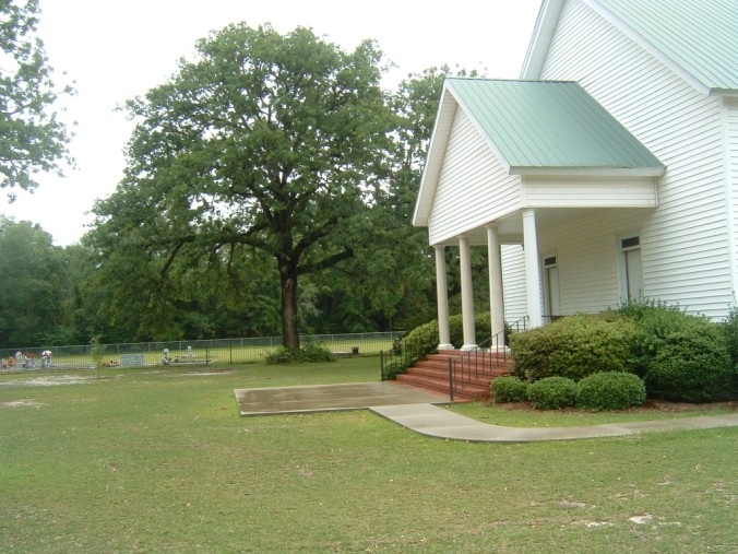
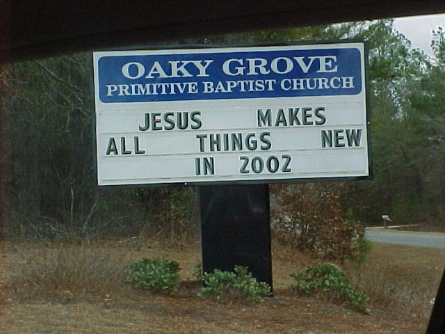
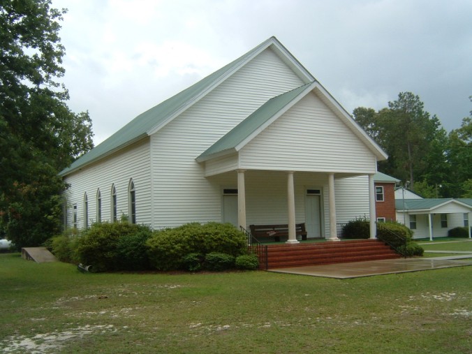
| Location | : | Wrightsville, Johnson County, USA |
| Coordinate | : | 32.7730680, -82.5608930 |
| Description | : | Located on the west banks of the Little Ohoopee River. Go about 8 miles north on highway 319. Turn right at crossroads. Go almost 2 1/2 miles and turn left (at church sign). |
frequently asked questions (FAQ):
-
Where is Oaky Grove Primitive Baptist Church Cemetery?
Oaky Grove Primitive Baptist Church Cemetery is located at Wrightsville, Johnson County ,Georgia ,USA.
-
Oaky Grove Primitive Baptist Church Cemetery cemetery's updated grave count on graveviews.com?
0 memorials
-
Where are the coordinates of the Oaky Grove Primitive Baptist Church Cemetery?
Latitude: 32.7730680
Longitude: -82.5608930
Nearby Cemetories:
1. John W Harrison Cemetery
Wrightsville, Johnson County, USA
Coordinate: 32.7587340, -82.5658560
2. New Home Missionary Baptist Church Cemetery
Wrightsville, Johnson County, USA
Coordinate: 32.7636700, -82.5838150
3. Price Cemetery
Johnson County, USA
Coordinate: 32.7975006, -82.5681000
4. King-Mason Cemetery
Johnson County, USA
Coordinate: 32.7769012, -82.5306015
5. Davis Cemetery
Johnson County, USA
Coordinate: 32.8041992, -82.5466995
6. Powells Chapel Church Cemetery
Johnson County, USA
Coordinate: 32.7725750, -82.5151300
7. Gumlog Primitive Baptist Church Cemetery
Kite, Johnson County, USA
Coordinate: 32.7312711, -82.5162420
8. Fortner Cemetery
Kite, Johnson County, USA
Coordinate: 32.7069016, -82.5456009
9. Sand Hill Missionary Baptist Church Cemetery
Kite, Johnson County, USA
Coordinate: 32.7283270, -82.6221200
10. Nails Creek Baptist Church Cemetery
Bartow, Jefferson County, USA
Coordinate: 32.8252170, -82.5077060
11. Curry Cemetery
Johnson County, USA
Coordinate: 32.7891998, -82.6449966
12. Stephens
Kite, Johnson County, USA
Coordinate: 32.6984800, -82.5578800
13. Saint Paul Cemetery
Kite, Johnson County, USA
Coordinate: 32.6976400, -82.5577110
14. Tarver Grove Baptist Church Cemetery
Jefferson County, USA
Coordinate: 32.8446130, -82.5257560
15. Minton Chapel Advent Christian Church Cemetery
Kite, Johnson County, USA
Coordinate: 32.7327220, -82.4790250
16. Rehoboth Baptist Church Cemetery
Johnson County, USA
Coordinate: 32.6933190, -82.5769750
17. Union Hill Baptist Church Cemetery
Johnson County, USA
Coordinate: 32.7271400, -82.6405760
18. William's Chapel Baptist Church Cemetery
Kite, Johnson County, USA
Coordinate: 32.7071660, -82.4898040
19. Bill Meeks Cemetery
Wrightsville, Johnson County, USA
Coordinate: 32.6921080, -82.5140190
20. Pollett Cemetery
Johnson County, USA
Coordinate: 32.7392006, -82.4610977
21. Rachels Screws Cemetery
Wadley, Jefferson County, USA
Coordinate: 32.8076640, -82.4604580
22. Kite City Cemetery
Kite, Johnson County, USA
Coordinate: 32.6901980, -82.5087080
23. Anderson Cemetery
Kite, Johnson County, USA
Coordinate: 32.6775017, -82.5639038
24. Garnto Cemetery
Wrightsville, Johnson County, USA
Coordinate: 32.6951870, -82.6303580